11.782 resultados
1945ref. 19977Paris L. Fournier & Cie 1945 In-12, 2 Volumes 153 + 119 pp
ref. 0243851316.Gpaperback. Good. Access codes and supplements are not guaranteed with used items. May be an ex-library book. paperback
ref. 0282475524.Gpaperback. Good. Access codes and supplements are not guaranteed with used items. May be an ex-library book. paperback
ref. 0366216953.Gpaperback. Good. Access codes and supplements are not guaranteed with used items. May be an ex-library book. paperback
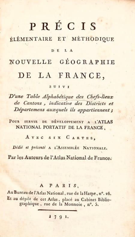
1791ref. 43624Paris, Bureau de l'Atlas National, Imprimerie du Cercle social, 1791. In-8 de (4)-XXXIX-(1)-240-(2) pp., 2 tableaux et 7 cartes hors texte repliés, basane granitée, dos lisse orné, pièce de titre en maroquin rouge, tranches rouges (reliure de l'époque).
ref. 17298Grenoble, Richard, s.d. (vers 1980), 1 carte postale en couleurs de 17 x 12 cm.
1997ref. 128712Le Monde Des Telecartes, n° 8 1997 In-8 broché 20 cm sur 14,5. Bon état d’occasion.
ref. 230822Bruxelles, Eugène Henrÿ FRICX, 1709 sans les marges : 42 x 54 cm - cadre : 60.5 x 70.5 cm, cadre contemporain à baguettes. Pliure centrale. Quelques taches.
20012 volumi in folio atlantico, 42 cm, rilegatura in carta pergamenta con titoli e fregi impressi a secco, cofanetto editoriale in seta con illustrazione e titolo in oro. Vol. I: (c. 200 n.n); Vol. II: X, 307 , . Il primo volume stampato a 5 colori su carta filigranata è la riproduzione anastatica dell'edizione incunabula del 1486 con numerose illustrazioni e carte geografiche anche a doppia pagina. Il secondo volume "Studio e Traduzione" a cura di Sante Bortolani. Edizione di pregio, rilegata a mano e limitata a 2999 esemplari (il nostro n°1238)
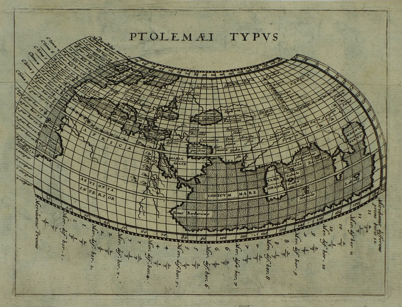
1561Carta tratta dalla "Geographia di Claudio Tolomeo", a cura del Ruscelli, pubblicata in Venezia in pù edizioni tra il 1561 ed il 1598. La carta è basata sulla "Geografia" di Giacomo Gastaldi, che probabilmente disegnò personalmente anche queste mappe, che vennero incise dai fratelli Sanuto. La peculiarità di queste mappe è che sono incise due per lastra e successivamente tagliate; questo il motivo per cui il segno del rame appare solo in tre lati della mappa. Il testo del Ruscelli e le sue carte sono considerate come il miglior atlante moderno fino alla prima versione del Thatrum di Ortelius, 1570. Solo la loro enorme diffusione ne impedisce una valutazione sostenuta nel mercato antiquario. L'opera infatti ebbe una prima stesura nel 1561, stampata da Vincenzo Valgrisi che ne curò anche la ristampa del 1562. Tre sono le edizioni firmate da Giordano Ziletti (due nel 1564 e una del 1574), mentre nel 1597 viene edita dai fratelli Calignani. Tutte queste edizioni contengono 64 tavole. Nel 1598 e 1599 vengono alla luce le due edizioni curate da Giuseppe Rosaccio e stampate dagli Eredi di Melchior Sessa. Queste ultime due edizioni comprendono 69 tavole; sono infatti aggiunte la carta del planisfero e dei continenti del Rosaccio. Map, taken from Ruscelli edition of Ptolemy's "Geographia", printed in Venice from 1561 to 1598. Ruscelli's Atlas is an expanded edition of Gastaldi's Atlas of 1548, which has been called the most comprehensive atlas produced between Martin Waldseemüller's Geographiae of 1513, and the Abraham Ortelius Theatrum of 1570.Ruscelli and Gastaldi's maps were beautifully engraved on copper, marking a turning point in the history of cartography. From that point forward, the majority of cartographic works used this medium. As it was a harder material than wood it gave the engraver the ability to render more detail. Gastaldi sought the most up-to-date geographical information available, making the modern maps in Ruscelli's Geographia among the best modern maps of the period. The maps are engraved by the Sanuto borthers.Copperplate, good condition.
1617ref. LBW-1937[Arnhem, Joannes Jansson, 1617]. 132 x 172 mm.
1902Outside dimensions 14.5" x 10.5". Circa 1902. Centerfold. Light wear. Please see our photo for details. Book
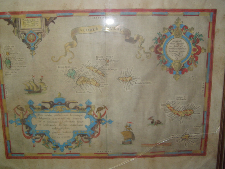
1584ref. 224251584 Orig. copper-engraving. Published by A. Ortelius after to L. Teixeira's map of the Açores. Dated 1584. Coloured. With title in decorative border, 3 ornamental cartouches, 2 ships, sea-monster and "Scala Leucarum". 32,5:46,5 cm (12 3/4 x 18 1/4 inch.) 2,5 x 46,5 cm Van der Krogt, Koeman's Atlantes Neerlandici, Vol. III B, 6350:31; Van den Broecke, Ortelius Atlas Maps, Nr. 24. - Stammt aus einer von fünf lateinischen Ausgaben, die in den Jahren 1595 - 1612 erschienen. Alle tragen das Datum 1584 in der großen Kartusche.A splendid sea chart of the Azores with three scrollwork cartouches; the ocean is decorated with sailing vessels. A fresh example of this scarce sea chart, based on Teixeira's single sheet map of Terceira from 1582, and a later manuscript atlas of the Azores islands. The Azores played a significant role in international sea trade as a victualling stop and shelter for ships sailing into the South Atlantic. In very good condition. The map was first issued in an edition of 100 examples in the Additamentum to the 1583 edition of Ortelius' Theatrum Orbis Terrarum, which is widely referred to as the first modern atlas and a landmark in the history of Western map making. Beginning in 1570, Abraham Ortelius and his successors published (and continuously added to) this monumental work for a period of over 40 years (not including the very rare edition of 1641), with text on the verso in Latin, Italian, German, Dutch, French, Spanish and English.References: Van Den Broecke 24. Meurs p 253-254.
1935ref. 215892Lahore.: Government Printing Office. Revised Edition. 1935. Four folding colour maps xi 311 pages 26.5 x 18 cms; original papered boards spotted and a trifle scuffed linen backstrip with paper title label worn; foredges and endpapers spotted a few leaves toned but on the whole in very good condition the maps particularly bright and clean. A remarkable association copy: the author Frederick Blyth Wace's copy with his inked initials to the front free endpaper and his humorous unpublished foreword tipped in opposite the preface together with a dedication leaf both in Wace's hand and his business card loose within. As a further dedication makes clear this copy was given by Wace's son a couple of his loose notes on scrap paper are included the eminent botanist Nigel Morritt Wace 1929-2005 late head of the Australian National University's department of Biogeography and Geomorphology in 2003 to his fellow academic and marsupial biologist Dr. Hugh Tyndale-Biscoe. Both Wace and Biscoe were born in India and began their schooling in Kashmir at the school founded by Tyndale-Biscoe's father a Christian missionary and for whom the school is named. From the collection of Hugh Tyndale-Biscoe. . Government Printing Office. hardcover
ref. LBW03d5fParis Benard circa 1850 215 x 292 mm.
1952Cloth backed map in near fine condition, unmarked and not rubbed with some creasing near the folds.. Dusty cover with nicks to the oversize extremeties. 1pp. Seventh Series.
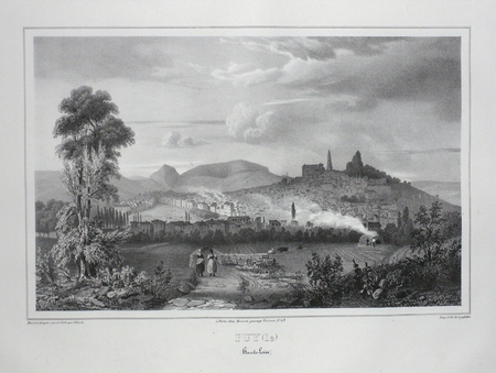
1780ref. 41637Augsburg, G.B. Probst, ca. 1780. Engraved and hand coloured vue d'optique. 30 x 40 cm. Mirrored titel with small tear not affecting text. Colours slightly faded, margins a little foxed.
1780Augsburg, G.B. Probst, ca. 1780. Engraved and hand coloured vue d'optique. 30 x 40 cm. Mirrored titel with small tear not affecting text. Colours slightly faded, margins a little foxed.
1964ref. 140922Couverture rigide. Reliure de l'éditeur. 621 pages. Rhodoïd. Emboitage carton.
1888ref. 140134Couverture souple. Reliure demi-toile. 359 pages.
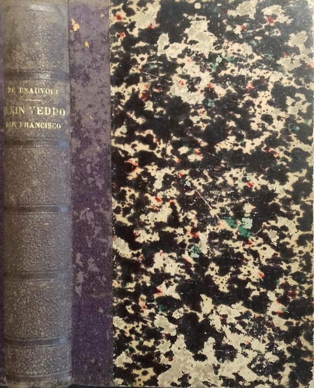
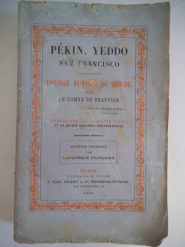
ref. 8922in 12 broché, faux-titre, frontispice sur double page, titre, 335 pages, quatre cartes en couleurs, sur double page, 15 gravures-photographies, certaines sur double page, dont le frontispice, 2 pages de table. Paris Librairie Plon Nourrit& Cie 1888. Dos frotté avec titre et références pratiquement illisibles. A signaler: taches brun clair en demi-cercle dans la marge supérieure du frontispice, une tache brun clair dans la marge supérieure de l’illustration en regard de la page 50, une pâle mouillure en marge extérieure de l’illustration en regard de la page 244. Une mouillure en demi-cercle en marge supérieure de l’illustration en regard de la page 313
ref. RO20222987Cie des Arts Photomécaniques. Non daté. In-18. Broché. Bon état, Couv. convenable, Dos satisfaisant, Intérieur frais. Carnet de 12 cartes postales en noir et blanc détachables.. . . . Classification Dewey : 741.68-Illustrations des cartes postales
ref. RO20223005"Editions d'Art Théojac. Non daté. In-18. En feuillets. Bon état, Couv. convenable, Dos satisfaisant, Intérieur frais. Enveloppe contenant 20 cartes postales de la ville de Périgueux en noir et blanc, incluant la carte figurant sur l'enveloppe. Cartes signées ""Théojac"".. . . . Classification Dewey : 741.68-Illustrations des cartes postales"
1761ref. LBW061a0[Paris, Desnos, 1761]. 360 x 525 mm.
1708ref. 13757Hagae Comitum [La Haye], Apud Petrum van Thol, 1708. 2 volumes in-8 de [68]-103-[5]-378; [2]-379 à 855-[167] pages, plein maroquin citron, dos lisse orné de filets et roulette dorée, pièces de titre, de tomaison (et de cote au premier volume) bordeaux, double filets dorés sur les plats, simple sur les coupes, tranches dorées, roulette int. Tampon avec un L couronné répété au début du texte de chaque volume. Coiffes supérieures frottées.