Kilmann Ralph HLivre Rare Book

12.535 resultados
1977ref. 100125543Elsevier Science Ltd 1977 344 pages in8. 1977. Cartonné jaquette. 344 pages.
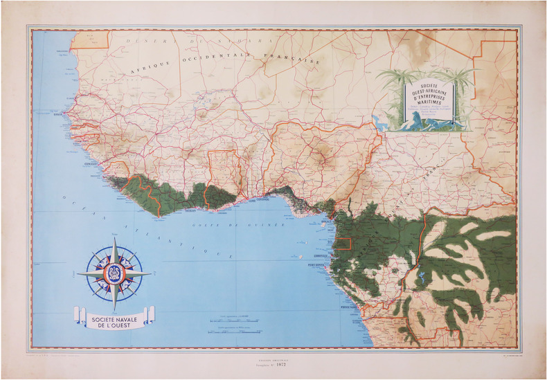
1950ref. LBW-8669Paris, Société Navale de l'Ouest, [vers 1950]. 650 x 960 mm.
1969No marks or inscriptions. No creasing to covers or to slightly arched spine. A very clean very tight copy with bright unmarked boards and no bumping to corners. 107pp. Illustrated.
ref. 1851374728.Gmap. Good. Access codes and supplements are not guaranteed with used items. May be an ex-library book. unknown
1969Very light wear to covers. eng
1881ref. 74181Washington DC: U. S. Congress. Very Good. 1881. Pamphlet. Snake Upper Red and Minnesota Rivers Minnesota; Reservoirs at sources of Rock River Wisconsin and Illinois. Letter from the Secretary of War transmitting surveys .United States. War Department. 1881. 16 pages maps 2 folded ; 23 cm. Washington Govt. Print. Off. 1881. Disbound Pamphlet. The contents are nice and the 2 folding maps are bright and clean. . U. S. Congress unknown books
1881ref. 74181Washington DC: U. S. Congress. Very Good. 1881. Pamphlet. Snake Upper Red and Minnesota Rivers Minnesota; Reservoirs at sources of Rock River Wisconsin and Illinois. Letter from the Secretary of War transmitting surveys .United States. War Department. 1881. 16 pages maps 2 folded ; 23 cm. Washington Govt. Print. Off. 1881. Disbound Pamphlet. The contents are nice and the 2 folding maps are bright and clean. . U. S. Congress unknown
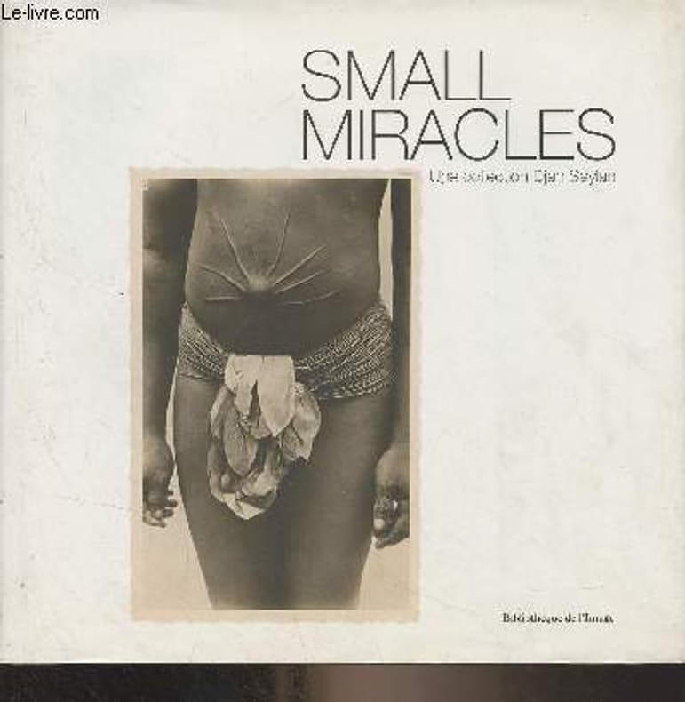
2014ref. R300323394Bibliothèque de l'image. 2014. In-8. Relié. Bon état, Couv. convenable, Dos satisfaisant, Intérieur frais. 187 pages - nombreuses photos en noir et blanc et en couleurs hors texte. Jaquette légèrement passée et déchirée en coiffe de pied.. Avec Jaquette. . . Classification Dewey : 741.68-Illustrations des cartes postales
1986No marks or inscriptions. No creasing to covers or to spine. A lovely clean very tight copy with bright unmarked covers and no bumping to corners. 256pp.
1764(København, 1764). Kobberstukket prospekt af Slangerup. (17x25 cm.). Fint frisk eksemplar trykt på skrivepapir.
1764(København, 1764). Kobberstukket prospekt af Slangerup. (17x24,5 cm.). Stukket af J. Haas. På skrivepapir. Lidt marginale brunpletter.
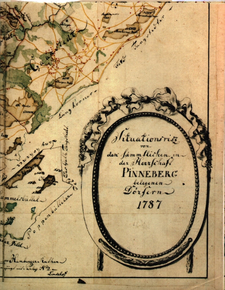
1758No place and date. (probably Denmark late 18th century). Handpainted map in ink and watercolour. 25 x 41 cm. In silver frame. Slightly foxed overall.
1764ref. 34546(København, 1764). Kobberstukket prospekt af Slangerup. (17x25 cm.). Fint frisk eksemplar trykt på skrivepapir.
1764ref. 53310(København, 1764). Kobberstukket prospekt af Slangerup. (17x24,5 cm.). Stukket af J. Haas. På skrivepapir. Lidt marginale brunpletter.
1758ref. 39179No place and date. (probably Denmark late 18th century). Handpainted map in ink and watercolour. 25 x 41 cm. In silver frame. Slightly foxed overall.
ref. 1851374078.Gmap. Good. Access codes and supplements are not guaranteed with used items. May be an ex-library book. unknown
2018ref. SBBI-mon0000059946Collins 2018. map. Good. Our good condition books are generally good for reading but not for gifting or collecting. They could have imperfections such as creasing fanning inscriptions margin notes yellowing staining on edge or cover or pages bumps scuffs etc etc sometimes multiple of these. It's a wide category that encompasses anything that isn't almost-new down to anything that is slightly better than poor. We would NOT recommend gifting Good books - these should be considered reading copies. Our books are dispatched from a Yorkshire former cotton mill. We list via barcode/ISBN so please note that the images are stock images and may not be the exact copy you receive furthermore the details about edition and year might not be accurate as many publishers reuse the same ISBN for multiple editions and as we simply scan a barcode or enter an ISBN we do not check the validity of the edition data when listing. If you're looking for an exact edition please don't order at least not without checking with us first although we don't always have time to check. We aim to dispatch prompty the service used will depend on order value and book size. We can ship to most countries see our shipping policies. Payment is via Abe only. Collins unknown
197536" x 25.5". Indicates 25 foot contours, water bodies, roads, rail lines, structures, etc. Light wear. Book
1902Outside dimensions 14.5" x 10.5". Circa 1902. Centerfold. Light wear. Bit of soiling along top edage. Please see our photo for details. Book
ref. 1334770395.Gpaperback. Good. Access codes and supplements are not guaranteed with used items. May be an ex-library book. paperback
1957ref. 74167brToronto: Macmillan 1957. Book. Near Fine. Hardcover. 1st Edition. 8vo - over 7¾ - 9¾" tall. Hardcover in dust jacket. Some fading and staining to jacket. Otherwise clean tight and unmarked. Very neat -- a sound and handsome copy. Maps. Note: bound without text on pp. 19-34 -- a scarce book offered nonetheless. xxviii277lacking19-34pp. Macmillan Hardcover
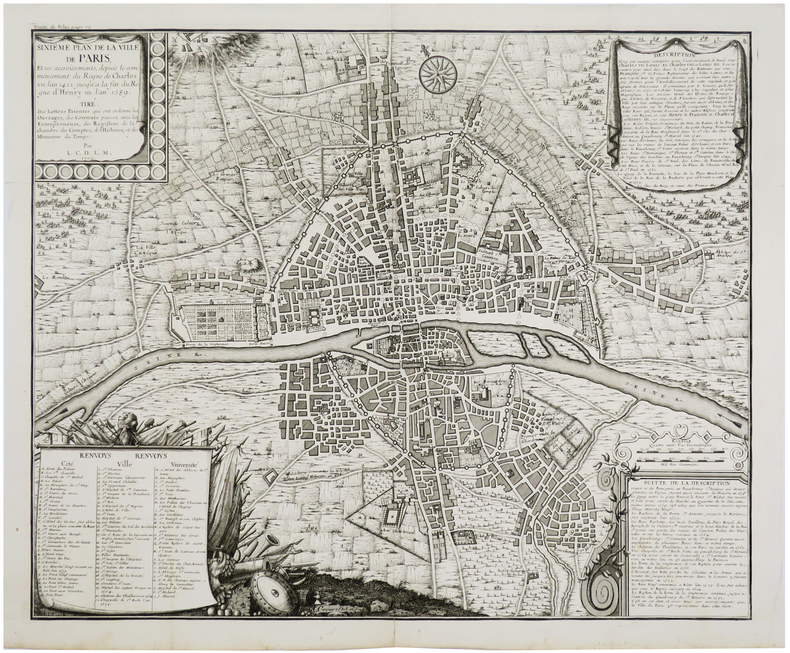
1720ref. LBW-5641[Paris, circa 1720]. 458 x 557 mm.
Engraved map, printed from two plates and assembled. Ca. 1065 x 390 mm (printed area ca. 1005 x 350 mm). Large and decorative map of the Holy Land, printed from two plate, from Christian van Adrichem's "Theatrum terrae sanctae et biblicarum historiarum". Van Adrichem's map is oriented toward the east and shows the twelve tribes of Israel on both sides of the River Jordan. The coastline runs from Sidon in Lebanon to Alexandria in Egypt, also showing part of the Red Sea. In the Mediterranean, off the coast, several ships and sea monsters are visible. On the Dead Sea are four burning cities: Sodom, Gomorrah, Zeboim, and Adama. - Folds smoothed and reinforced in places. A good, strong impression.
1985ref. 55437(Braunschweig, Archiv-Verlag), [ca. 1985]. 1 mehrfach gefalt. farb. Karte (Blattgröße 55 x 51 cm).
1988ref. 56129(Braunschweig, Archiv-Verlag), [ca. 1988]. 1 farb. mehrf. gefalt. Kte. Blattgröße 64 x 53 cm.