ROSSET J:Livre Rare Book
12.289 resultados
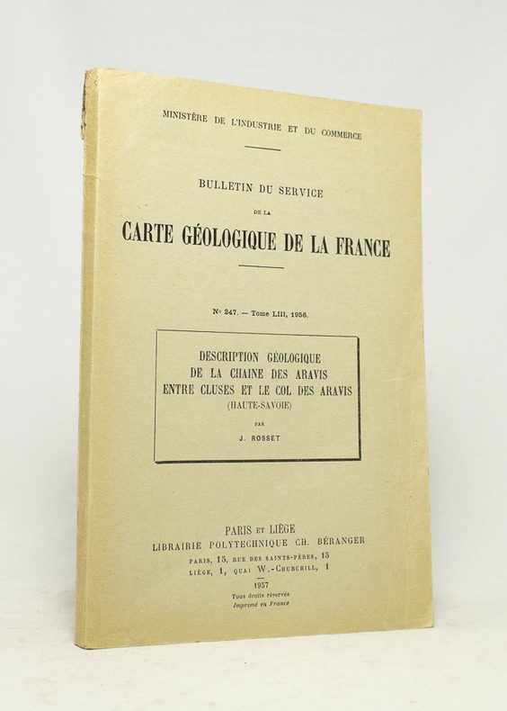
1957ref. 16744Paris et Liège, Librairie polytechnique Ch. Béranger, 1957. In-8 broché de 147 pages, couverture imprimée en noir (défraîchie).
Madrid, Dirección General del Instituto Geográfico y Catastral, 1949. 2ª edición. Mapa publicado por sectores (sector 146). Escala 1:50.000. 56x76 cms. Mapa entelado y plegado. Buen ejemplar.
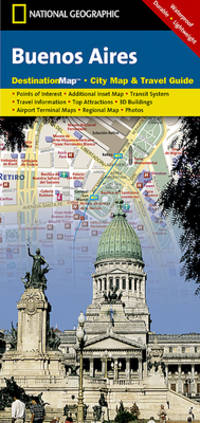
2012ref. SBBIH-AVWNH46DRPKANational Geographic Maps 2012. map. Good. Our good condition books are generally good for reading but not for gifting or collecting. They could have imperfections such as creasing fanning inscriptions margin notes yellowing staining on edge or cover or pages bumps scuffs etc etc sometimes multiple of these. It's a wide category that encompasses anything that isn't almost-new down to anything that is slightly better than poor. We would NOT recommend gifting Good books - these should be considered reading copies. Our books are dispatched from a Yorkshire former cotton mill. We list via barcode/ISBN so please note that the images are stock images and may not be the exact copy you receive furthermore the details about edition and year might not be accurate as many publishers reuse the same ISBN for multiple editions and as we simply scan a barcode or enter an ISBN we do not check the validity of the edition data when listing. If you're looking for an exact edition please don't order at least not without checking with us first although we don't always have time to check. We aim to dispatch prompty the service used will depend on order value and book size. We can ship to most countries see our shipping policies. Payment is via Abe only. National Geographic Maps unknown
ref. 23826Carte de voeux en triptyque par le dessinateur espagnol.
2003No marks or inscriptions. No creasing to covers or to spine. A lovely clean crisp tight copy with bright covers and no bumping to corners. 192pp. The book comes with a free CD in a wallet attached to the rear cover, which is packed with practical travel tips - from hotels and eating out to foreign exchange and booking information.
1908Carte politique et économique publiée par la Mission brésilienne d'Expansion économique, échelle au 1 : 5 000 000, 1 carte format 83,5 x 90 cm, Aillaud & Cie, s.d. [ circa 1908 ] Belle carte politique et économique du Brésil à l'aube de la Première Guerre Mondiale. Bon état (qq. très petits frott., très bon état par ailleurs). Français
1837ref. 15830Paris, Firmin Didot frères, 1837. In-8 de [4]-384-[2] et 32 pages, demi-veau glacé prune, dos à nerfs orné de filets dorés, tomaison de la collection au dos.
1992ref. 107863Fayard 1992 In-8 broché 23 cm sur 15. 264 pages. Très bon état d’occasion.
1908ref. 59450Carte politique et économique publiée par la Mission brésilienne d'Expansion économique, échelle au 1 : 5 000 000, 1 carte format 83,5 x 90 cm, Aillaud & Cie, s.d. [ circa 1908 ]
19371 feuille repli?e 109,5 x 50 cm.
19361 feuille repli?e 109,5 x 50 cm.
1958Collection " Les Guides Bleus illustrés " . Excursions , nombreux plans de voyage et de villes en noir et blanc . Index . Complet de sa grande carte dépliante en fin d'ouvrage .- 112 p. + plans , 300 gr.
2014ref. SBBI-mon0000123366PopOut Maps 2014. map. Good. Our good condition books are generally good for reading but not for gifting or collecting. They could have imperfections such as creasing fanning inscriptions margin notes yellowing staining on edge or cover or pages bumps scuffs etc etc sometimes multiple of these. It's a wide category that encompasses anything that isn't almost-new down to anything that is slightly better than poor. We would NOT recommend gifting Good books - these should be considered reading copies. Our books are dispatched from a Yorkshire former cotton mill. We list via barcode/ISBN so please note that the images are stock images and may not be the exact copy you receive furthermore the details about edition and year might not be accurate as many publishers reuse the same ISBN for multiple editions and as we simply scan a barcode or enter an ISBN we do not check the validity of the edition data when listing. If you're looking for an exact edition please don't order at least not without checking with us first although we don't always have time to check. We aim to dispatch prompty the service used will depend on order value and book size. We can ship to most countries see our shipping policies. Payment is via Abe only. PopOut Maps unknown
ref. GOR006768433Paperback. Very Good. paperback
ref. 1845878698.Gmap. Good. Access codes and supplements are not guaranteed with used items. May be an ex-library book. unknown
1936Plan 50x65 cm. Repli?.
ref. K42085Brunn:München.0. 13 Seiten.19 cm x 12 cm. Originalbroschur
1958ref. 015274Paris Librairie Hachette 1958 In 16 Collection " Les Guides Bleus illustrés " . Excursions , nombreux plans de voyage et de villes en noir et blanc . Index . Complet de sa grande carte dépliante en fin d'ouvrage .- 112 p. + plans , 300 gr.
1979ref. 0191081979 Gemeentekrediet Soft cover Signed by Author(s)
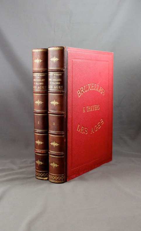
ref. 2063Bruxelles, Bruylant-Christophe et Cie, sans date. 2 volumes in-4 de 484 + 466 pages, demi-maroquin marron, dos à nerfs ornés, plats frappés du titre en lettres dorées et encadrés à froid, tranches dorées. Mors 1er plat vol. 1 légèrement fendu et frotté, accroc à la coiffe inf. vol. 1, mors 1er plat vol. 2 légèrement fendu et frotté.
ref. 18102, Brussel, Gemeentekrediet, 1979 , Ingenaaid, In-4, 192 pp., talrijke ills. in zw/w en in kleur, goede staat. ISBN X.
1980ref. 3562N.p. probably Brownsville Tx 1980. Very good. Blue-line map 42 x 62 inches. Uneven toning minor overall wear. A large-format plat map of the Texas border town of Brownsville likely created in the early 1980s. The date is based on the appearance of the Sunrise Mall which opened its doors in 1979 and the name of the airport which was changed in 1983; as such the present map was printed sometime between those two dates. The present map shows the original city parcel as well as many other notable modern developments including the Airport Industrial Park the Fourteenth Street Commercial Plaza and the Amigoland Theme Park the latter of which was never built. The Rio Grande can be seen winding its way through the bottom portion of the map. We locate no other copies of this map anywhere. It was likely produced for local developers and as such is quite rare. An ideal decorative Texas map. unknown books
1980ref. 3562N.p. probably Brownsville Tx 1980. Very good. Blue-line map 42 x 62 inches. Uneven toning minor overall wear. A large-format plat map of the Texas border town of Brownsville likely created in the early 1980s. The date is based on the appearance of the Sunrise Mall which opened its doors in 1979 and the name of the airport which was changed in 1983; as such the present map was printed sometime between those two dates. The present map shows the original city parcel as well as many other notable modern developments including the Airport Industrial Park the Fourteenth Street Commercial Plaza and the Amigoland Theme Park the latter of which was never built. The Rio Grande can be seen winding its way through the bottom portion of the map. We locate no other copies of this map anywhere. It was likely produced for local developers and as such is quite rare. An ideal decorative Texas map. unknown
Madrid, Dirección General del Instituto Geográfico y Catastral, 1950. 2ª edición. Mapa publicado por sectores (sector 178). Escala 1:50.000. 56x76 cms. Mapa entelado y plegado. Buen ejemplar.
1910ref. RO30010638inconnu. 1910. In-12. Broché. Bon état, Couv. convenable, Dos satisfaisant, Intérieur frais. Non paginé. Illustrations couleur se dépliant en accordéon, à l'intérieur d'une enveloppe illustrée en couleurs, au format carte postale. Inscriptions sur le devant de l'enveloppe: adresse de l'ancien propriétaire inscrite.. . . . Classification Dewey : 741.68-Illustrations des cartes postales