DEROY;Livre Rare Book
12.595 resultados
ref. LBW03d57Paris Benard circa 1850 231 x 298 mm.
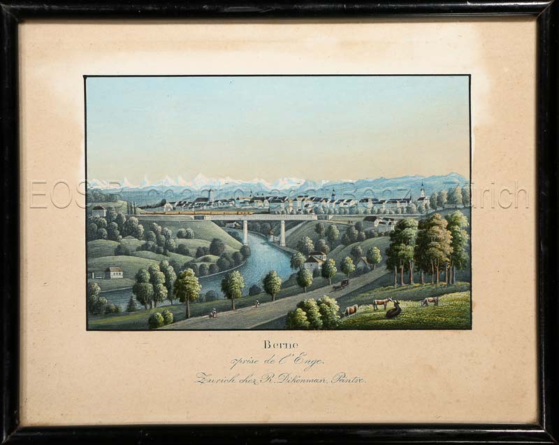
1857ref. 595BGZürich, chez R. Dikenman, Peintre, um 1857. Kol. Aquatinta. Bildgrösse: 7,5 x 11,2 cm. Blattgrösse: 13 x 16 cm. + Wichtig: Für unsere Kunden in der EU erfolgt der Versand alle 14 Tage verzollt ab Deutschland / Postbank-Konto in Deutschland vorhanden +, Bild
1912ref. 107028BBBerlin, Otto v. Holten, 1912. 4°. [2] w. Bl., [7] Bl., 199 S., [1] Bl.; [2] w. Bl., [5] Bl., 183 S., [1] Bl. mit Titel in Rot und Schwarz und 113 teils montierten Abbildungen und 1 Holzschnitt, 6 Radierungen, 12 Lithographien und 1 Prägedruck nach Hans Baluschek, Franz v. Bayros, Ludwig Burger, Daniel Chodowiecki, Fidus, Max Klinger, Max Liebermann, Adolph Menzel, Max Slevogt u. a. Orig.-Halbpergamentbände mit goldgepr. Rückentiteln und Rückenvergoldung (Entwurf: E. Doepler). 2 Bände.
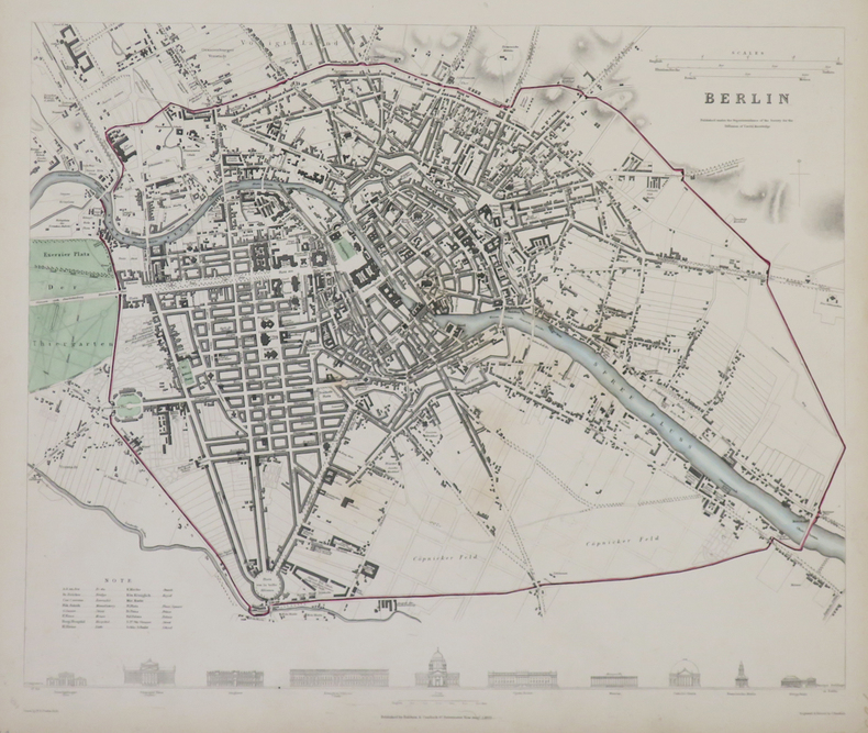
1833ref. LBW-4317Londres, Baldwin & Cradock, 1833. 310 x 365 mm.
1983ref. 81038Berlin, Kunstamt Wilmersdorf 1983. Mit zahlr. überwieg. farb. Karten und Plänen. Unpag. Folio. OHLwd.
ref. 0404IPI89DJHardcover. Very Good. Very good red cloth flexi boards Karl Baedeker Leipzig 1923 . Small 8vo. Sixth Edition with a folding double-page map as frontispiece a double-page coloured map 9 folding coloured maps one large map poorly folded but without loss 13 folding plans and numerous plans in the text series catalogue and small contemporary signature on front endpapers rear endpaper map; original grained red cloth upper board lettered in gilt gilt back marbled edges silk marker. Binding remarkably good brief edgewear only. hardcover
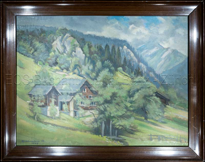
1947ref. 811CG1947. Oel auf Leinwand. Bildausschnitt: 37 x 49 cm. + Wichtig: Für unsere Kunden in der EU erfolgt der Versand alle 14 Tage verzollt ab Deutschland / Postbank-Konto in Deutschland vorhanden +, Abb.
1947ref. 811CG1947. Oel auf Leinwand. Bildausschnitt: 37 x 49 cm.
ref. 5779Carte couleur de type État-Major, avec répertoire des localités, Jules Rueff éditeur, Paris, SD
1787Kiöbenhavn, Thiele, 1787. 4to. Originale blåmarmorerede omslag. Stempel på titelbladet. 16 pp., 4 kobberstukne plancher (3 foldede med landtoninger samt et kort). Rent velbevaret eksemplar på skrivepapir.
1787ref. 56969Kiöbenhavn, Thiele, 1787. 4to. Originale blåmarmorerede omslag. Stempel på titelbladet. 16 pp., 4 kobberstukne plancher (3 foldede med landtoninger samt et kort). Rent velbevaret eksemplar på skrivepapir.
ref. 12791A Berck, Association du Musée de la Bibliothèque, 1979 - In-4°, broché, couverture ill, 142 pages, un peu plus plus de 280 reproductions de cartes postales en taille quasi réele, bon exemplaire - plats un peu malmenés tout de même et un peu salis au verso , la pagination étant en bon état ( non épidermé).
ref. 69650, Europese Bibliotheek / Het Laatste Nieuws, 1974 Softcover, pagina's niet genummerd, 14.5 x 20 cm, NL. *Goede staat.
39 x 51 cm. (Blatt: 48 x 54 cm). *Zeigt das Gebiet von Bentheim, die Stadt Bentheim auf der Kartenmitte. Flächig koloriert. Links mit leicht gebräunten Feuchtigkeitsrand. Landkarten de
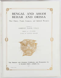
1917ref. 214418London and New York.: The Foreign and Colonial Compiling and Publishing Co. 1917. Numerous black and white photographic illustrations 768pp. 30 x 23.5cm. Full red morocco binding spine lettered and ruled in gilt in compartments 'Tiger head' emblematical device stamped in gilt on the upper board repeated in gilt on the title page corner ornaments blocked in gilt. All edges gilt marbled endpapers light rubbing to corners but a lavishly produced edition in exceptional condition. One of a series of publications published with the object of supplying the British public with a picture - complete as far as literary and pictorial effort could make it - of the several different parts of the Empire. in this instance Northern India. . The Foreign and Colonial Compiling and Publishing Co. unknown
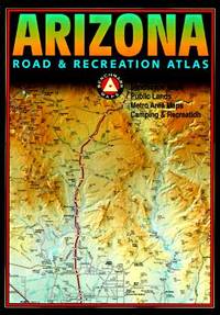
ref. 0929591690.Gpaperback. Good. Access codes and supplements are not guaranteed with used items. May be an ex-library book. paperback
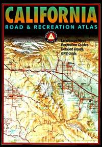
ref. Q-0929591437Map Link. Mass Market Paperback. New. In shrink wrap. Looks like an interesting title! Map Link paperback
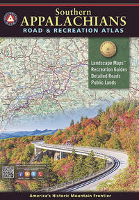
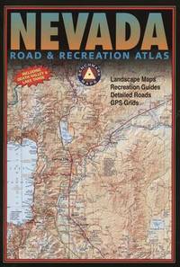
2020ref. 1-1734315008Benchmark Maps 2020. Paperback. New. 143 pages. 15.75x11.00x0.50 inches. Benchmark Maps paperback
ref. 092959195X.Gpaperback. Good. Access codes and supplements are not guaranteed with used items. May be an ex-library book. paperback
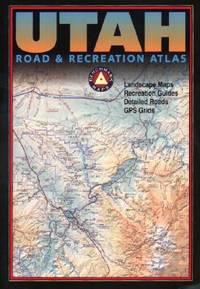
2002ref. Q-0929591313Rand McNally & Company 2002-04-15. Paperback. New. In shrink wrap. Looks like an interesting title! Rand McNally & Company paperback
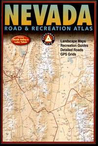
2003ref. Q-092959181XBenchmark Maps 2003-06-01. Paperback. New. In shrink wrap. Looks like an interesting title! Benchmark Maps paperback
2004ref. Q-092959150xBenchmark Maps 2004-01-01. Paperback. New. In shrink wrap. Looks like an interesting title! Benchmark Maps paperback
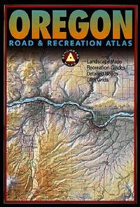
2013ref. Q-0929591976Benchmark Maps Firm 2013-01-01. Paperback. New. In shrink wrap. Looks like an interesting title! Benchmark Maps (Firm) paperback
ref. SONG092959181XBrand: Benchmark Maps 0000-00-00. paperback. Used: Good. 11.00x0.25x15.75. Buy with confidence. Excellent Customer Service & Return policy. Brand: Benchmark Maps paperback
2002ref. Q-0929591747Benchmark Maps 2002-06-01. Paperback. New. In shrink wrap. Looks like an interesting title! Benchmark Maps paperback