Stuart Allan; Benchmark MapsBiblio.com
12.514 resultados
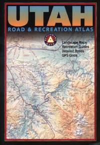
2002ref. Q-0929591747Benchmark Maps 2002-06-01. Paperback. New. In shrink wrap. Looks like an interesting title! Benchmark Maps paperback
ref. 1851374027.Gmap. Good. Access codes and supplements are not guaranteed with used items. May be an ex-library book. unknown
ref. R100037823Non Renseigné. Non daté. In-12. Broché. Bon état, Couv. convenable, Dos satisfaisant, Intérieur frais. Bon état. . . . Classification : 270-Cartes Postales Illustrateurs
ref. R100037822Non Renseigné. Non daté. In-12. Broché. Bon état, Couv. convenable, Dos satisfaisant, Intérieur frais. Bon état. . . . Classification : 270-Cartes Postales Illustrateurs
ref. R100037821Non Renseigné. Non daté. In-12. Broché. Bon état, Couv. convenable, Dos satisfaisant, Intérieur frais. Manque le timbre décollé (raison de la taxe ?). Bon état. . . . Classification : 270-Cartes Postales Illustrateurs
ref. R100037729Non Renseigné. Non daté. In-12. Broché. Bon état, Couv. convenable, Dos satisfaisant, Intérieur frais. Boné tat. . . . Classification : 270-Cartes Postales Illustrateurs
ref. R100037730Non Renseigné. Non daté. In-12. Broché. Bon état, Couv. convenable, Dos satisfaisant, Intérieur frais. Tachée au dos. Bon état. . . . Classification : 270-Cartes Postales Illustrateurs
ref. R100037824Non Renseigné. Non daté. In-12. Broché. Bon état, Couv. convenable, Dos satisfaisant, Intérieur frais. Un peu tachée au dos. . . . Classification : 270-Cartes Postales Illustrateurs
1994432 pages including index. All towns and highways described in detail mile-by-mile. Accommodations. Campgrounds. Emergency Services. Ferry Information. City maps. Alaska Railroad. Local History. What to see and do. Underlining and marginalia upon several pages. Very light wear. Attractive colour glossy covers. Please note: fold-out map not included. Book
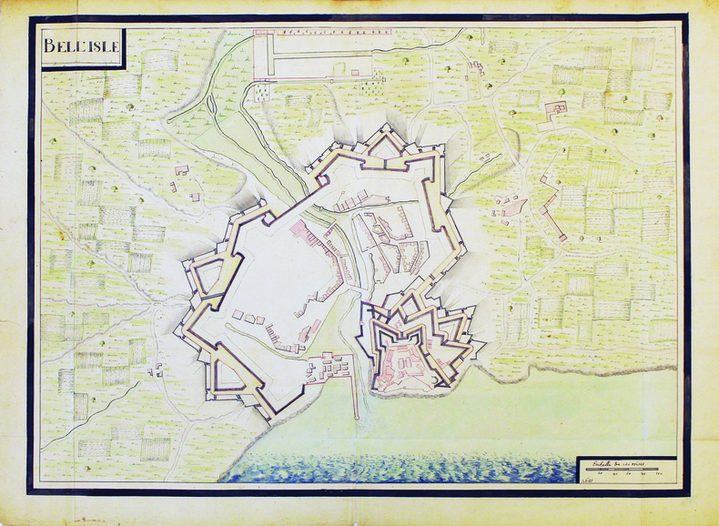
1700ref. LBW-4187[circa 1700]. 480 x 660 mm.
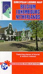
1999ref. SBBIH-Q45L7AEDAEOEEstate Publications 1999. map. Good. Our good condition books are generally good for reading but not for gifting or collecting. They could have imperfections such as creasing fanning inscriptions margin notes yellowing staining on edge or cover or pages bumps scuffs etc etc sometimes multiple of these. It's a wide category that encompasses anything that isn't almost-new down to anything that is slightly better than poor. We would NOT recommend gifting Good books - these should be considered reading copies. Our books are dispatched from a Yorkshire former cotton mill. We list via barcode/ISBN so please note that the images are stock images and may not be the exact copy you receive furthermore the details about edition and year might not be accurate as many publishers reuse the same ISBN for multiple editions and as we simply scan a barcode or enter an ISBN we do not check the validity of the edition data when listing. If you're looking for an exact edition please don't order at least not without checking with us first although we don't always have time to check. We aim to dispatch prompty the service used will depend on order value and book size. We can ship to most countries see our shipping policies. Payment is via Abe only. Estate Publications unknown
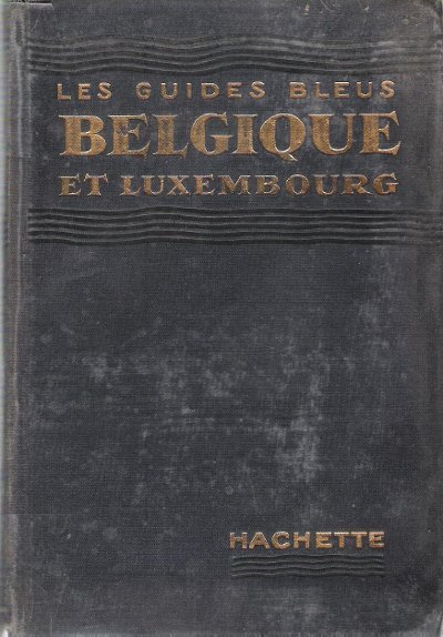
1935Collection " Les Guides Bleus " . Excursions , nombreux plans de voyage et de villes en couleurs et noir et blanc , certains dépliants . Complet de sa carte dépliante en fin d'ouvrage . Index .- 444 p. + plans , 550 gr.
1935ref. 015271Paris Librairie Hachette 1935 In 16 Collection " Les Guides Bleus " . Excursions , nombreux plans de voyage et de villes en couleurs et noir et blanc , certains dépliants . Complet de sa carte dépliante en fin d'ouvrage . Index .- 444 p. + plans , 550 gr.
1894Collection " Des Guides-Joanne " avec 15 plans et 7 cartes en couleurs dont certaines dépliantes . Nombreuses publicités , notamment d'hôtels mais aussi de Michelin , de chocolat Menier etc .- 312 p. + 118 p. , 550 gr.
Blattgröße ca. 30 x 25 cm. Leicht gebräunt, insgesamt gut erhalten. Landkarten de
1915ref. 015456Antwerpen: Willem Seghers Litho-Grav. 1915. Map. Good. Unframed. First Edition. 120x86cm. A substantial map 120 x 86cm colour printed in two halves and joined on the back. A few edge tears and a few splits to the central folds a couple of splits repaired to the verso with paper tape several light creases. A good copy. Seemingly scarce. Willem Seghers, Litho-Grav. unknown
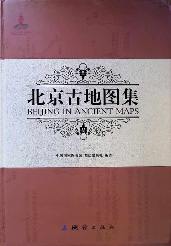
2010ref. 030215Beijing 2010 National Library of China & Surveying and Mapping Press Hardcover 1st Edition
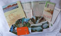
1970ref. 223347Beijing. 1970s. Collection of six items. Two postcard sets by the Peking Post Office: 北京风光 Bei jing feng guang: 8 postcards. 北京风景 Bei jing feng jing: 9 postcards. Both in original envelope 8 x 15cm. Two copies of the large colour folding map "北京游览图 Beijing Youlantu" showing with detailed maps of major tourist destinations and bus routes in Beijing. Text in simplified Chinese characters 73 x 51cm folded 18 x 12.5cm. One in original paper case. A trifold brochure with colour map of Beijing text in English 25 x 12cm. "Visitors Guide to Peking" booklet in stapled wrappers folding maps one at rear and another loosely inserted 43pp 23.5 x 10.5cm. Prepared by members of the Australian Embassy for Australian tourists in Beijing. Some minor wear at extremities overall in very good condition. . unknown
1918pp. xix, 403 + Plus portrait frontis, photographs and maps. Inked ownership of Julia B. Martingale, Dec. 11, 1928. Inner hinges cracked. 8vo. Original full black cloth binding, worn. Eighth edition. Poor copy. Virulent but readable anti-German propaganda based on travels throughout Germany with interviews of people from all walks of life. Includes chapters on: Zeppelins; the Navy and its tactics; Spies; etc. WWI 5
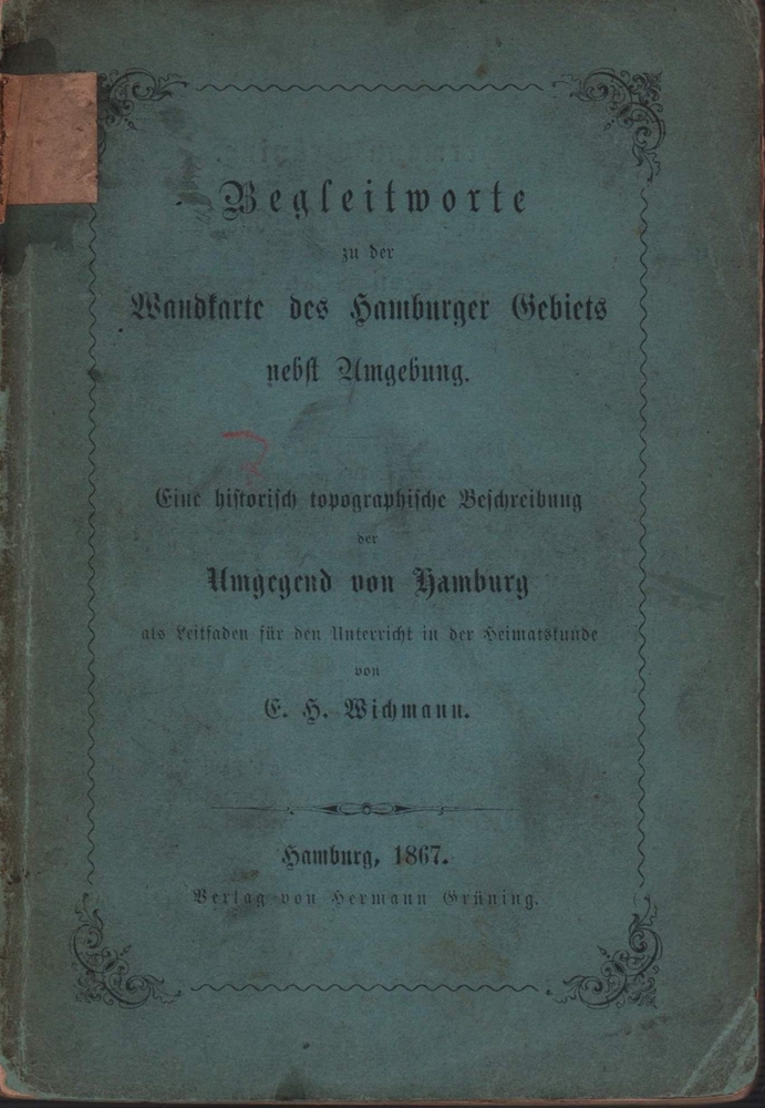
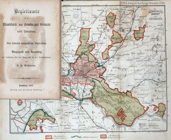
1867ref. 91409Hamburg, Hermann Grüning, 1867. 144 S. Kl.-8vo. 16,5 cm. OBrosch.
1867ref. 56770Hamburg, Hermann Grüning, 1867. 144 S. Kl.-8vo. 17 cm. Spät. HLn. mit neuen Vorsatzbll.
2007Appears unread. No marks or inscriptions. No creasing to covers or to spine. A very clean very tight copy with bright unmarked boards and no bumping to corners. 384pp. Great accomodation in over 500 UK real ale pubs.
2003ref. Q-0750654414Butterworth-Heinemann 2003-04-30. Paperback. New. New. In shrink wrap. Looks like an interesting title! Butterworth-Heinemann paperback
38 x 50 cm. (Blattgröße: 52 x 61 cm. *Detailkarte der Normandie / Picardie. - Sauber und sehr gut erhalten. Landkarten de