12.535 resultados
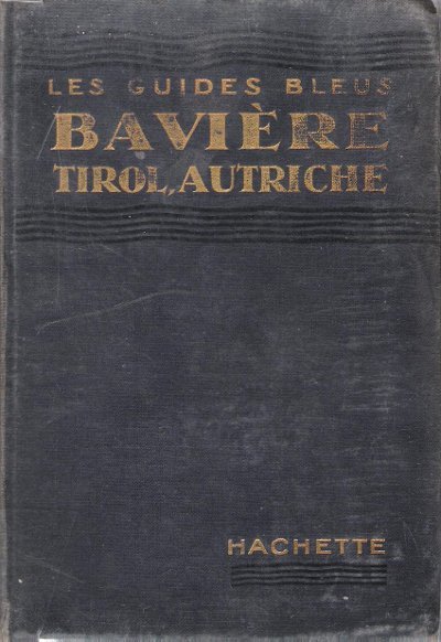
1939ref. 150221Couverture souple. Broché. 414 pages. Couverture défraîchie. L'intérieur est parfait.
Format (Bildbereich): 19 x 26,5 cm. Leicht gebräunt, insgesamt gut erhalten. Landkarten de
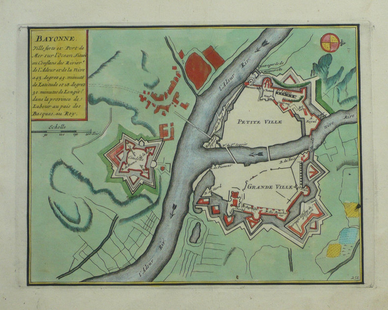
1702ref. LBW-1321Amsterdam Pierre Mortier 1702 215 x 276 mm.
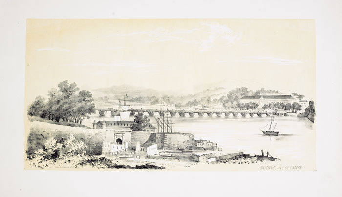
1843ref. LBW-652Toulouse 1843 230 x 440 mm.
1914Collection " Les Guides Bleus " . Excursions , nombreux plans de voyage et de villes en couleurs et noir et blanc . Index . Avec 38 plans et 15 cartes .- 520 p. + plans , 550 gr.
1914ref. 015270Paris Librairie Hachette 1914 In 16 Collection " Les Guides Bleus " . Excursions , nombreux plans de voyage et de villes en couleurs et noir et blanc . Index . Avec 38 plans et 15 cartes .- 520 p. + plans , 550 gr.
2012ref. 1-1597754285Natl Geographic Society Maps 2012. Paperback. New. lam map edition. 2 pages. 25.00x2.00x1.60 inches. Natl Geographic Society Maps paperback
2012ref. 1-1597750026Natl Geographic Society Maps 2012. Map. New. lam map edition. 1 pages. 24.75x2.00x2.00 inches. Natl Geographic Society Maps unknown
1992Book is in excellent condition, as new with bright red covers, white print at spine, map endpapers. Binding is solid and square, covers have sharp corners, exterior shows no blemishes, text/interior is clean and free of marking of any kind. Heavily illustrated throughout with architectural drawings, floorplans, maps, interiors, exteriors, landscape maps, b&w photos of elevations, facades, ruins, details, etc. Dust jacket shows the slightest signs of shelf wear only, no tears. Contents include: Greek gymnasium and the Greek bath, Bathing and baths in the Roman wold, Origins and early development of Roman baths, Thero-mineral baths, Thermae of Rome, Baths of North Africa, Baths and gymnasia in Asia Minor, Baths and bathing in the late antique and early Byzantine world, with four appendices, notes, etc. 501 pages. copyright Pistil Books, 2011
Published in 1970s, maps. eng
2022ref. BN348216PopOut Maps 2022. 2022. Bath PopOut Map PopOut Maps Bath PopOut Map PopOut Maps Maps PopOut PopOut Maps unknown
ref. 66103CBo.J. [4 Warenabbildungen] (Gottlieb Friedrich Abel, geb. 03.06.1763 in Stuttgart, gest. 16.05.1820 ebenda, deutscher Kupferstecher und Botaniker.
ref. SLIVCN-3760174130015BETULA
1971Broch?. 119 cartes 21x30 cm.
1964ref. 2083002116200859Engineering Maps KK Saichi Nonoyama 1964. Soft Cover. Fine. The book is in fine condition. Engineering Maps KK Saichi Nonoyama paperback
1952Feuille repli?e.
1703ref. LBW02524Paris chez l'autheur 1703 417 x 560 mm.
Undated, closed tears to map. eng
1937Folded cloth map, some fraying and foxing to edges. eng
No date, folded cloth map, some fraying and foxing to edges. eng
Undated (1930s), map mounted on cloth, some light foxing, dusty covers. eng
1957No date, folded cloth map, some foxing to edges. eng
12 mo, a folded map. Inscription is dated 1948. Detailed map of The Humber region. eng
19218vo., folding coloured map on cloth measuring 34.5 x 29 inches (approx. 88 x 74 cms) folding in 24 panels to 9.5 inches (approx. 23 x 13 cms); wrappers lettered in red and black, certain folds neatly reinforced, some mild age-soiling and rubbing else a very good, bright, clean copy. VERY SCARCE IN THIS CONDITION.
1955No marks or inscriptions. Two secitions slightly sunned. A little tearing along most exposed vertical fold. Some exposure of the linen but still intact along some other folds. 1pp. Folded linen-backed vintage map of Cork and Killarney opens up to 23 x 33 inches. Undated ca 1950s. Compass north bearing date 1948.