12.535 resultados
1955No marks or inscriptions. A little very slightl sunning. Intact map with no tears. 1pp. Folded linen-backed vintage map of Galway and Mayo opens up to 23 x 33 inches. Undated ca 1950s. Compass north bearing date 1951.
Undated, paper map with some tape repairs. eng
Undated, map mounted on cloth, some fraying at edges. eng
Undated, map mounted on cloth. eng
ref. 68-0786Sydney Australia: Reg Grundy Productions 1974. Lithograph Poster. 40" x 20.5" Folded Poster Good with some minor tears at edges. [Sydney], Australia: Reg Grundy Productions, 1974. unknown
1764(København, 1764). Kobberstukket prospekt af palæet med omgivende ejendomme. (17x24,5 cm.). Stukket af J. Haas. På skrivepapir. Lidt marginale brunpletter.
1960Folding street plan in red and black on paper, measuring 25.0 x 20.0 ins (approx. 63.5 x 51.0 cms) folding in 16 panels to 9.0 x 5.5 ins (approx. 23.0 x 14.0 cms); original printed wrappers in orange and black, yapped edges, covers very lightly age-soiled else a very good, bright, clean copy. With numerous trade advertisements.
1960Folding street plan in red and black on paper, measuring 25. 0 x 20.0 ins (approx. 63.5 x 51.0 cms) folding in 16 panels to 9.0 x 5.5 ins (approx. 23.0 x 14.0 cms); original printed wrappers in orange and black, yapped edges, covers very lightly age-soiled else a very good, bright, clean copy. With numerous trade advertisements.
1690Rarissima veduta panoramica della città da Monte Mario, edita a Francoforte da Johann Azelt verso la fine del XVII secolo. "In questa stampa gli edifici sono ben poco riconoscibili ed il Tevere segue un errato percorso sotto Trinità dei Monti, riproponendo un errore comune a molti panorami di quest'epoca editi nel nord Europa ed evidentemente copiati uno dall'altro.. Il prototipo iniziale per questa tipologia di panorami è identificabile nel panorama inciso da Israel Silvestre nel 1642" (cfr. Marigliani p. 199). Incisione in rame, in perfetto stato di conservazione. Rarissima. A very rare panoramic view of the city from Monte Mario, published in Frankfurt by Johann Azelt towards the end of the 17th century. In this print the buildings are hardly recognisable and the Tiber follows a wrong path under Trinità dei Monti, repeating an error common to many panoramas of this period published in northern Europe and evidently copied from one another. The initial prototype for this type of panorama can be identified in the panorama engraved by Israel Silvestre in 1642"(cf. Marigliani p. 199). Copper engraving, in perfect condition. Very rare. Marigliani, "Le Piante di Roma nelle collezioni private" p. 199, 104 (erroneamente attibuita).
Madrid, 1862. Un mapa de 84 x 111 cm., plegado a 21 x 14 cm., coloreado, con planos particulares de Barcelona; Contornos de Barcelona;. Manresa; Vich, y Mataró. Encuadernación original en cartoné y media tela.
Undated, colour map. eng
1940ref. 3841BUm 1940. 15 x 10,5 cm.
1764ref. 53305(København, 1764). Kobberstukket prospekt af palæet med omgivende ejendomme. (17x24,5 cm.). Stukket af J. Haas. På skrivepapir. Lidt marginale brunpletter.
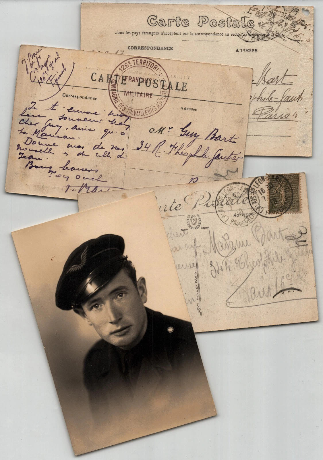
1918ref. 920060113147Ensemble de trois cartes postales autographes et d'une photographie, adresses a Guy Bart et a Madame Bart, 34 rue Theophile-Gautier a Paris. La premiere carte est datee du 30 septembre 1917. Les deux autres ne sont pas datees et relevent de la periode de la Grande Guerre d'apres les cachets. Redigees a l'encre brune, a l'encre violette et au crayon sur cartes postales illustrees : Le Mans, 31e Regiment d'Artillerie ; Epinal, Casernes de la Madeleine ; Calais, Le Theatre. L'une porte le cachet 126e Territorial - Compagnie des Travailleurs Agricoles - Franchise Militaire et l'autre un timbre Semeuse avec cachet de Calais. On joint un portrait photographique d'atelier d'un jeune homme en calot a insigne aile. Ces cartes donnent des nouvelles familiales : un soldat ecrit de sa caserne du Mans, un territorial d'une compagnie agricole d'Epinal demande des nouvelles des siens, et une voyageuse annonce son arrivee. Dimensions : 13,9 x 8,9 cm. Etat : Bon etat general.
ref. LBW03d58Paris Benard circa 1850 222 x 295 mm.
1983pp. xiii, 310 + Plus 25 photographs and a large folding map. Map slightly foxed. Endpapers foxed. Small 4to. Original full green paper binding, some wear. Hardbound. Very scarce. **PRICE JUST REDUCED! INDIA BOX 1
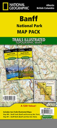
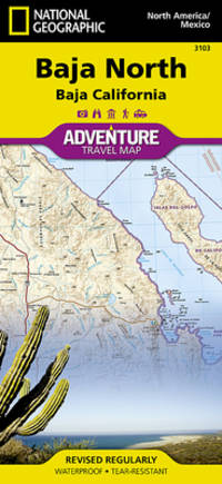
2001ref. ANAIS-1566957389Natl Geographic Society Maps 2020-01-01. 2020. map. Good. 9.5X6.5X1.5. Buy with confidence. Excellent Customer Service & Return policy. Natl Geographic Society Maps unknown
2001ref. SONG1566957389National Geographic 2020-01-01. 2020. map. Used: Good. 4.25x0.20x9.25. Buy with confidence. Excellent Customer Service & Return policy. National Geographic unknown
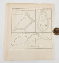
1774ref. 174260A Paris.: Chez Saillant et Nyon rue Saint-Jean-de-Beauvais Chez Panckoucke Hotel de Thou rue des Poitevins. 1774. Engraved map on laid paper 27.2 x 19.9cm 26.5 x 22.2cm sheet size edge fold slight marginal toning but in very good condition. Map of the treacherous coastal waters sandbars submerged rocks and reefs surrounding Mindanao and the Joseph Freewill Islands Mapia Atoll in the Philippines finely re-engraved for the French edition of Captain James Cook's First Voyage 1768-1771 "Relation des voyages.pour faire des decouvertes dans l'hemisphere meridional et successivement executes par le commodore Byron le capitaine Carteret le capitaine Wallis & le capitaine Cook.". . Chez Saillant et Nyon, rue Saint-Jean-de-Beauvais, [Chez] Panckoucke, Hotel de Thou, rue des Poitevins. unknown
ref. SLIVCN-3760024991933MINUS EDITIONS
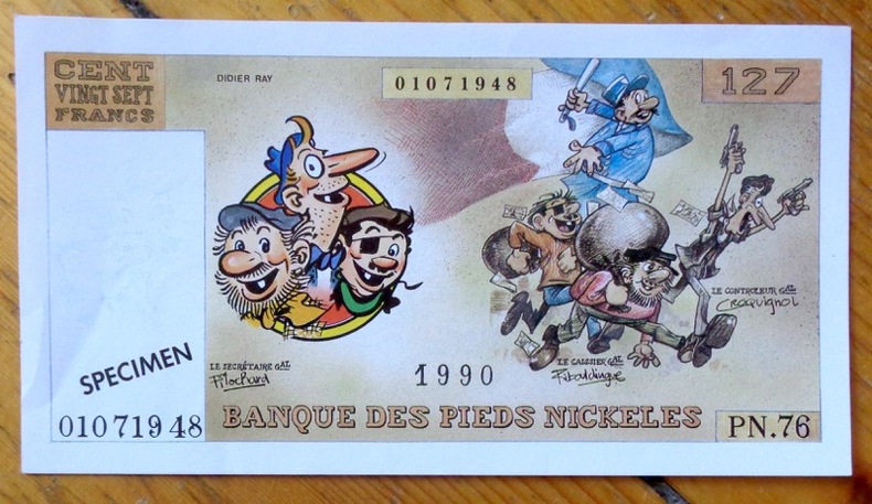
ref. 8571Editions Vent d'Ouest. Faux billet de banque, publié à l'occasion de l'intégrale chez Vent d'Ouest.
ref. 12894Dakota Editions -Coll les plus beaux Sites Naturels, 2000 - In-8, broché, solide vade-mecum couverture souple ill , Carte à pleine page couleurs légendée en manière de frontispice, 128 pages dont index in fine le haut de la pagination est munie donglets de couleurs délimitant les régions, très exhaustive et agréables iconographie en couleurs et en charmantes vignettes dans le texte dessinées par Jean Chevalier et bien rendues sur un papier de haut grammage Bel ensemble, dans un visuel dynamique et agréable.
ref. dz762Le Cercle Cartophile de Ham et sa région Broché In-4 (21 x 29,7 cm), broché, 128 pages, illustrations en noir et blanc et couleurs ; traces sur le quatrième plat, par ailleurs bon état général. Livraison a domicile (La Poste) ou en Mondial Relay sur simple demande.
ref. Q-1566952433Natl Geographic Society Maps 2019-01-01. Map. New. In shrink wrap. Looks like an interesting title! Natl Geographic Society Maps unknown
1835ref. 624DGZürich, F. Sal Füssly successeur de Keller et Füssly, um 1835. Aquatinta von Lukas Weber (1811-1860). Bildgrösse: 17,2 x 25,2 cm. Blattgrösse: 22,4 x 29,6 cm. + Wichtig: Für unsere Kunden in der EU erfolgt der Versand alle 14 Tage verzollt ab Deutschland / Postbank-Konto in Deutschland vorhanden +, Abb.