Corrodi, Salomon (1810-1892):Livre Rare Book
12.535 resultados
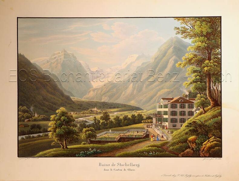
1835ref. 624DGZürich, F. Sal Füssly successeur de Keller et Füssly, um 1835. Aquatinta von Lukas Weber (1811-1860). Bildgrösse: 17,2 x 25,2 cm. Blattgrösse: 22,4 x 29,6 cm.
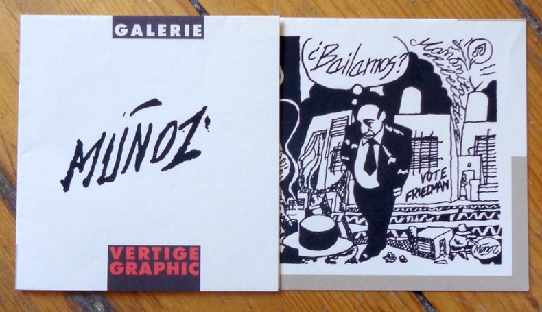
1996ref. 9046Vertige Graphic, 1996. Flyer d'invitation au vernissage de l'exposition" José Munoz - Bailamos ? - Un regard sur le tango", à l'occasion de la Fête de la musique 1996. Format A4, plié en 4.
1659ref. 122141659 Limites aquarellées. 1 carte gravée sur cuivre, 43 x 53 cms. P. Sanson 1659
ref. 3906593363.Gmap. Good. Access codes and supplements are not guaranteed with used items. May be an ex-library book. unknown
2014Fine English Paperback. Roy. 8vo. (23 x 14 cm). In English. 29 p., color ills., a huge map (not opened). Baghdad [Archeological city guide with huge city map]. Foreword by Isa Salman (Director General of Antiquities). Very detailed modern guide including architectural works in Baghdad: Historical shrines, mausoleums and mosques, churches, monuments, etc.
1982"The ultimate personal tour guide.More than 200 color photographs and detailed maps" Vintage but comprehensive, well illustrated guide to modern Greece for visitors. 290p.. illus (col) maps. index. NOTE : This copy is missing the fold-out map Book
1982"The ultmate personal tour guide.Includes giant fold-out road map. More than 200 color photographs and detailed maps" Vintage but comprehensive, well illustrated guide to modern Greece for visitors. 290p.. illus (col) maps. index. Book
1980Vintage but comprehensive, well illustrated guide to modern Greece for visitors.Vintage but comprehensive, well illustrated guide to modern Greece for visitors. Book
2004Neat name/date to front end paper. No other marks or inscriptions. A very clean very tight copy with bright unmarked boards and no bumping to corners. Dust jacket not price clipped or torn or creased with very tiny spot mark to rear. Large fold-out map at front in excellent condition. 609pp. Facsimile edition of the Baedeker guide of 1890 with seventy-two tours to guide the traveller from the Scilly Isles to Shetland at the the end of the 19th century with advice on money, travel, hotels etc , coloured maps, street plans and a large double-sided fold-out map of the entire railway network.
1896ref. 25595Leipsic: Karl Baedeker Publ London 1896. Hardback NODustJacket 1896 Stated 13th Revised Edition NF-/VG- AS-IS NOJACKET Outer pgs edges Beautiful Marblelized Interior nice tight clean light wear FOX Small Red Cloth Embossed Cover Titled in Gold Gilt Cvr light wear rub Tiny Tears Bottom SpineCvr 4 1/4 X 6 1/4 in. 422 pgs Index .includes Color Maps Edge tears to Flyleaf . Hard Cover. Leipsic: Karl Baedeker Publ, London hardcover
1935ref. 6957ca. 1935. Maßstab: 1:300.000. farbig. 89x78 cm. Landkarte.
1920ref. 6297AUm 1920. 9 x 13,5 cm.
1890Folding engraved map printed on fine ivory linen, size: 21 x 28 ins (approx. 53.0 x 71.0 cms) folding in 36 panels to 6 x 3 ins (approx. 15.o x 7.5 cms), printed surface very lightly browned (rather more heavily so along central fold), a few locations marked with red ink ; original green cloth slip-case framed in blind and lettered in black 'Flexible Map of London' with deckled thumb-hole, a very good, bright copy. Covers the area from Islington (north) to Oval (south); Notting Hill (west) to Stepney (east). IN THIS CONDITION A RARE SURVIVAL. Hyde, 'Printed Maps of Victorian London', no. 201.
19058vo., folding map on cloth, coloured in outline, measuring 15 x 20 inches (approx. 38 x 51 cms) folding in 18 panels to 5.25 x 3.5 inches (approx. 13 x 9 cms); red limp cloth wrappers lettered in black, radial corners, a near fine copy. With trade advertisements. SCARCE IN THIS CONDITION.
ref. 9782845244945in12 cartes postales cartonnées (Ref.: ref102285)
1956ref. AUB-7542Ed. Delachaux & Niestlé 1956. Bel exemplaire broché, in-8, 141 pages + planches.
1959Approximately 38" x 24". Average wear. Library markings. Allows viewers to realize the tremendous expansion of Toronto which has taken place in the past 50 years or so. Book
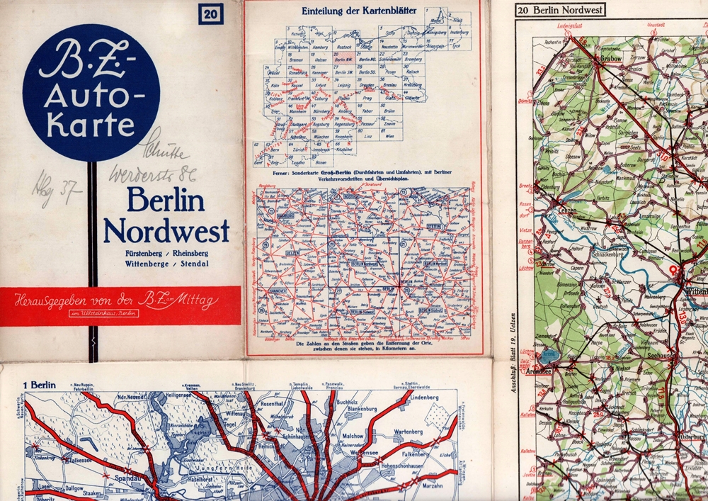
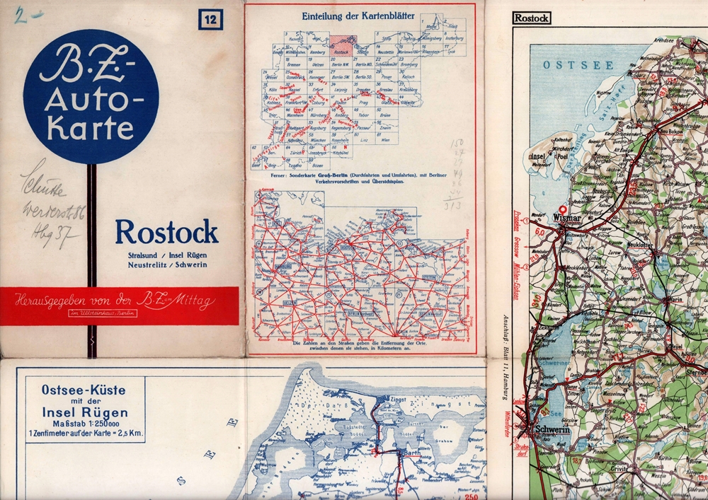
1939ref. 88286Berlin, Berliner Zeitung am Mittag, [ca. 1939]. Mehrfach gefaltete, farbige Karte, auf Feinkarton. Maßstab 1:250.000. Kartenmaß: 64,5 x 86,5 cm. Falzmaß 21,8 x 14,7 cm.
1939ref. 88285Berlin, Berliner Zeitung am Mittag, 1939]. Mehrfach gefaltete, farbige Karte, auf Leinen kaschiert. Maßstab 1: 250.000. Kartenmaß: 38,8 x 55 cm, Blattmaß: 43 x 57,8, Falzmaß 21,8 x 14,7 cm.
197330 pages. Undated. Appears to be circa 1970s. Suggests 30 gem-hunting areas in B.C. Two stickers on front cover. Doodling on back cover. Somewhat above-average wear. A sound copy. Book
2004ref. LFA-126750284Un ouvrage de 126 pages, format 140 x 210 mm, illustré, broché couverture couleurs illustrée, publié en 2004, Editions Pardès (avec des surlignages dans le texte)
19905th edition. Good paperback. Covers creased. 10602. eng
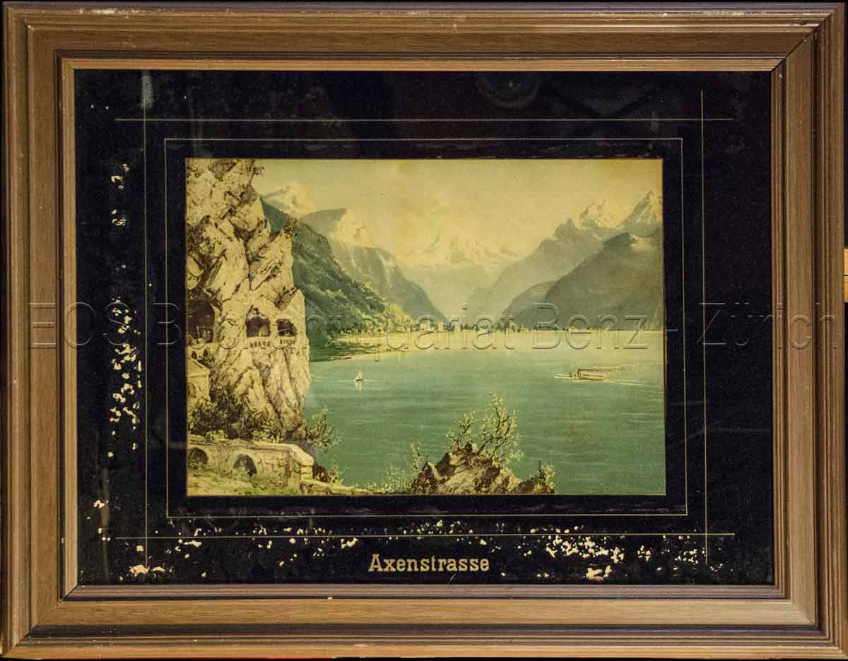
1860ref. 823CG(um 1860). Chromolithographie hinter Glas. Bildausschnitt: 24 x 33,5 cm. + Wichtig: Für unsere Kunden in der EU erfolgt der Versand alle 14 Tage verzollt ab Deutschland / Postbank-Konto in Deutschland vorhanden +, Abb.
1860ref. 823CG(um 1860). Chromolithographie hinter Glas. Bildausschnitt: 24 x 33,5 cm.
1953Carte au 1/200 000e.