[Stollberg- Allemagne]Livre Rare Book
5 942 résultats
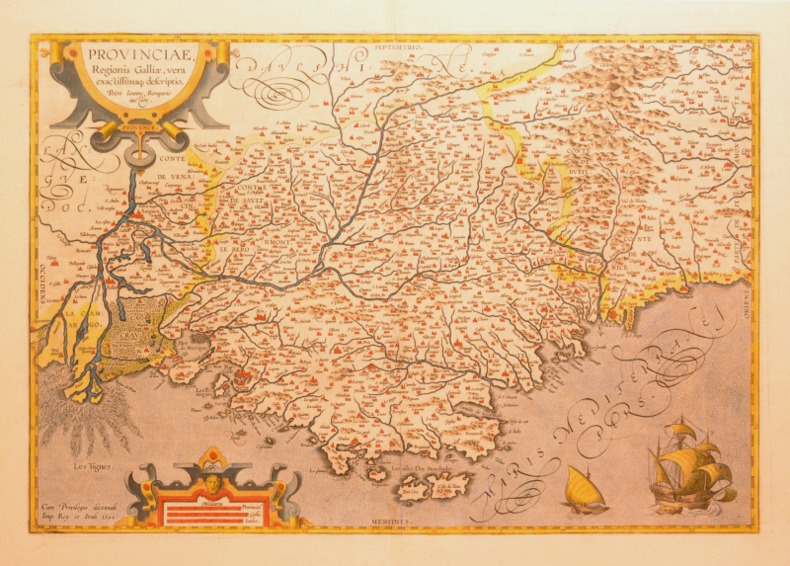
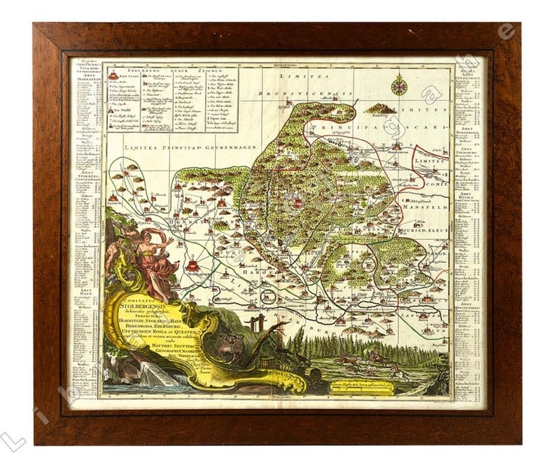
réf. 20921Cartouche du titre en bas à gauche avec figures allégoriques, scènes de forge et de chasse à courre. Légende en haut à gauche.
1822réf. 176291822 Paris, Béthune & Plon for Leblanc, (1822). atlas vol. in folio. Sans page de titre ni reliure,broche,mouillures en marge,carte abimée,25 lithographies en noir,dans l’etat
183318x 23 Cm., 2 carte ( frontespizio e indice e; Tavv. 28 incise su rame tutte raffiguranti cartine geografiche: planisferi, regni d’italia, Europa, Russia, Africa, Asia, penisola arabica, Stati Unit, America Meridionale, Oceania, Cina, India.
Incisione su rame all'acquaforte e bulino. Foglio unico di due incollati insieme di mm 602 x 471. Carta di filo senza tinte, porosa e spessa. Filigrana non rilevata. Ottimo foglio a grandi margini, in carta candida e forte. Lievemente arrossata la piega centrale. Titolo in alto a destra entro ricco cartiglio. Toponimi e descrizioni geografiche nella pianta. Proveniente da: "Corso Geografico Universale", Venezia 1692. Vincenzo Maria Coronelli (August 16, 1650 - December 9, 1718) was a Franciscan monk, an Italian cosmographer, publisher and encyclopedist known in particular for his globes. Born in Venice, Coronelli became a Minorite Friar and doctor of Theology at the Collegium San Bonaventura in Rome. In 1678 Coronelli created two globes for the Duke of Parma. These globes had a diameter of c. 175cm and were finely crafted. This drew the attention of the French ambassador, César d'Estrées, who subsequently invited Coronelli to Paris. Coronelli moved to the French capital in 1681, where he lived for two years. Coronelli was commissioned by the cardinal d'Estrées to produce two globes, one of the earth, the other of the heavens, for king Louis XIV. These globes measuring 384cm in diameter are presently relocated to their new place, Bibliothèque nationale François Mitterrand in Paris. Due to his renown he worked in various European countries in the following years, permanently returning to Venice in 1705. In Venice he started his own cosmographical project and published the volumes of Atlante Veneto. In his home city he founded the very first geographical society, the Accademia Cosmografica degli Argonauti. He also held the position of Cosmographer of the Republic of Venice. Later six volumes of the Biblioteca Universale Sacro-Profana were published by Coronelli. This was the first encyclopedia to be ordered alphabetically. Coronelli died at the age of 68 in Vienna, having created hundreds of maps in his lifetime. Original globes by Coronelli are today located in several collections. Pairs of his most famous large (c. 110 cm diameter) globes are e.g. in the Biblioteca Marciana in Venice, in the National Library of Austria and in the Globe Museum in Vienna, in the library of Stift Melk, as well as in Trier, Prague, Paris, London, Washington D.C.. Having been restored and completed, another 1688 terrestrial globe is displayed at the Southwest Collection/Special Collections Library of Texas Tech University in Lubbock, Texas. The International Coronelli Society for the Study of Globes, founded 1952 in Vienna, is named in Coronelli's honour. Ermanno Armao (1944) p. 108 e seguenti.
Delamarche, Paris, 1804. Incisione in rame all'acquaforte, confini in colore d'epoca, cm 56,5 x 76,5 circa (il foglio) più margini, cartiglio superiore riccamente decorato e un più piccolo cartiglio inferiore. Pieghe editoriali, ampi il margine superiore e inferiore, un poco rifilati i laterali. Buona conservazione. .
1794Incisione all'acquaforte su foglio unico di mm 826 x 622 su carta vergata molto forte. Due fori di tarlo sul grande margine bianco superiore, fuori dall''incisione. Primo foglio dell'opera di Rheiwald in 6 foglio. Ottimo esemplare.
Incisione su rame, carta vergata forte; foglio 570 x 780 mm, (522x 608 mm alla battuta). Mappa di Tolosa molto rara.considerato il primo mappe moderne della città. E 'dedicata a Capitouls (consiglio comunale eletto) giudici e amministratori della città, così come Toulouse gardiage (territorio adiacente alla città). La dedica del cartiglio è decorato con la stemma reale.
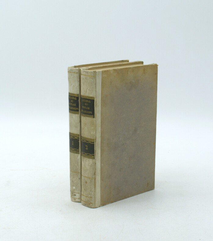
1790réf. PHO-2166Paris, de l’Imprimerie Royale, 1790. 2 volumes in-8° (20 × 12,5 cm), demi veau ivoire, dos lisse avec pièces de titre et tomaison maroquin noir, (6)-VII-1-280 pp. ; 4 ff., 380 pp., VI pp. d’errata. Illustré de deux cartes dépliantes (Kamtschatka ; Route de M. de Lesseps) manque la planche dépliante (Caravane kamtschadale). Petits défauts, coins usés
Incisione su rame 58 x 48 cm il foglio, 54 x 43 cm alla battuta. Acquarellatura probabilmente d'epoca. Fioriture diffuse. Piccoli segni di restauro evidente. Proveniente da: " Mercurio Geografico overo Guida Geografica in tutte le parti del Mondo conforme le Tavole di Giacomo Cantelli da Vignola Geografo del Sereniss. Signor Duca di Modana intagliate al bulino dà Antonio Barbey. Tomo secondo dato in luce con direttione e cura da Domenico de Rossi Erede di Gio. Giacomo de Rossi nella sua Stamparia in Roma alla Pace con Privilegio del Sommo Pontefice et Licenza de Superiori l'Anno 1692". Magini Giovanni Antonio (1555-1617)
1594réf. 0044301594 [Anvers], Ortelius, 1594. Carte (557 X 405 mm, marges comprises) sous cadre en bois noirci moderne.
1601bella e dettagliata carta geografica incisa in rame mm. 465 x 340 più margini, con splendida coloritura antica all'acquarello. La fonte è l'opera di Stefano Buonsignori, autore della prima carta del Fiorentino. Tratta dal "Theatrum Orbis Terrarum" il primo atlante moderno che comprendeva carte di tutte le zone del mondo, opera di grande successo pubblicata dal 1570 al 1612. L'Ortelius è senza dubbio tra i più conosciuti e ricercati cartografi dell'epoca. Testo in gotico al recto. Ottima conservazione.
Tre carte geografiche incise in rame su un foglio (cm. 34,5x48,5 e margini) bella colorazione coeva, abile restauro nella parte inferiore della piega centrale. Tratto dal Theatrum Orbis Terrarum, edizione con testo latino al verso. La carta del lago di Como deriva da quella di Paulus Jovius. Il Theatrum Orbis Terrarum del celebre cartografo olandese Ortelius (Anversa, 2 aprile 1528 - Anversa, 28 giugno 1598) è il primo atlante moderno. Le carte geografiche sono state per lo più elegantemente incise da Frans Hogenberg. Venne pubblicato in numerose edizioni, varie lingue, inclusa un'appendice, pubblicata di tanto in tanto, con le ultime scoperte dell'epoca. L'edizione definitiva apparve nel 1612. A differenza di molti suoi contemporanei, Ortelius aveva annotato le sue fonti di informazioni e nella prima edizione venne fatto riferimento a ottantasette differenti cartografi. A parte le mappe moderne del suo atlante maggiore, Ortelius stesso compilò una serie di mappe storiche conosciute come il Parergon Theatri, pubblicato per la prima volta nel 1579, talvolta come pubblicazione separata, talvolta come parte integrante del Theatrum. Tra il 1570 e il 1612 il Theatrum venne ripubblicato in 42 edizioni con cinque supplementi di testo in Latino, Olandese, Tedesco, Francesce, Spagnolo, Italiano e Inglese.. .
Amsterdam, chez R. et I. Ottens, 1730 – 1740 circa. Incisione in rame, colore d’epoca, cm 37 x 46 (alla lastra). Grande carta della Liguria con in basso, sotto la veduta del golfo di Genova, tre riquadri con tre più piccole incisioni raffiguranti la pianta della città di Genova vista dall’alto, con il porto con la città nuova, la carta dell’isola di Corsica e la pianta del Distretto della città di Bastia con il relativo porto. Rara. Esemplare fresco, in grandi margini e bella coloritura coeva, ottimo stato di conservazione.
1848Grande carta geografica inc. su rame in bianco e nero, montata su tela, suddivisa in 40 riquadri di cm. 21,2 x 12,8 cad.; nella parte inferiore è arricchita dalle piante delle seguenti città: Como, Pavia, Lodi, Bergamo, Milano, Sondrio, Cremona, Brescia, Mantova, Verona, Vicenza, Rovigo, Padova, Venezia, Belluno, Treviso, Udine. La carta, ben conservata, è contenuta in una custodia di cartonato mod. marmorizzato.
réf. 20494 étuis cartonnés, sans nom, 1862-1864 de cartes entoilées et rempliées, La carte est dressée sous l'administration du préfet J.M. Pietri, sous la direction de l'agent-voyer Fenouil. Arrondissement de Montpellier: 8 cartes (1862); Arrrondissement de Lodève: 6 cartes (1862); Arrondissement de Saint-Pons: 6 cartes 1862); Arrondissement de Béziers: 9 cartes (1864). La taille des cartes est de 46,5 cm x 59 cm.
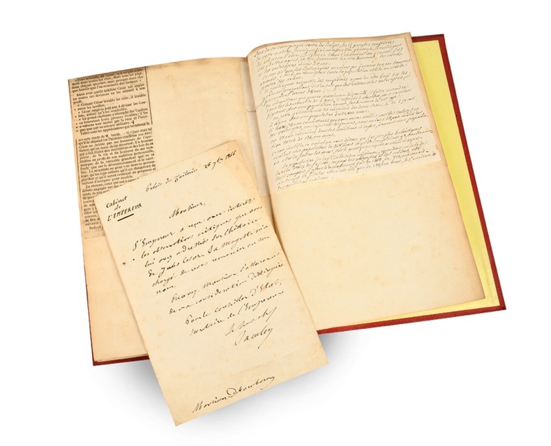
1866réf. 22165Paris, à l’Imprimerie Impériale, 1866 (Librairies Durand et Pedone Lauriel ; Franck) ; in-8, percaline rouge, dos à faux nerfs et titre dorés, double filet d’encadrement des plats (reliure de l’époque) ; 95 pp. (exemplaire de l’auteur, interfolié) et grande carte entoilée “de la Gaule Transalpine d’après les Commentaires de César, par M. Valentin-Smith, 1866.”
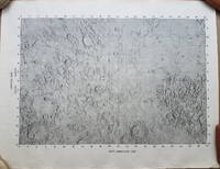
1969réf. 3792A very uncommon map of the Sea of Tranquility area that would be the site of the first moon landing in 1969. According to a description of a related larger-scale map in a 2020 Bonham's auction "NASA mission planners created this internal Manned Spacecraft Center chart a few months before the flight in 1969." The map encompasses the area from 14 degrees South to 14 degrees North Latitude and from 0 degrees to 42 degrees East Longitude. The coordinates of the Eagle's landing site were 0.675 degrees Latitude North and 23.47 degrees Longitude East – very near the center of the mapped area. The map is numbered "MSC – 6238 – 69" in the lower right margin. As it was meant for internal use only the map appears to be significantly less common than the LAC Lunar Chart series and the USGS geologic chart series. We were unable to locate an online reference to the map on the Lunar and Planetary Institute website. Condition: Rolled never folded. Some crinkling in the lower margin. Tear at extreme lower right corner with map number has been closed with archival tape on the reverse. Good. ICN 7706.1. NASA Manned Spacecraft Center
réf. 116424aaf1842-1862, 55 x 75 cm la carte, 22 feuilles (sur 25) + 2 doubles, légères rousseurs, quelques fentes aux plis, ms. Ernest Dapples ing. sur la toile au verso, montées sur toile.
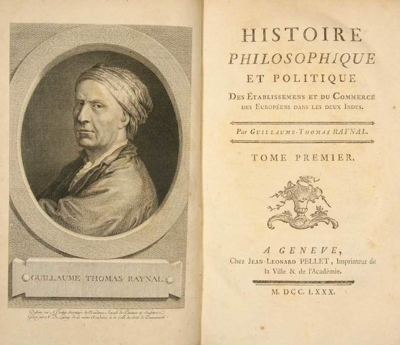
réf. 128506aafGenève, Jean-Léonard Pellet, 1780, in-8°, 10 frontispices gravés dont le portrait de l'auteur, 23 tables repl., reliures en veau marbré, dos richement orné or, encadrement d'un triple filet doré sur les plats, tranches marbrées, bel ensemble.
1895Very Good Turkish, Ottoman (1500-1928) Original color map. Folded. Oblong folio. (35 x 52 cm). In Ottoman script. Color lithograph. A very detailed and attractive Ottoman map of America. Scale: 1:12.000.000. Otherwise a very good copy. Slightly chipped extremities. Dated Hegira: 1311 = [Gregorian 1895]. Ali Seref Pasa or Hafiz Ali Esref. He was a soldier, who was schooled in Paris as a cartographer around 1862. Already in Paris he published his first atlas with 22 maps, called 'Yeni atlas'. Upon his return to Istanbul he became a chief cartographer at the Maatbaa-i amire Printing Press in Beyazit, which was the successor of the Muteferrika press from 1727. Among others he translated the large Kiepert map of Anatolia to Ottoman. He died in 1907, leaving his large project of a gigantic map of Anatolia in 100 sheets unfinished. Ali's name is often misunderstood or even listed as two different people: Ali Seref Pasa and Hafiz Ali Esref. Until the surname law adopted on June 21, 1934, Turks did not have surnames. They were born with one first name and were until the adulthood described only as sons or daughters of their parent's names. Later they were given titles such as Effendi (Sir), Bey (Chief) or Hanim (Madam) for higher classes, or they were given names according to their work or class. The names were not inherited by children until 1934, when the surname law was enforced. The map maker Ali received names Seref, the honourable, and Pasa, the dignitary. He was also known as Hafiz, the memorizer of Qur'an and Esref, Proud. So Ali Seref Pasa would have a meaning 'Honourable Dignitary Ali, and Hafiz Ali Esref, Memorizer of Qur'an, Proud Ali. Daruttibaa - Matbaa-I Amire Printing Press: The first press in the Muslim world, called Daruttibaa, was founded in Istanbul by Ibrahim Muteferrika in 1727, with a permission of Sultan Ahmeet III. It was located in Muteferrika's house. The first book was published in 1729 and until 1742 sixteen other works followed. After Muteferrika's death, the press was supressed for printing, as printed books were considered dangerous. In 1796 the press was purchased by the government and moved to Uskudar in Istanbul, and in 1831 finally to Beyazit, where it was renamed to Matbaa-i Amire in 1866. The press was closed in 1901 and was reopened in 1908 under the name 'Âmire' In 1927 the name changed to State Printing House. The press still exists and is known for publishing school and educational books. Extremely rare. Not in OCLC.; Not in TBMM Map Collection.
2017Coperta cartonata ed illustrata a colori. Ottimo stato, tagli regolari e pagine ben salde alla costa, libro completamente fruibile, n. 9028 della collana "Universale Economica Feltrinelli / Saggi", traduzione dall'inglese di Virginio B. Sala, presenti 38 figure in nero nel testo e 56 illustrazioni a colori fuori testo, prima edizione, numero pagine 526 USATO
Second edition, corrected and enlarged, [8], 242, [8], 40pp., additional engraved title in Latin with allegorical border, laid-down with two closed tears to fore-edge, title lightly stained with a couple of marginal chips, some general age-toning, engravings and woodcuts in the text including one full page, orig. calf, rebacked, joints rubbed, head of spine chipped. Joseph Moxon (1627?1691) established himself as a printer and globe and instrument maker in London. After visiting Amsterdam to study printing, Moxon brought back W. J. Blaeu's handbook of globes, then just published, and translated it into English as "A tutor to astronomy and geography" in 1659. The work was superseded when Moxon published a totally new handbook in 1659, "A tutor to astronomie and geographie". This work was specially designed for an English market rather than Dutch, and became Moxon's most popular work relating to globes. This second edition is corrected and greatly enlarged. A variant second edition which is not listed in Wing, it varies from Wing M3023 in having a separate pagination for the 40-page "Antiquity, Progress, and Augmentation of Astronomie."; ESTC finds 3 copies located at Cambridge, Wellcome and Staatsbibliothek zu Berlin.
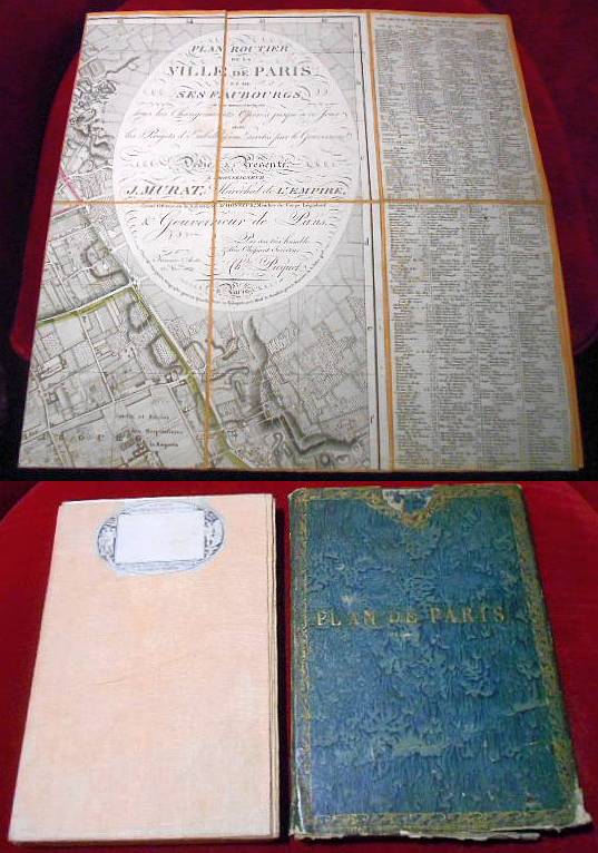
1804réf. 025579chez Charles Picquet, Paris 1804. Tadellos
1859réf. 15814Louis Antoine Paris 1859 1 vol. Feuille entoilée de 216 x 102 cm; repliée au format in-8 sous étui papier avec pièce de titre en veau cerise.
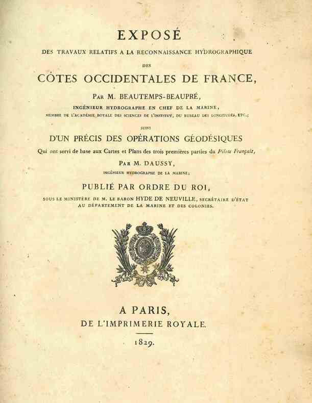
1829réf. 4945A Paris, de l'Imprimerie Royale, 1829. 1829 1 vol. in-4° (291 x 225 mm) de: [2] ff. (titre, table); 124 pp.; 1 grande carte dépliante: «Trigonométrique des côtes occidentales de France par M. Daussy». (Quelques rousseurs, plis et petites déchirures à la carte). Demi-toile verte d'époque, dos lisse titré en lettres dorées, plats recouverts de papier marbré vert.