L´Isle, Guillaume deAntiquariat.de

1 401 résultats
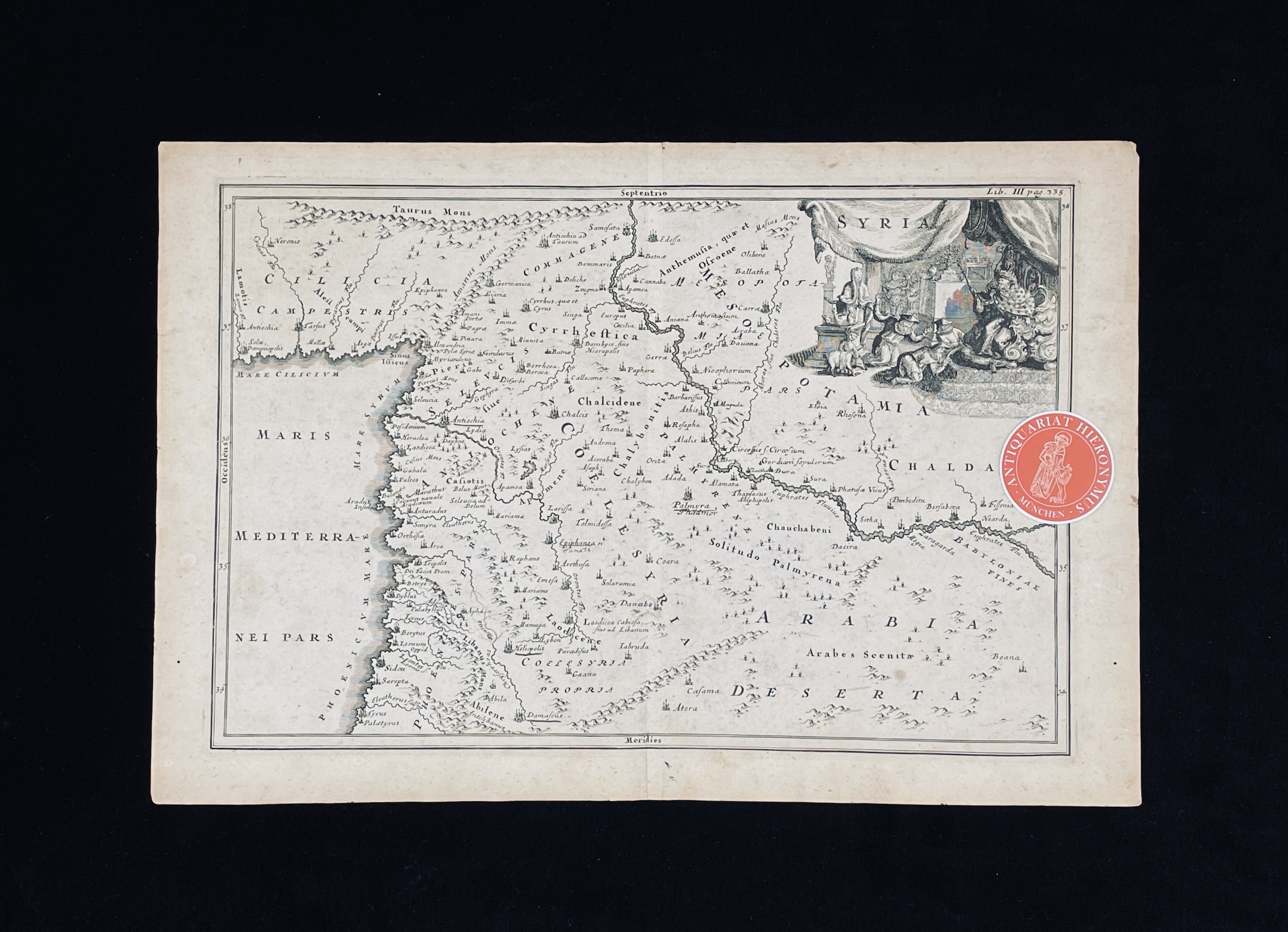
1780réf. 35069Paris, Dezauche 1780. Dekorative, altkolorierte Kupferstich-Karte in der Plattengröße von 48 x 63 cm (Blattgr. 54,5 x 74,5 cm). An den Rändern stellenweise etwas bestoßen.
1959réf. 026812Club Des Éditeurs, Paris 1959. Kunstleder Tadellos
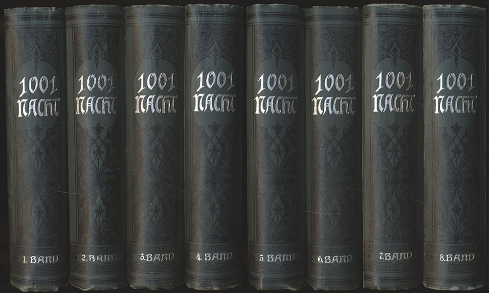
1895réf. 9115EBLeipzig, Druck und Verlag von Philipp Reclam jun., [1895]. Klein-8°. 14,5 x 10,5 cm. Ca. 4800 Seiten. Illustrierte grüne Original-Leinenbände mit silbergeprägten Rücken- und Deckeltiteln sowie marmorierten Schnitten.
1731réf. 11460Leipzig, Selbstverlag, 1731. Kupferstich. Blattgröße: 35,3 x 23,8 cm, Druckspiegel: 31,2 x 21 cm.
1909réf. ISLA0057Lpz., Haupt 1909. gr.-8°, X, 685 S., HLn. d. Zt., abgegriff., hint. Rückenkante oben etw. zerschlissen, flieg. Vors. m. Besitzerstemp., Innentit. m. Namenszug, marmor. Schnitt.
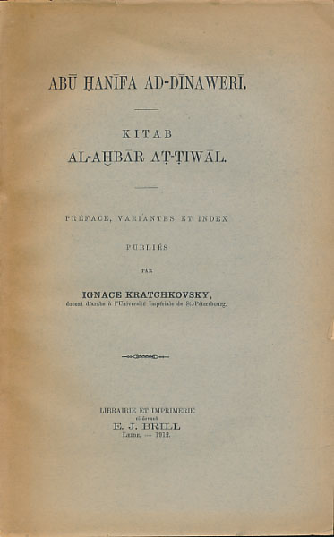
1912réf. 4967EBLeide, E. J. Brill, 1912. Groß-8°. 23,5 cm. Nicht durchgehend paginiert. Original-Broschur.
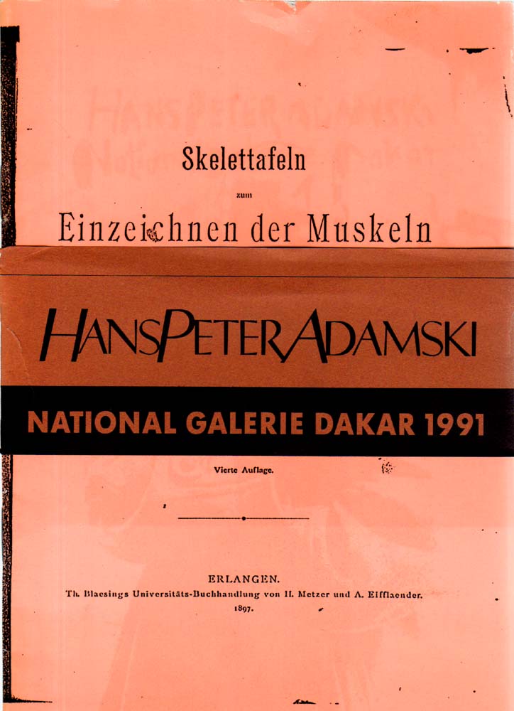
1991réf. 68393BBDakar., Nationalgalerie Daka., 1991. 21 x 15 cm. 14 Bl. OBroschur mit Banerole., 68393B Einband leicht berieben, stellenweise leicht eingerissen oder knittspurig. Banderole mit größeren Rissen, insgesamt gutes Exemplar.
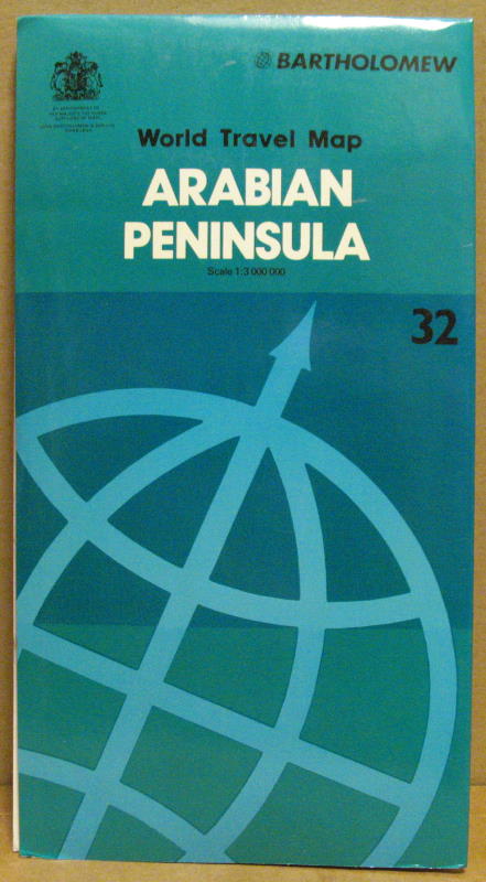
1983réf. 67838Edinbourgh, John Bartholomew & Son Ltd., 1983. 4°; folded, colored map 1:3.000.000, 91,5 x 79 cm. incl. 10 insets; [Englisch]; good conditions
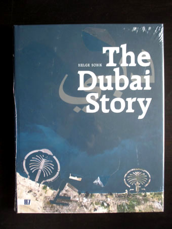
2009réf. 33169Richter und Fey, Düsseldorf, 2009. 244 SeitenSeiten / pp., mit zahlreichen Abbildungen / richly illustrated; Fol. , ca. 35 x 27 cm, Pappeinband mit Schutzumschlag / Hardcover with Jacket
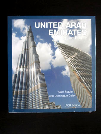
2010réf. 33165ACR Edition, Paris, 2010. 336 Seiten / pp., mit zahlreichen Abbildungen / richly illustrated; 4°, ca. 30 x 27 cm, Pappeinband mit Schutzumschlag / Hardcover with Jacket
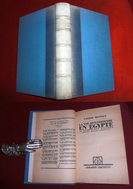
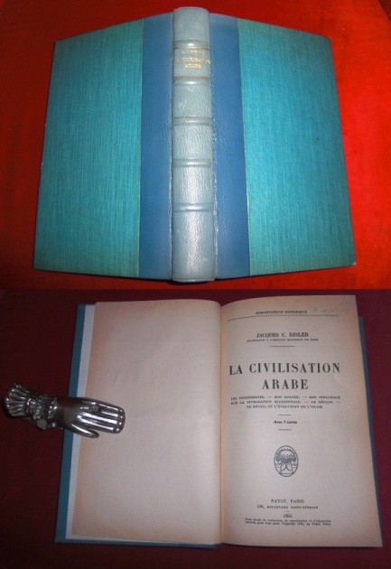
1952réf. 013576Hachette, Paris 1952. 44ème Edition Halbleder/Leinen Gut
1955réf. 013574Payot, Paris 1955. 1ere Edition Halbleder/Leinen Tadellos
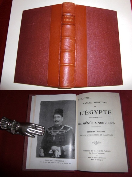
1935réf. 013575College De La Sainte Famille, Le Caire 1935. 6eme Edition Revue, Augmentée Halbleder/Leinen Sehr gut
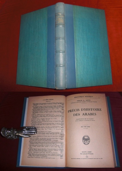
1950réf. 013573Payot, Paris 1950. 1ère Edition Francaise Halbleder/Leinen Sehr gut
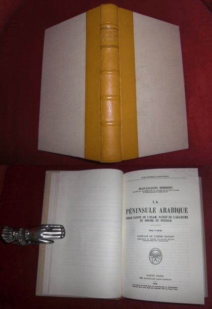
1958réf. 013566Payot, Paris 1958. 1ère Edition Leinen, Leder Tadellos
1998réf. 140450Dubai. UAE. Motivate Publishing. 1998. 306 pages and a lot of plates with illustrations. Black hardcover and an illustrated dustjackert. 25x17 cm
1914réf. 56060BBLeipzig, Verlag R. F. Koehler, 1914 - 1916. 4°. 25,5 cm. 381, 396, 127 Seiten. Neue Leinenbände mit aufgeklebten Rückenschildchen.
1959réf. 4968EBWiesbaden, Franz Steiner Verlag, 1959. 4°. 25,5 cm. Nicht durchgehend paginiert. Original-Broschur. (= Bibliotheca islamica, Band 22).
1994réf. 5124EBDarmstadt, Wissenschaftliche Buchgesellschaft, 1994. Groß-8°. 24,5 cm. XV, 776 Seiten. Original-Leinenband mit Original-Schutzumschlag.
réf. 1516EBParis, Eug. Fasquelle, o.J. 4°. 31 cm. 315 und 371 Seiten. Private Halblederbände der Zeit mit goldgeprägten Rückentiteln.
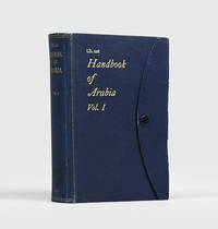
1916réf. 192452London: Admiralty War Staff Intelligence Division May 1916. A detailed intelligence handbook the folding maps in excellent condition First edition of this regional survey for the armed services published for official use only and compiled by the Arab Bureau's David Hogarth following his recruitment to naval intelligence in 1915. The four folding maps present Arabia's settlements tribal distribution and orographic and land-surface features. After general physical and social surveys chapters cover Bedouin tribes the Hejaz Asir Yemen Aden and the Hadhramaut Oman the Gulf coast Nejd Jebel Shammar the northern Nefud and Dahanah belts and settled tribes. The appendices comprise a system of transliteration from Arabic to English and an extensive glossary of topographical terms. "The sources from which this work has been compiled include native information obtained for the purpose since the outbreak of the war. This applies in particular to the strength and distribution of the Bedouin tribes and to their political relationships. Recent information from native sources has also been used for parts of the Red Sea littoral such as the little-known region of Asir" preliminary note. Volume II published the following year was concerned with detailed routes. The work was reissued in 1920. Octavo. With 15 photographic halftone plates 4 folding colour maps in end pocket. Original blue cloth flap case metal stud-fastener spine and front cover lettered in gilt. Annotated bookplate of Royal Artillery Institution Woolwich. Shadow from old label on spine fold of front flap splitting at ends and consequently a little fragile ring stain on outer face of folded map another map with small pinhole couple of small splash marks: a very good copy indeed. hardcover
2026réf. x-1032864559Taylor & Francis Ltd 2026. Paperback. New. 400 pages. 7.00x0.84x10.00 inches. Taylor & Francis Ltd paperback
1946réf. 192581London: Naval Intelligence Division 1946. First edition of this comprehensive and extensively illustrated regional handbook prepared under the direction of the academic geographer Lieutenant-Colonel Kenneth Mason a recipient of the Founder's Medal of the Royal Geographical Society. Chapters cover geology geography coastal areas climate vegetation demographics public health and economics. Specific sections explore the history and governance of the Arabian Peninsula in the 20th century addressing Saudi Arabia Yemen and Aden. Western Arabia and the Red Sea was part of a new series of handbooks intended to replace those produced by the Admiralty in the First World War. The series one of the largest geographical compilation efforts ever attempted was spearheaded by Rear-Admiral John Godfrey 1888-1970 Director of Naval Intelligence and his personal assistant Ian Fleming. This copy has a label mounted over the classification statement on the title page verso confirming that it was sold after the series was declassified and made available to the public. Octavo. Halftone frontispiece after photograph of Mecca 169 halftone photographic plates 1 folding 18 maps 12 folding of which 5 with highlights in blue or brown large colour folding map of Arabia in end pocket folding pedigree; plans sketches tables and maps in text; printer's credit overpasted as issued. Original green cloth spine and front board lettered in gilt. Spine sunned and lightly mottled rear board lightly scratched contents bright: a very good copy. hardcover
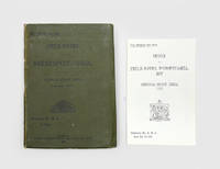
1917réf. 192206Calcutta: Superintendent Government Printing India 1917. With the loosely inserted index Second edition significantly expanded and revised from the first of 1915 including updated sections on Al Hasa and Nejd and the rule of the Saud dynasty as well as 22 additional route descriptions in the final section. The 20-page index tucked into the end band was issued only with a subset of copies. The first edition issued in March 1915 went through three small printings in a year but the outbreak of the Arab Revolt and the upswing in the Mesopotamian Campaign necessitated its revision. Chapters discuss history geography populations resources maritime issues and administration while also providing British intelligence on the Ottoman forces. On the "fighting qualities of local Arabs of Mesopotamia" the compilers observe that "for several years the Arabs have been very friendly towards the British and on several occasions prominent chiefs have come forward with suggestions of a British Protectorate" p. 90. The routes draw on a variety of sources including Lorimer reports by captains Shakespear and Leachman the Danish explorer Barclay Raunkiaer Lieutenant Arnold Wilson and recent intelligence supplied by Lieutenant-Colonel L. S. Newmarch Resident and Consul-General at Baghdad. In a reflection of the region's changing geopolitics the list of important personages is reduced from 25 in the first edition to only 11. Octavo. Folding heliozincographed map of Lower Mesopotamia in front pocket 3 folding tables errata slip tipped in facing p. 34; tables in text. With 20-page separate index loosely inserted in rear band. Original green diagonal-grain cloth wallet binding spine and front cover lettered in black. Title page with contemporary pencil ownership inscription of Lieutenant-Colonel Austin Romauld O'Flaherty officer commanding 33 British General Hospital Mesopotamia. General signs of use spine sunned small tidemarks internally short split along fold of map; index volume re-sewn: very good. hardcover
2004réf. 7008Suomen Antiikki- ja Taidekirjat Ltd 2004. 2nd Edition. Softcover. Fine. Text in Finnish Swedish and English. 119 pp. Suomen Antiikki- ja Taidekirjat Ltd paperback