12.228 resultados
Madrid, Dirección General del Instituto Geográfico y Catastral, 1948. 2ª edición. Mapa publicado por sectores (sector 150). Escala 1:50.000. 56x76 cms. Mapa entelado y plegado. Buen ejemplar.
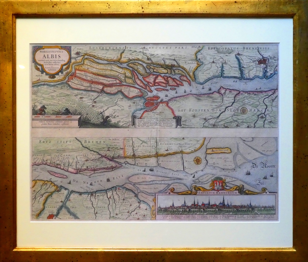
1637ref. 84923[Frankfurt am Main, Merian, 1637]. Je Darstellung 17,5 x 51,5 cm. Fachmännisch gerahmt 56,5 x 65,5 cm (Flachgoldleiste 3,5 cm breit).
ref. SLIVCN-9782896428380CARACTERE EDITIONS (CA)
ref. SLIVCN-9782897422509CARACTERE EDITIONS (CA)
ref. SLIVCN-9830096004665PASSE-TEMPS EDITIONS
ref. 26142Lausanne, La Marge. Sérigraphie en noir, au format 21 x 11 cm.
1991ref. 55373New York, John Wiley & Sons, 1991. Geometrical methods for engineers and scientists XVI, 376 S. (24 cm) illustrierter Pappband / gebundene Ausgabe
1952ref. 56432Portland OR: Published by Byington Printing Co. March 1952. 1 large folding map sized 21 x 23 printed in red & black inset map on verso of map as well as street and city guide index street traction system transportation information and zones. Map folds down into small printed portfolio w/ fold-over flap printed in red & black illust. of mill on front light toning still VG. First edition thus of this updated city map with postal zones and all of the motorcoach lines and electric trolley lines delineated. The map is of particular interest as showing Portland OR neighborhoods before the clearing and construction of Interstate-5 and the outlines of the destroyed city of Vanport. Destroyed in the 1948 flood Oregon’s second largest city had been originally constructed by Henry Kaiser outside of the Portland city limits in order to house a large influx of African-American workers largely barred by Oregon discriminatory laws. Byington 1862-1956 was a California printer who moved to Oregon following World War I would own and operate Byington Printing Co. until his death. No copies located in Worldcat. Published by Byington Printing Co., unknown
ref. ML196Thomsons (1871) carte coloriée 50cmx 59cm. Excellent etat Langue: Français
1838ref. A104Paris, Delamarche, 1838 ; 475/336 mm, 1 pp., une feuille. Carte ancienne des pays scandinaves. Bon état.
1855ref. LBW0357fNew York 1855 403 x 338 mm.
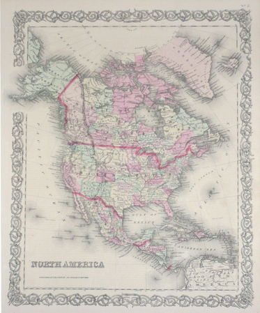
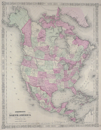
1864ref. LBW0357dNew York 1864 564 x 435 mm.
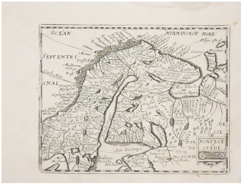
1667ref. LBW-6509[Paris, Jollain, 1667]. 127 x 165 mm.
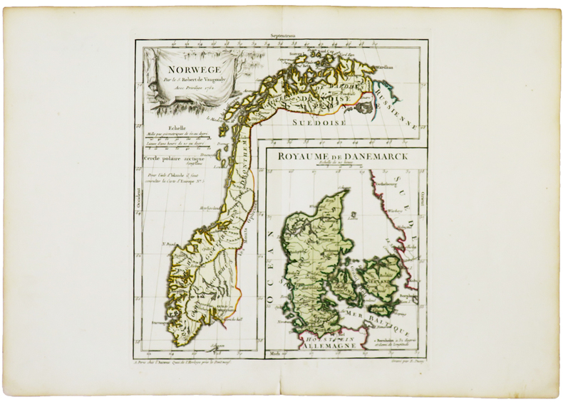
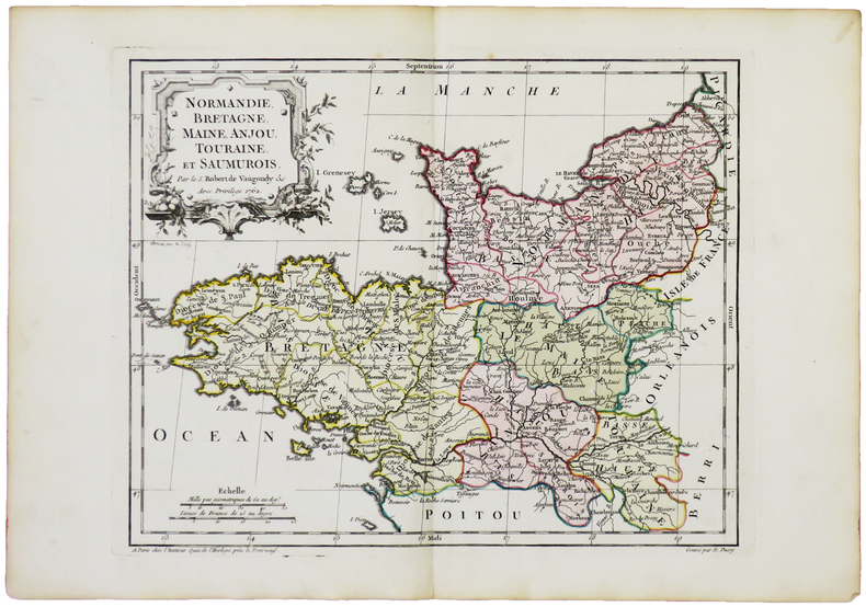
1762ref. LBW-5025Paris, chez l'auteur, 1762. 238 x 219 mm.
1762ref. LBW-5032Paris, chez l'auteur, 1762. 238 x 299 mm.
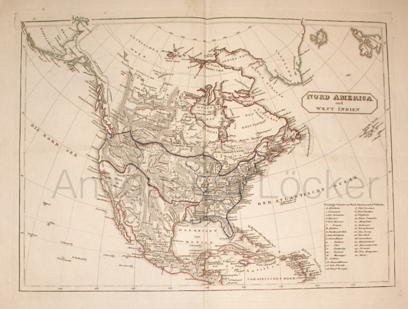
1820ref. KART0158o.O. u. J. (ca. 1820). Grenzkol. Kupferstichkarte, Längen- und Beitengradeinteilung, re. unten die Auflistung der Bundesstaaten, Bildausschnitt 40x29,5 cm, Blattgröße: 41x51 cm, durchgeh. Mittelfaltung, an den Ecke Knitterspuren, insges. sehr gutes und sauberes Blatt.
1982ref. SBBIH-SZLLN6I6SLM2Michelin Travel Publications 1982. paperback. Good. Our good condition books are generally good for reading but not for gifting or collecting. They could have imperfections such as creasing fanning inscriptions margin notes yellowing staining on edge or cover or pages bumps scuffs etc etc sometimes multiple of these. It's a wide category that encompasses anything that isn't almost-new down to anything that is slightly better than poor. We would NOT recommend gifting Good books - these should be considered reading copies. Our books are dispatched from a Yorkshire former cotton mill. We list via barcode/ISBN so please note that the images are stock images and may not be the exact copy you receive furthermore the details about edition and year might not be accurate as many publishers reuse the same ISBN for multiple editions and as we simply scan a barcode or enter an ISBN we do not check the validity of the edition data when listing. If you're looking for an exact edition please don't order at least not without checking with us first although we don't always have time to check. We aim to dispatch prompty the service used will depend on order value and book size. We can ship to most countries see our shipping policies. Payment is via Abe only. Michelin Travel Publications paperback
1903Une feuille 90x63 cm.
(Kompass Wanderkarte). eng
ref. 0008258007.Gspiral_bound. Good. Access codes and supplements are not guaranteed with used items. May be an ex-library book. unknown
1947No marks or inscriptions. A very clean very tight copy with bright unmarked boards, very slight foxing to page edges and no bumping to corners. Dust jacket not price clipped or marked owith small tear/crease near upper front spine edge. Large fold-out map at rear in excellent condition. 316pp. Well illustrated study and guide for the area of Normandy in northern France. The same format as Mee's King's England.
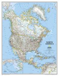
2011ref. 1-0792281020NATIONAL GEOGRAPHIC MAPS DIVISION 2011. Map. New. rol map en edition. 1 pages. 46.25x35.75x2.30 inches. NATIONAL GEOGRAPHIC MAPS DIVISION unknown
2013ref. 1-0792250176Natl Geographic Society Maps 2013. Map. New. lam map edition. 1 pages. 22.00x1.60x1.20 inches. Natl Geographic Society Maps unknown
ref. A9780792250180Sheet map. New. unknown
ref. A9780792281023Sheet map rolled. New. unknown