Antiquariat.de
12.210 resultados
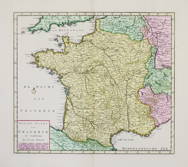
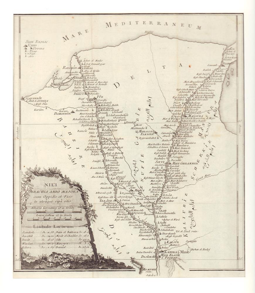
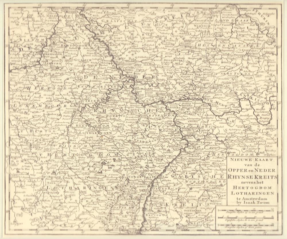
1750ref. 81146Amsterdam, Isaak Tirion, [ca. 1750]. Bildgröße: 28,4 x 33,7 cm. Unter hellgrauem Passepartout (39,3 x 44,2 cm).
1730ref. LBW-4941Amsterdam, [circa 1730]. 329 x 375 mm.
1754ref. LBW0247bAmsterdam 1754 340 x 362 mm.
1735ref. LBW0613f[Amsterdam, 1735]. 176 x 261 mm.
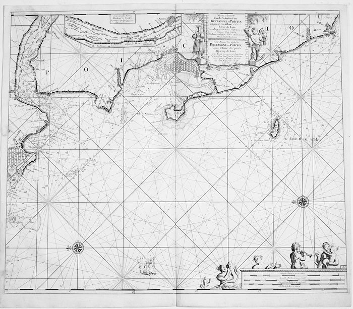
1700ref. LBW-811Amsterdam circa 1700 494 x 583 mm.
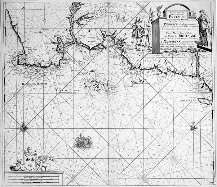
1700ref. LBW-814Amsterdam circa 1700 513 x 592 mm.
ref. 1553413512.Gmap. Good. Access codes and supplements are not guaranteed with used items. May be an ex-library book. unknown
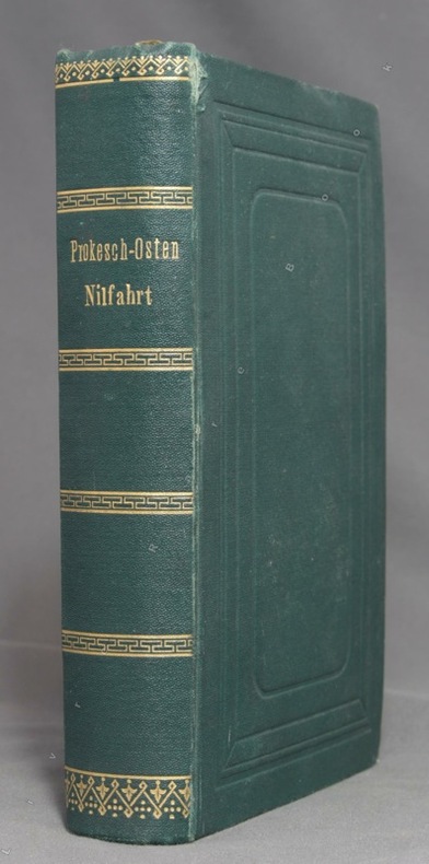
1874ref. 10458Leipzig, F. A. Brockhaus, 1874. In-12 de XIV-[2]-584 pages, pleine percaline verte, roulettes, titre et filets dorés au dos, plats ornés d'encadrements à froid, tranches marbrées. Tout petit accroc au mors du premier plat. Un prospectus Deutsche Buch-Gemeinschaft glissé dans le livre (et que nous y laissons) a foncé les deux pages entre lesquelles il se trouve.
1779ref. 81624(Kopenhagen, 1779]. 29 x 26 cm. Unter Passepartout.
1891ref. List3031Lynn Massachusetts: Arthur W. Robinson 1891. Nine of a ten-map series mostly measuring 14 ½ x 19 inches. Folded with slight marginal folding and wrinkling; Near Fine. Nine of a set of ten maps of the entire state of Massachusetts produced in 1891 for the League of American Wheelmen. The League was founded in Rhode Island in 1880 as a membership organization for cyclists. Besides presiding over racing and producing cycling guidebooks it advocated for increased government spending on road improvements especially for rural roads; these maps indicate roads of superior and inferior quality. In the 1890s there was a boom in cycling’s popularity mainly because of several inventions that allowed a safer and more pleasant ride compared to that of a penny-farthing. This group is near complete; we find two complete editions on OCLC. Arthur W. Robinson unknown
1891ref. List3031Lynn Massachusetts: Arthur W. Robinson 1891. Nine of a ten-map series mostly measuring 14 ½ x 19 inches. Folded with slight marginal folding and wrinkling; Near Fine. Nine of a set of ten maps of the entire state of Massachusetts produced in 1891 for the League of American Wheelmen. The League was founded in Rhode Island in 1880 as a membership organization for cyclists. Besides presiding over racing and producing cycling guidebooks it advocated for increased government spending on road improvements especially for rural roads; these maps indicate roads of superior and inferior quality. In the 1890s there was a boom in cycling’s popularity mainly because of several inventions that allowed a safer and more pleasant ride compared to that of a penny-farthing. This group is near complete; we find two complete editions on OCLC. Arthur W. Robinson unknown books
1930Feuille repli?e.
ref. 103912New York Hugo Gallery, s.d. [1945] 1 vol. broché Feuillet plié en trois (format A4) imprimé en noir annonçant une exposition de peintures et travaux automatiques. Formé à l'académie des Beaux-Arts de Pennsylvanie puis à la gravure à l'Atelier 17 avec Stanley Hayter, Dimitri Petrov (1919-1986), américain d'origine russe, était un artiste peintre Dada et surréaliste, membre du Woodstock Artists Association. Document provenant de la bibliothèque de Georges Bataille avec tampon à l'encre noire "Bibliothèque de Georges Bataille".
ref. 103912New York Hugo Gallery, s.d. [1945] 1 vol. broché Feuillet plié en trois (format A4) imprimé en noir annonçant une exposition de peintures et travaux automatiques. Formé à l'académie des Beaux-Arts de Pennsylvanie puis à la gravure à l'Atelier 17 avec Stanley Hayter, Dimitri Petrov (1919-1986), américain d'origine russe, était un artiste peintre Dada et surréaliste, membre du Woodstock Artists Association. Document provenant de la bibliothèque de Georges Bataille avec tampon à l'encre noire "Bibliothèque de Georges Bataille".
1947ref. TK222592Hodder & Stoughton London 1947. 1st Edition. HARDCOVER. 1st printing. Thick 8vo in pale yellow cloth blue lettering to spine. 332pp 6 folding maps frontispiece and 20 other full page plates in blue wash all done by the author facsimile letters and linocut decorations all by Pares __CONDITION : A well preserved near FINE clean and tight copy pages slightly tanned neat inscription dated 1947 on front blank fly-leaf no other marks or inscriptions in a tanned slightly dusty and slightly edge-nicked but otherwise VERY GOOD complete Dust Jacket looks fine in its removable transparent protector. A very nice copy. . __We always ship in PROTECTIVE CARD PARCELS Hodder & Stoughton, London hardcover
199379 pages. "A responsively irritable record of how it is to live bodily life now that the old maps don't tell us the truth. Hryniuk writes with intelligence and conscience. Her book has startling insights to offer." - Brian Fawcett. Clean and unmarked with light wear. Nice copy. Book
Madrid, Dirección General del Instituto Geográfico y Catastral, 1948. 2ª edición. Mapa publicado por sectores (sector 150). Escala 1:50.000. 56x76 cms. Mapa entelado y plegado. Buen ejemplar.
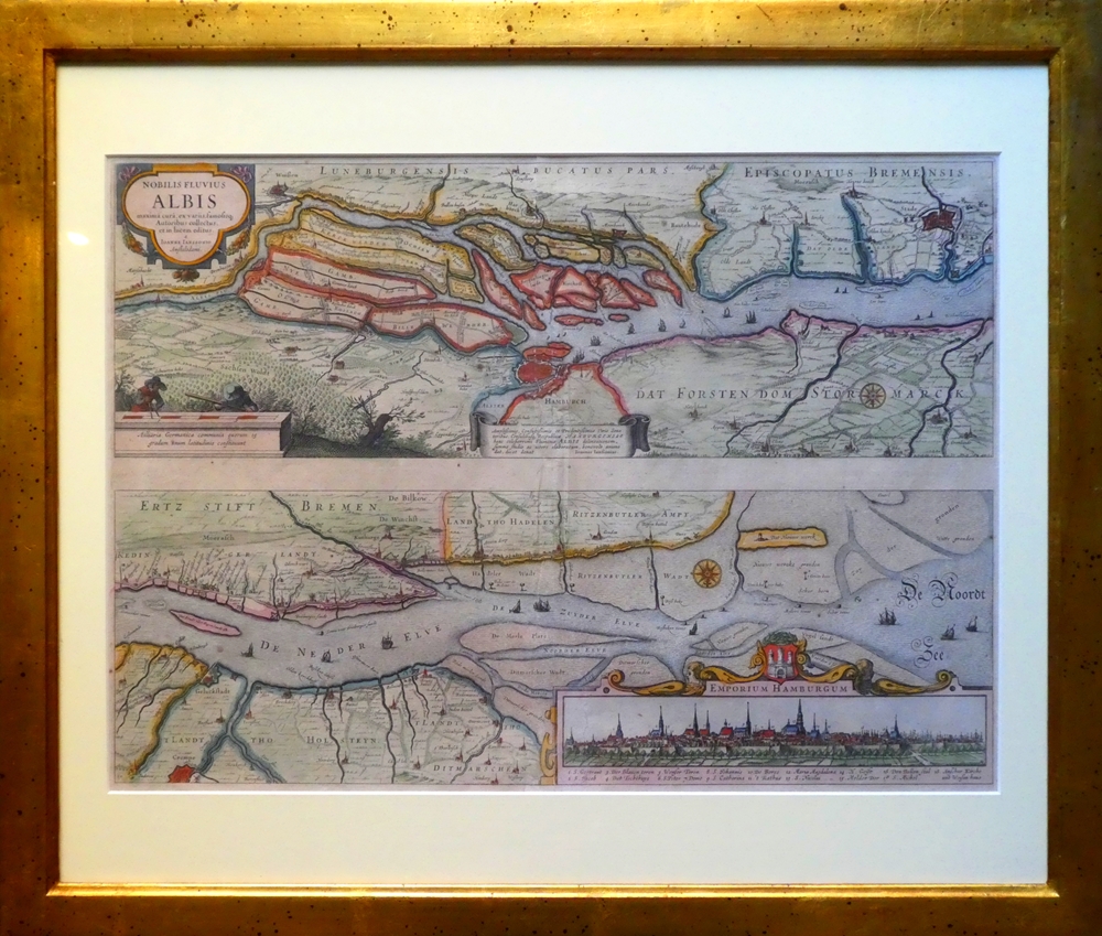
1637ref. 84923[Frankfurt am Main, Merian, 1637]. Je Darstellung 17,5 x 51,5 cm. Fachmännisch gerahmt 56,5 x 65,5 cm (Flachgoldleiste 3,5 cm breit).
ref. SLIVCN-9782897422509CARACTERE EDITIONS (CA)
ref. SLIVCN-9782896428380CARACTERE EDITIONS (CA)
ref. SLIVCN-9830096004665PASSE-TEMPS EDITIONS
1991ref. 55373New York, John Wiley & Sons, 1991. Geometrical methods for engineers and scientists XVI, 376 S. (24 cm) illustrierter Pappband / gebundene Ausgabe
ref. 26142Lausanne, La Marge. Sérigraphie en noir, au format 21 x 11 cm.
1952ref. 56432Portland OR: Published by Byington Printing Co. March 1952. 1 large folding map sized 21 x 23 printed in red & black inset map on verso of map as well as street and city guide index street traction system transportation information and zones. Map folds down into small printed portfolio w/ fold-over flap printed in red & black illust. of mill on front light toning still VG. First edition thus of this updated city map with postal zones and all of the motorcoach lines and electric trolley lines delineated. The map is of particular interest as showing Portland OR neighborhoods before the clearing and construction of Interstate-5 and the outlines of the destroyed city of Vanport. Destroyed in the 1948 flood Oregon’s second largest city had been originally constructed by Henry Kaiser outside of the Portland city limits in order to house a large influx of African-American workers largely barred by Oregon discriminatory laws. Byington 1862-1956 was a California printer who moved to Oregon following World War I would own and operate Byington Printing Co. until his death. No copies located in Worldcat. Published by Byington Printing Co., unknown
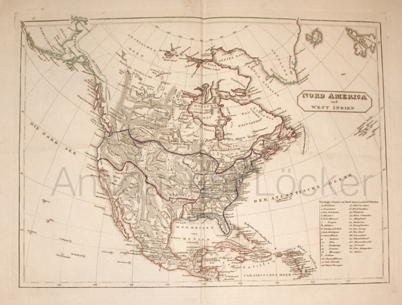
1820ref. KART0158o.O. u. J. (ca. 1820). Grenzkol. Kupferstichkarte, Längen- und Beitengradeinteilung, re. unten die Auflistung der Bundesstaaten, Bildausschnitt 40x29,5 cm, Blattgröße: 41x51 cm, durchgeh. Mittelfaltung, an den Ecke Knitterspuren, insges. sehr gutes und sauberes Blatt.