12.228 resultados
ref. DADAX0929591690Benchmark Maps 2019-11-01. 7th Edition 2020. paperback. New. 10.50x0.50x15.00. Buy with confidence. Excellent Customer Service & Return policy. Benchmark Maps paperback
ref. DADAX0929591925Benchmark 2014-11-03. 2015. paperback. New. 10.75x0.50x10.00. Buy with confidence. Excellent Customer Service & Return policy. Benchmark paperback
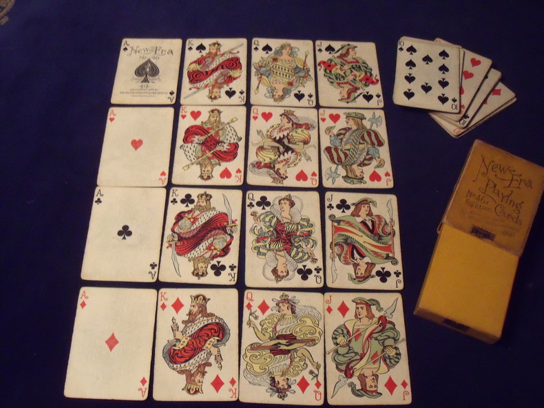
1896ref. 963189652 cartes - joker manquant - Portrait de création originale de style" Art Nouveau" - 1896 - Fabricant: United Playing cards - Cincinnati - Jeu légèrement usé - boite d'origine complète un peu ternie , mais complète avec son timbre de scellement .
ref. RO30010641Inconnu. sans date. In-12. Broché. Bon état, Couv. convenable, Dos satisfaisant, Intérieur frais. Non paginé. Illustrations couleur se dépliant en accordéon, à l'intérieur d'une enveloppe illustrée en couleurs, au format carte postale.. . . . Classification Dewey : 741.68-Illustrations des cartes postales
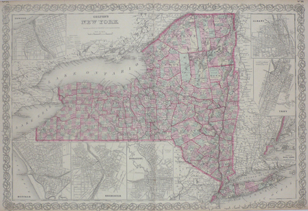
1858ref. LBW03587New York 1858 434 x 637 mm.
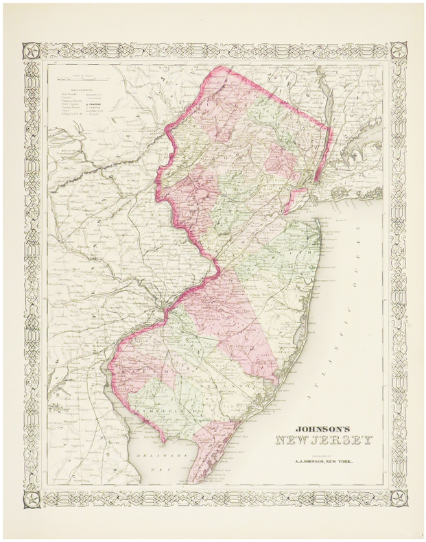
1864ref. LBW03581New York, 1864. 395 x 325 mm.
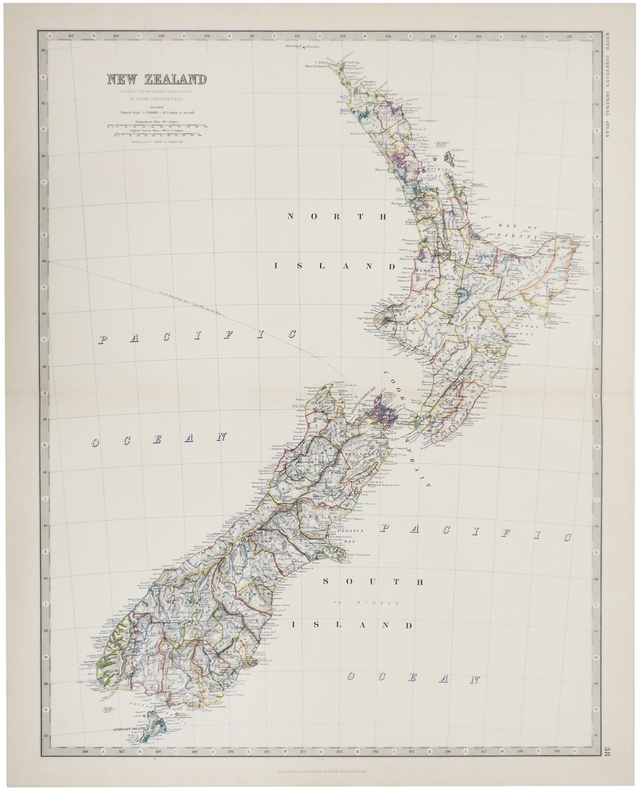
1884ref. LBW-509Edinburgh, 1884. 571 x 441 mm.
1807ref. 31273London, Rob. Laurie and Ja. Whittle, 1807. 62x49,5 cm. Kobberstukket kort over Sverige med Sundet og til Gävle og Fahlun i nord, Gotland og den Botniske Bugt i øst. I smuk original helkolorering. Rent frisk eksemplar trykt på kraftigt papir.
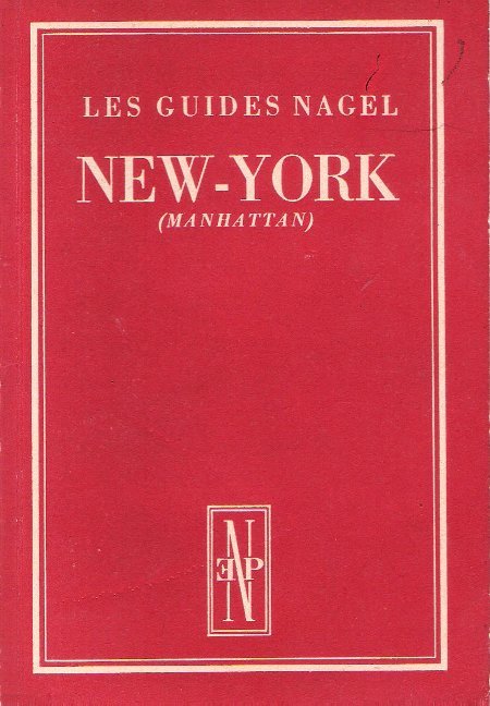
1954ref. 019151Genève - Paris Les Éditions Nagel 1954 In 12 VIII + 60 pages . Un plan en couleurs dépliant - Map of lover New York et deux plans en noir .- 60 p. , 250 gr
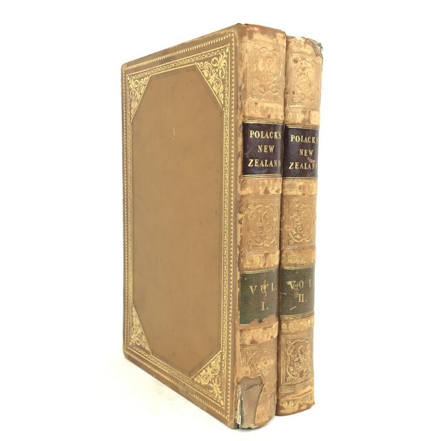
1838ref. PHO-1194London, Richard Bentley, 1838. 2 volumes in-8 (21 x 13 cm), veau fauve glacé (reliure de l'époque), dos lisse orné, pièces de titre et de tomaison en maroquin grenat et olive, dentelles dorées et triple filet à froid encadrant les plats, roulette dorée intérieure et sur les coupes, tranches peignées, xii-403-[1];vi-441-[1] pages (complet). Coins usés, charnières frottées et fendues, coiffes accidentées ,manque au dos avec épidermure .
ref. 0875300901New. New. Satisfaction Guaranteed or your money back. unknown
ref. 2090502113702155Not Available N.A. Soft Cover. Fine. The book is in fine condition. Not Available paperback
1935ref. 2083002116200065Oriental Maps Megumi Ito 1935. Soft Cover. Fine. The book is in fine condition. Oriental Maps Megumi Ito paperback
2025ref. SKU1731490Benchmark Maps 2025-03-01. paperback. New. 11x1x15. New Book Ships with Tracking Benchmark Maps paperback
2025ref. SKU1733453Benchmark Maps 2025-03-01. paperback. New. 11x1x15. New Textbook Ships with Tracking Benchmark Maps paperback
1979No marks or inscriptions. A very clean very tight copy with bright unmarked boards and no bumping to corners. Dust jacket not price clipped or marked or torn with minor creasing to upper rear edge and traces of storage. Unpaginated. A picture book with captions showing the attractive scenery of the six states of America's New England.
1994No marks or inscriptions. Light creasing to covers, none to spine. A very clean very tight copy with bright unmarked boards and no bumping to corners. ca 100pp. The secrets of Britain's best-loved woodland illustrated including OS 1:25,000 maps.
1962No marks or inscriptions. A very clean very tight copy with bright unmarked boards and no bumping to corners. Dust jacket not price clipped or torn or creased with small marks to upper edges. Two fold-out gallery plans in excellent condition. 173pp. Comprehensive guide to the paintings in the Prado Galley in Madrid. Well illustrated.
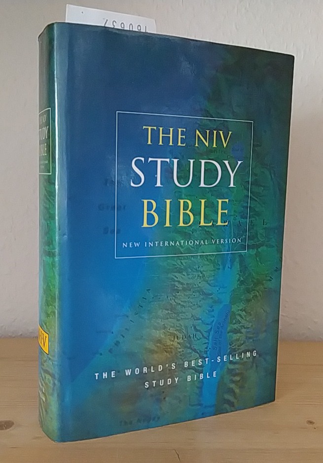
2000ref. 160637London, Sydney, Auckland: Hodder & Stoughton 2000. XVIII, 2171 Seiten. Dünndruck. Mit 11 farbigen Kartenabbildungen im Anhang. Gr. 8° (22,5-25 cm). Orig.-Kunstlederband mit goldgeprägtem Titel auf Deckel und Rücken sowie mit Orig.-Schutzumschlag und Lesebändchen. [Hardcover / fest gebunden].
1925ref. 70992Chicago IL: Rand McNally & Co 1925. Engraved map 28 x 20 ½ inches recto showing counties outlined in yellow railroads and identified steamship lines in red along the coast and up the Delaware River and printing a list of railroads verso printing another map of the same dimensions this one in blue Rand McNally Main Highway Map of New Jersey. Title on first map: Rand McNally Standard Map of New Jersey. Index for "principal cities" printed in left margin of each map. Folded into printed brown wrappers spine partly split 12mo. 33 1 4 pp.; C. S. Hammond & Co. label pasted over publisher's imprint on front wrapper more information on cities towns etc. Good copy. Rand, McNally & Co unknown books
1867ref. 63963New York NY: Taintor Brothers Merrill & Co. 758 Broadway c. 1867 ca. 1870. One large folio colour lithograph map sized 19.5 x 25 in. expertly mounted on linen decorative border neatline very faint dustsoiling marks from when originally folded very slight age toning at the former creases still a VG bright copy. Early printing of this splendid map depicting the five boroughs before their consolidation 30 years later in 1898 and offering a superb snapshot of the streets ferry lines waterways and Harbor. New York rapidly changed during the end of the 19th Century with tremendous influx of immigrants into the City and this map captures a pivotal time. Joseph Taintor 1835-1881 established this mapmaking firm with his brother Charles Taintor in 1866 and after 1868 when they changed the name of the firm they added their Uncle and entered the field of school book pubishing including the Analytical Readers series. See: David Rumsey Historical Map Collection City of New York No. 0973.003. Taintor Brothers, Merrill & Co., 758 Broadway, unknown
1935ref. 214827Tokyo.: Nihon-Kenkyusha. 1935. Large folding colour map of Japan 74.3 x 10⁵ cms; folding into printed card covers 27 x 19.5 cms: 9 insets: Chosen Korea; Hokkaido; Chisima Islands; General Map of Japan and Manchuokuo; Karafuto Saghalien; Okinawa Loochoo; Taiwan Formosa; Micronesia; Ogasawara; Hajijoshima; the covers a litle worn and marked and the sheet slightly toned but the map is in very bright clean condition. Scarce World War II era map of Japan including Korea published in English by Kenkyusha. Founded in 1907 it had a history of publishing for students of English and the English market. An attractively composed map in remarkbable condition; with the insets circled around the islands of Japan heights marked in graduations from green to red and showing provinces railways roads steamer routes Buddhist and Shinto Temples. . Nihon-Kenkyusha. unknown
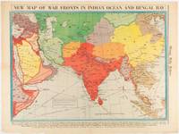
1942ref. 180782Chicago.: Chicago Daily Tribune. April 211942. Printed colour map on a single newspaper leaf 37.5 x 53.2 cm; 60 x 45 x 59.6 cm sheet marginal browning and at the folds but remarkably bright in very good condition. World War II map of Asia save for Japan showing British allies colonies and lines of supply and marking Japanese territorial occupation published in the Chicago Daily Tribune "The World's Greatest Newspaper" in April 1942. "The Indian Ocean and the Bay of Bengal are the strategic waters in this campaign in which the occupied parts of Burma and the Andaman Islands serve as bases" caption ". the historic Chicago Tribune was an innovator in color inks and printing but also a pioneer in bringing colorful art in the form of illustrations photographs cartoons and advertisements to the average person in an everyday medium." see The Janet A. Ginsburg Chicago Tribune Collection Michigan State University Libraries. . Chicago Daily Tribune. unknown
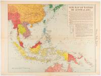
1619ref. 180757Chicago.: Chicago Daily Tribune. December 161942. Printed colour map on a single newspaper leaf 41.6 x 52.8 cm; 45 x 60 cm sheet inset legends marginal browning and at the folds but remarkably bright in very good condition. Map of Southeast Asia published in the Chicago Daily Tribune "The World's Greatest Newspaper" delineating the Pacific theatre of war with a detailed text legend. "This is a new war map of the far east showing an important part of southeastern Asia and Australasian waters from a station in which according to Prime Minister Curtin of Australia a United States fleet will operate." Interestingly New Guinea is marked as British rather than as an Australian administrative region which it became following the Treaty of Versailles. "… the historic Chicago Tribune was an innovator in color inks and printing but also a pioneer in bringing colorful art in the form of illustrations photographs cartoons and advertisements to the average person in an everyday medium." see The Janet A. Ginsburg Chicago Tribune Collection Michigan State University Libraries. . Chicago Daily Tribune. unknown
19488vo., folding coloured map on paper measuring 40 x 30 inches (approx. 102 x 76 cms) folding in 30 panels to 8.5 x 5.25 inches (approx. 22 x 13 cms); original blue wrappers printed in black, yapped edges, a virtually unopened, unused copy. EXTREMELY SCARCE IN THIS CONDITION.