Benchmark MapsBiblio.com
National Geographic MapsBiblio.com
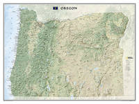
Oregon Tubed
ref. 6133466529National Geographic Maps . Other. New. pp. 1 National Geographic Maps unknown
Cold Books · ÍndiaUS$ 52,38≈ € 46,80
12.070 resultados
2024ref. SONGB0DLLLZ7KCBenchmark Maps 2024-12-15. 2024th ed. paperback. Used: Good. 11.00x1.00x16.00. Buy with confidence. Excellent Customer Service & Return policy. Benchmark Maps paperback
ref. 6133466529National Geographic Maps . Other. New. pp. 1 National Geographic Maps unknown
No publication date (1950s?) eng
Madrid, 1856. Un mapa de 84 x 111 cm., plegado a 21 x 14 cm., coloreado, con planos particulares de Orense; Contornos de Orense; Ribadavia; Allariz; Ginzo de Limia (sic); Monte-Rey, y Verín. Encuadernación original en cartoné y media tela.
2025ref. 199506Spain: Meninas Cartoneras Editorial 2025. First edition. Cardboard Covers. New. 253p. illus. cardboard covers. "Orgullosamente Libres" commemorates 50 years of LGTBI struggle and progress in Spain compiling material that honors the history of the movement and its advances in rights and visibility. Meninas Cartoneras Editorial unknown
1708pp. [12], 915, (41) [Index] + Engraved frontis title page (drawn by Joseph Mulder and engraved by Willem de Broen) showing an enormous globe, the author and allegorical figures; Plus + Folding engraved map of the Old World (31 x 42 cm.) - "Orbis Terrarum Veteribus Cogniti Tabula" by Christoph CELLARIUS, showing not only Europe, Africa and Asia, but also Australia; and four woodcut decorated initial letters. Regular title printed in red and black with the Wetstein's engraved whetstone publisher's device. Latin text in roman types, with extensive passages in italic and Greek, and occasional Hebrew and fraktur. 4to. 205 mm. Old damp stain on the first few leaves. The early full leather binding is quite worn. ** The front pastedown bears an early autograph ownership - apparently that of Noel Antoine Pluche (1688-1761), noted French naturalist and writer. Full Title: Nicolai Gurtleri Origines Mundi & in eo Regnorum, Rerumpubl. Populorum; horumque Duces, Migrationes, Dii, Religio, Mores, Instituta, Res gesta, civiles, sacra, bellica. Referuntur omnia ad loca & tempora sua, & ex ipsis fontibus, fereque propriis Historicorum verbis ad modum Historiae Universalis, cum maxime Ecclesiasticae reprasentantur. Cum Indicibus necessariis, iisque locupletissimis. First and only edition of a detailed history of the ancient world, covering and comparing the cultures, religions, governments, (civil and ecclesiastical) legal systems, etc. of societies throughout the Old World. After a brief discussion of the pre-diluvian world, it covers the ancient Middle East, Africa, Asia and Europe country by country or region by region, citing both biblical and classical sources. The Cellarius map appears to be based on the 1664 map of the same title by Johannes Strubius (Shirley 434, in the same projection and showing the same regions, but not including Australia), but its more accurate and up-to-date cartographic data appears to have been taken from one of the world maps in two hemispheres that were common from at least 1658 (Visscher's, Shirley 406). As in those maps, the coast of Australia shows a small break at 30 degrees south latitude. Cellarius (1638-1707) had produced a series of historical maps for his Notitia Orbis Antiqui, first published at Leipzig in 1701, and the present map may be based on one from that book. A detailed ancient history, with an attractive and unusually accurate folding map of the Old World. SCARCE. NCC (5 copies); OCLC WorldCat (7 copies); STCN (1 copy). **PRICE JUST REDUCED! W153
1945No marks or inscriptions. No creasing to covers or to spine. A very clean very tight copy with bright unmarked boards, very slight foxing to page edges and no bumping to corners. 286pp. Detailed guide to the Orkney Islands, to the north of Scotland's mainland.
ref. 1841395730.Gmap. Good. Access codes and supplements are not guaranteed with used items. May be an ex-library book. unknown
ref. GrayTPB2KW087Trakker Maps Inc. Trade paperback. Good. Prompt shipment with tracking. we ship in CLEAN SECURE NEW boxes Good trade paperback map some stains Trakker Maps, Inc paperback
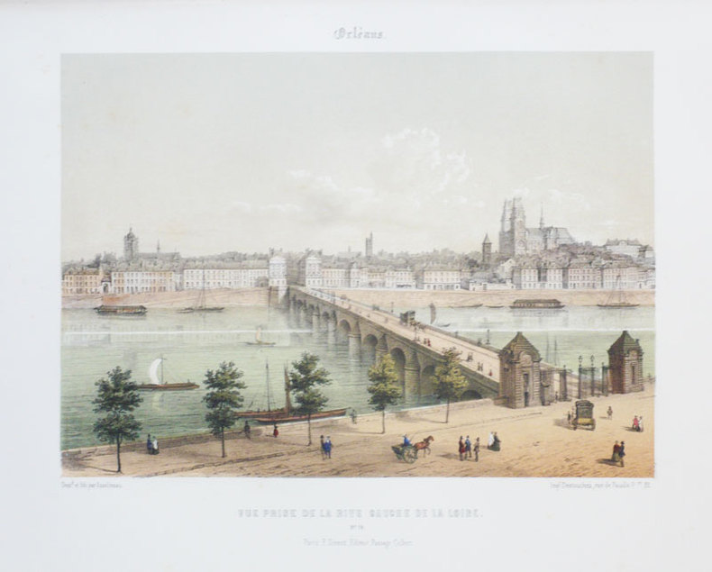
ref. LBW03d6bParis Benard circa 1850 216 x 295 mm.
40 x 55 cm. Blattgröße: 51 x 62 cm. *Gleichmäßig leicht gebräunt, sonst gut erhalten. Landkarten de
ref. LBW-7428[milieu du XIXe siècle]. 45,3 x 60,5 cm ; monté sur carton et sous passe-partout.
1855ref. LBW-888Paris F. Sinnett circa 1855 242 x 275 mm.
ref. 136080aafLeysin, Edition Impr. Nlle, 1939, in-8vo, 4 ff. de texte + 2 cartes dépl. en couleurs (18x45 cm.), brochure originale illustrée. (publicité au verso Ecole Suisse de Ski Ferd. Oguey Leysin).
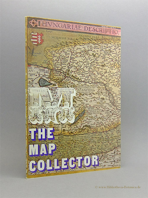
1979ref. 16775ABTring, Herfordshire, Map Collector Publ. Ltd, 1979. 30 x 21 cm. 10 (num. 2-11) S. mit zahlr. Abb. Illustrierter Originalkarton (Softcover). Schönes gepflegtes Exemplar. In: The Map Collector ; #6, March 1979.
ref. SLIVCN-9782897422592CARACTERE EDITIONS (CA)
ref. SLIVCN-9782897422622CARACTERE EDITIONS (CA)
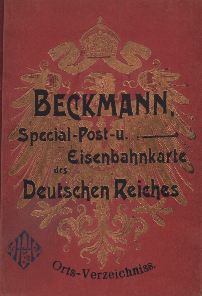
1905ref. 89526Stuttgart, Klemm und Beckmann, [ca. 1905]. 210 S. Gr.-8vo. 23,5 cm. OHLn. m. gold- u. schwarzgeprägtem VDeckel.
1962ref. 14813Neumünster, Karl Wachholtz, 1962. 320 S. (Textband) u. 419 S. (Bildband). Mit 18 Taf. (davon 2 farb.) u. 2 gefalt. Karten im Textband sowie sehr zahlr. Abb. a. Taf. im Bildband. (= Studien zur schleswig-holsteinischen Kunstgeschichte, Bde. 7 u. 8). 4to. OLn. in OPp.-Schuber.
1989ref. SBBIH-XOP5YSPV6ABHPhilip's 1989. hardcover. Acceptable. Please see the condition note after this for details if this is missing please consider Acceptable to mean poor quality that could include major staining water damage writing missing dustjacket etc etc. Our books are dispatched from a Yorkshire former cotton mill. We list via barcode/ISBN so please note that the images are stock images and may not be the exact copy you receive furthermore the details about edition and year might not be accurate as many publishers reuse the same ISBN for multiple editions and as we simply scan a barcode or enter an ISBN we do not check the validity of the edition data when listing. If you're looking for an exact edition please don't order at least not without checking with us first although we don't always have time to check. We aim to dispatch prompty the service used will depend on order value and book size. We can ship to most countries see our shipping policies. Payment is via Abe only. Philip's hardcover
1992ref. AUB-6621Saint-Blaise, éd. du Ruau 1992. Bel exemplaire relié, cartonnage orné d'éd., in-4, 112 pages avec annexes.
1992Light creasing, (Cappelens Kart ; 61). eng
ref. GOR006600469Paperback. Very Good. paperback
ref. GOR005648720Paperback. Good. paperback
2013ref. SBBI-mon0000123362PopOut Maps 2013. map. Acceptable. Please see the condition note after this for details if this is missing please consider Acceptable to mean poor quality that could include major staining water damage writing missing dustjacket etc etc. Our books are dispatched from a Yorkshire former cotton mill. We list via barcode/ISBN so please note that the images are stock images and may not be the exact copy you receive furthermore the details about edition and year might not be accurate as many publishers reuse the same ISBN for multiple editions and as we simply scan a barcode or enter an ISBN we do not check the validity of the edition data when listing. If you're looking for an exact edition please don't order at least not without checking with us first although we don't always have time to check. We aim to dispatch prompty the service used will depend on order value and book size. We can ship to most countries see our shipping policies. Payment is via Abe only. PopOut Maps unknown