National Geographic MapsBiblio.com
12.070 resultados
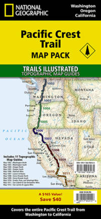
ref. 1566958504.Gmap. Good. Access codes and supplements are not guaranteed with used items. May be an ex-library book. unknown
ref. 1566958164.Gmap. Good. Access codes and supplements are not guaranteed with used items. May be an ex-library book. unknown
ref. DADAX1566958164National Geographic 2026-01-01. 2026. map. New. 5.50x4.70x10.30. Buy with confidence. Excellent Customer Service & Return policy. National Geographic unknown
ref. ING9781566958165National Geographic Maps. New. Special order direct from the distributor National Geographic Maps unknown
1983290 pages. "The dramatic story of the Canadian Pacific's Empresses on the trans-Pacific service, from record-breaking runs and multi-million-dollar silk cargoes to typhoons and war service." - from dust jacket. Contains over 400 illustrations, photographs, maps, timetables and scale drawings, together with detailed text, fleet lists, bibliography and index. Map endpapers. Colour frontis. Book clean, bright and unmarked with minimal wear. Light wear to dust jacket which bears closed two-inch tear at bottom of back panel and is now preserved in a glossy new archival-grade Brodart cover. Very nice copy of this handsome reference. Book
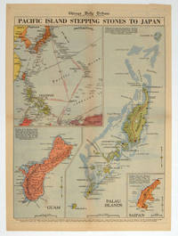
1944ref. 208880Chicago.: Chicago Daily Tribune. 28 September1944. Colour pictorial map on a single newspaper leaf archivally laid down on linen 50 x 39.2 cms; 59.3 x 43.3 cms sheet including captions faint toning to fold lines very good condition. Vivid colour maps of the Palau Islands Guam and Saipan in the Marianas and an inset location map published in the "Chicago Daily Tribune" in September 1944 months after the landing of US and Allied Forces in the offensive against the Japanese during the Pacific War. . Chicago Daily Tribune. unknown
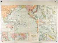
1930ref. 205997Sydney: H.E.C. Robinson. Circa1930s. Printed colour maps in all 65.5 x 99cm the main map roughly 50 x 65 cm on a single sheet 76 x 101.3 cms; a little carelessly folded decorative blue title cover a little dusty and a few fold splits and edgewear but in good condition. The exceptional feature of this map are the twenty six large scale inset maps of Pacific islands including: Malay States Singapore Hong Kong these at lower left Japan Philippine Islands Hawaiian Islands Fiji Solomon Islands Western and Eastern Samoa Tahiti Saipan New Caledonia and Dependencies and many others. The main map of the Pacific Ocean stretches from Southeast Asia including all of Australia and New Zealand the west coast of the Americas the Kamchatka Peninsula Manchukuo Manchuria and most of China. Korea and Taiwan are marked as Japanese Territory. Possessions of Britain France the Netherlands and the United States are highlighted. An incredibly rich source of information on the Pacific theatre during the years leading up to World War II. From the Sydney publisher H.E.C. Robinson the firm founded in 1895 by Herbert Robinson 1857-1933 a founder of the Royal Geographical Society of Australasia. . H.E.C. Robinson. unknown
199596 pages. Gazetteer. Maps and abundant colour illustrations and photos throughout. Bit of liquid paper atop front free endpaper otherwise clean and unmarked with moderate wear. Binding tight. A quality copy. Book
1973ref. Q-038504335XDoubleday & Co. Inc. Garden City 1973-01-01. Hardcover. New. New. In shrink wrap. Looks like an interesting title! Doubleday & Co., Inc., Garden City hardcover
ref. 1851375015.Gmap. Good. Access codes and supplements are not guaranteed with used items. May be an ex-library book. unknown
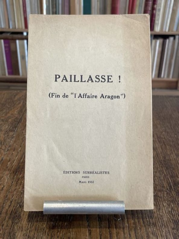
1932ref. 104016Paris Editions surréalistes 1932 1 vol. broché plaquette in-8, agrafée, 11 pp. Édition originale. Contributions de René Char, René Crevel, Salvado Dali, Paul Eluard, Max Ernst, Benjamin Péret, Yves Tanguy, André Thirion et Tristan Tzara. Exemplaire provenant de la bibliothèque de Georges Bataille avec tampon à l'encre noire sur le premier feuillet "Bibliothèque de Georges Bataille". Légère marque d'insolation à la couverture.
1932ref. 104016Paris Editions surréalistes 1932 1 vol. broché plaquette in-8, agrafée, 11 pp. Édition originale. Contributions de René Char, René Crevel, Salvado Dali, Paul Eluard, Max Ernst, Benjamin Péret, Yves Tanguy, André Thirion et Tristan Tzara. Exemplaire provenant de la bibliothèque de Georges Bataille avec tampon à l'encre noire sur le premier feuillet "Bibliothèque de Georges Bataille". Légère marque d'insolation à la couverture.
1970ref. 54789circa1970. Collection of 20 black and white photographic plates with their accompanying negatives of maps showing patterns of land use and land forms throughout Pakistan. These photographs are of two sets of maps prepared by the Canadian government covering the whole of Pakistan. A very useful set. From the collection of Professor Basil Johnson Emeritius Professor of Geography at the Australian National University Canberra. From the collection of geographer Professor Basil Johnson who was the author of a number of works on South Asia including "India Resources and Development" and "Geographical Dictionary of India". . unknown
1838ref. A105Paris, Delamarche, 1838 ; 336/475 mm, 1 pp., une feuille. Carte ancienne de la Palestine de 1838. Bon état.
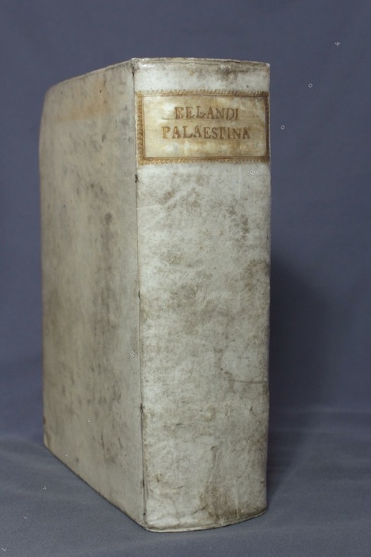
1716ref. 8475Norimbergae [Nuremberg], Petrum Conradum Monathum, 1716. Gros in-8 de [18]-787-[83]-[2bl.] pages, plein vélin ivoire du temps, dos lisse, titre doré au dos dans une cartouche de roulette dorée, tranches mouchetées. Hormis une pâle auréole d'humidité en marge supérieure de quelques feuillets, bel exemplaire.
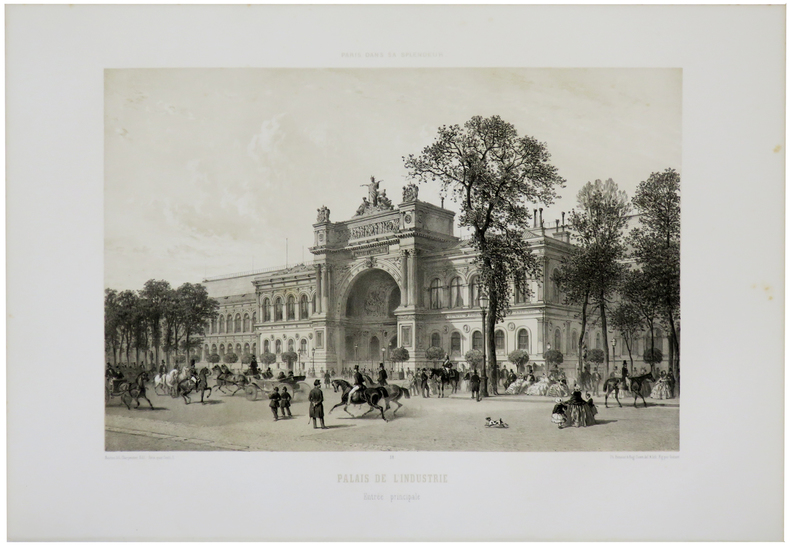
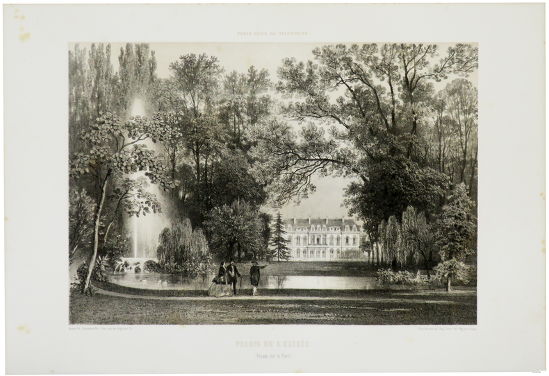
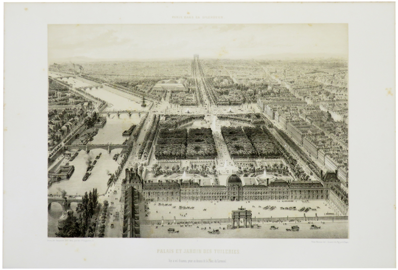
1861ref. LBW-5511Paris, Henri Charpentier, [1861]. 278 x 358 mm.
1861ref. LBW-5512Paris, Henri Charpentier, [1861]. 294 x 366 mm.
1861ref. LBW-5516Paris, Henri Charpentier, [1861]. 307 x 373 mm.
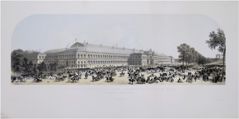
ref. LBW-8153Paris & Londres, Goupil & C.e & E. Gambart, 1er mai 1855. 390 x 970 mm.
1683ref. LBW02e76[1683]. 140 x 98 mm.
1855ref. LBW-671Paris Ch. Boivin 1855 235 x 411 mm.
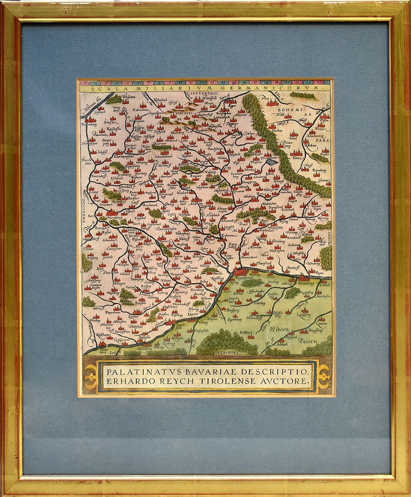
Format: 31 x 25 cm. Blattgröße: 43 x 28 cm. *Zeigt im Süden den Donaulauf und im Norden die Städte Bamberg im Westen und Pilsen im Osten. Landkarten de
ref. 59507BBo.J. Abraham Ortelius, geboren am 4. oder 14. April 1527 in Antwerpen, gestorben am 28. Juni 1598 ebenda. Flämischer Geograph und Kartograf. [3 Warenabbildungen]
Format (Abb): 31 x 24,5 cm. Blattgröße ca. 33,5 x 28 cm. *Unkolorierte Karte aus dem Atlas von Ortelius, rückseitig Text. - Zeigt das Gebiet zwischen Kulmbach, Straubing, Ingolstadt und Nürnberg Landkarten de
46 x 62 cm (Blattgröße: 70 x 52,5 cm). *Hinterlegter Randeinriss im linken Falz, sonst sauber und gut erhalten. Landkarten fr