Service hydrographique de la MarineLivre Rare Book
12.228 resultados
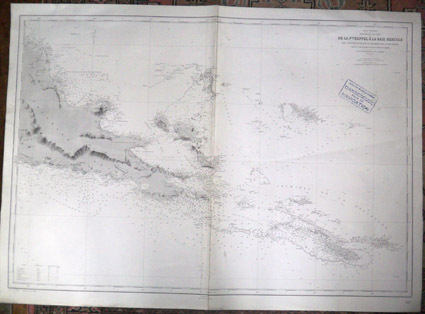
1938ref. 5831938 Service hydrographique de la Marine, 1899. Edition n° 2, juin 1938. N° 4977. Format : 106 x 75 cm.
1872ref. 8668Paris 1872. French naval chart sheet 3068 sheet size 36 x 53 cm engraved by Régnier black and white blank verso. The anchorage at San Juan Bautista located on Cumberland Bay Robinson Crusoe Island; the main settlement in the Juan Fernández Islands off the coast of Chile. Map unknown
1767ref. 34618(København, 1767). Kobberstukket prospekt af Odense. (16,7x25 cm.). Stukket af A. Lode. På skrivepapir.
1767ref. 34619(københavn, 1767). Kobberstukket grundplan af Odense. (20,7x33 cm.). På skrivepapir.
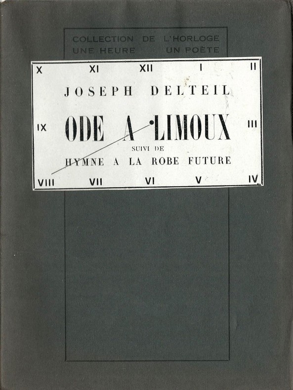
ref. 1908Editions des Cahiers libres / Collection de l'Horloge - Une Heure, un Poète n° 8 de 1927. In-12 broché non paginé au format 14,5 x 19,5 cm. Couvertures bleues rempliées,avec vignette de titre collée au 1er plat, représentant un cadran d'horloge, indiquant le numéro de l'oeuvre dans la série. Dos carré. Plats et intérieur frais, malgré quelques rousseurs. Un des 200 exemplaires n° sur hollande de rives ( n° 129 ). Superbe état général. Rare édition originale à laquelle on joint une carte postale de Limoux expédiée et dédicacée par Joseph Delteil à André Clément Marot.
1767(København, 1767). Kobberstukket prospekt af Odense. (16,7x25 cm.). Stukket af A. Lode. På skrivepapir.
1767(københavn, 1767). Kobberstukket grundplan af Odense. (20,7x33 cm.). På skrivepapir.
Format (Bildbereich):. 20 x 26 cm. Leicht gebräunt, insgesamt gut erhalten. Landkarten de
1930ref. 26129Chateaubriant André Quinquette Imprimeur 1930 -in-8 broché une plaquette, brochée bleue in-octavo Editeur (booklet in-octavo Editor)(25,3 x 16,8 cm), dos muet (spine without title), première de couverture imprimée en noir(front cover printed), quatrième de couverture muette (back cover without text), toutes tranches non rognées (all smooth edges), Envoi autographe manuscrit de l'Auteur à l'encre noire en haut de la page de garde : "...à Mr Chapeau avec toute ma sympathie....(signé).. Chapron..."[François Chapeau (1863-1939)Ébéniste devenu photographe, librairie, bouquiniste et éditeur de cartes postales historiques créées à partir de documents anciens (gravures, daguerréotypes, etc.)]illustration :1 plan dépliant en frontispice sur double page du château (illustration : 1 folding plan of the castle) + 6 photographies hors-texte en noir sur papier glaçé , 63 pages, 1930 à Chateaubriant André Quinquette Imprimeur-Editeur,
1758ref. 20427A Amsterdam, et à Leipsick, Chez Arkstée et Merkus, 1758. 3 volumes in-4 de [4]-LXXXVI-527; [4]-XVI-634; [4]-648 pages, plein veau marbré, dos à nerfs ornés de filets et fleurons dorés, étiquette de titre et tomaison rouge et brune, tranches marbrées.
1754ref. 21001Londres 1757, Paris, Huart, 1755 et Cologne, Pierre Marteau, 1754. 6 volumes in-12 reliés en plein veau moucheté brun, dos à nerfs ornés de filets et fleurons dorés, pièce de titre en maroquin rouge, de tomaison en maroquin vert olive, tranches jaspées bleu.
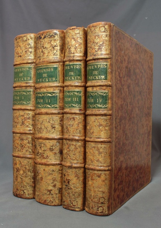
1786ref. 8485Lausanne, J. P. Heubach et compagnie, 1786. 4 volumes in-4 de [6]-CVIII-408-[4]; [4]-546-[4]; [4]-314-[6]; [4]-360-[4] pages, plein veau écaille, dos à nerfs richement ornés de filets et fleurons dorés, pièces de titre et tomaison en maroquin vert, triples filets dorés encadrant les plats, double filets dorés sur les coupes, tranches jaspées bleues. Un petit manque à la coiffe supérieure du tome trois, deux coins frottés, premiers feuillets légèrement brunis au début des volumes.
1902ref. LBW-8845Paris, Librairie Ch. Delagrave, [1902]. 1 x 1,25 m, marges comprises.
1928No marks or inscriptions. No creasing to covers or to spine. A very clean very tight copy with bright unmarked boards, very slightly dusty page edges, clear gilt lettering to spine and no bumping to corners. 332pp. Long before the age of cheap overseas travel, the author guides us on a tour of Southern France centred around the Cevennes. Illustrated and with map at rear end paper. He documents the costs of the trip which are interesting.
1939ref. 60959San Francisco CA: San Francisco Bay Exposition 1939. 8vo. 116 pp. With oblong folio. 19.25 x 16 in. colour pictorial map frontisp. detailed sections of island and exhibits in blue on verso fold creases numerous photo illustrations text maps diagrams stepped thumb tabs at outer fore-edge. Blue-cloth backed softcovers featuring the striking Art Deco cover art by Simon “Si” Vanderlaan 1904-1986 famed pin-up artist and illustrator who worked for Walt Disney studios during World War II minor scuffing very minor age toning shelfwear still VG bright copy from the library of Prof. Marvin Nathan. Revised 1939 edition of this excellent guide to the first year in 1939 of the Golden Gate International Exposition including “Cartograph” revealing all of the Art Deco architectural wonders and surrounding areas of Treasure Island. The pictorial maps were issued separately as well as with the “Official Guide Books.” Ruth Taylor White’s 1902-1985 delightful pictographic maps or cartographs included depictions of the Territory of Hawaii in which she had driven or traveled to every corner of the Islands and the Grand Canyon for her for her brother’s book “Grand Canyon Country.” Later Little Brown requested an entire atlas which was published as the very scarce Our U.S.A. “A gay geography.” Her cartographs influenced the style of American cartographic illustration for decades afterwards. See: Griffin Mapping Wonderlands: Illustrated Cartography pp. 192-193; Field MapCarte 29/364: Our U.S.A. A Gay Geography 2014. San Francisco Bay Exposition, paperback
1889ref. 9062St. Paul Minn: W.C. Riley 1889. 8vo 140 15pp ads and blank journal at rear. Illustrations maps large folding map in pocket at rear as issued. Original leather over card covers stamped in gilt on front with red page edges. Gift inscription on ffep in pencil dated 1907 else clean internally. A beautiful fine copy. Beautiful copy of this illustrated tourist's guide to Yellowstone giving descriptions of the attractions and features of the park with maps a brief history and rules and regulations. Riley issued a just few of these according to OCLC between 1886 and 1890. Scarce and more so in this condition - the nicest we've seen. . W.C. Riley unknown
19349" x 4" map folds out to 24" x 18". Printed in two colours - the traditional Gulf blue and orange. Moderate wear. Unmarked. A quality copy of this wonderful vintage road map. Map
1956ref. 15240Ottawa: Edmond Cloutier Queens' Printer and Controller of Stationery. Very Good in Very Good- dust jacket. 1956. First Edition. Hardcover. Volume I has no dust jacket the red coth covered boards dated 1956 some shelf soil to page edges top back corner bumped. Volume II dated 1953 has chipped DJ 1 inch tear bottom front panel and 2 inch tear top back panel.; Fold-out maps in Vol. I and map endpapers appear undamaged B&W and color illustrations in Vol II; Color Illustrations . Edmond Cloutier, Queens' Printer and Controller of Stationery hardcover
1938ref. 041686Ottawa: The Minister Of National Defence 1938. Book. Near Fine. Hardcover. 1st Edition. 4to - over 9¾ - 12" tall. 460 Pages Maps. The Minister Of National Defence Hardcover
1914ref. CJSBM18X1914. Hardcover. Fair. . These are a collection of First World War maps from the 1920s and 30s detailing battles and tactics.They are associated with similar volumes of text but would befit anyone who has an appetite for old war maps war history or those seeking original research.Some are unopened from their original paper clasps and are in almost pristine condition save a bit of fading and the odd library sticker mark.A very rare find.Ex private library stock so expect some library markings and sparse annotations in the text. Binder in good to very good condition with only a few signs of wear considering age. All maps present. Some yellowing of pages and some bleaching on spine. Foxing on some maps and boxes. Please note that the image above is a stock photo and may differ somewhat to that of the item delivered. 1918 variant includes both text AND maps.Many thanks for looking. hardcover
1914ref. CJSBM16K1914. Hardcover. Fair. . These are a collection of First World War maps from the 1920s and 30s detailing battles and tactics.They are associated with similar volumes of text but would befit anyone who has an appetite for old war maps war history or those seeking original research.Some are unopened from their original paper clasps and are in almost pristine condition save a bit of fading and the odd library sticker mark.A very rare find.Ex private library stock so expect some library markings and sparse annotations in the text. Binder in good to very good condition with only a few signs of wear considering age. All maps present. Some yellowing of pages and some bleaching on spine. Foxing on some maps and boxes. Please note that the image above is a stock photo and may differ somewhat to that of the item delivered. 1918 variant includes both text AND maps.Many thanks for looking. hardcover
1935ref. 624644London: Macmillan and Co Ltd 1935. Eight volumes complete. Ex-library red cloth hardcovers with gilt lettering to the spines no dust jackets from Chris Church College Oxford in very good condition for their age. Maps and sketches by Major A.F. Becke. Book 1: The German march offensive and its preliminaries. Book 2: The German march offensive and its preliminaries: Appendices. Box 1: Maps. Book 3: March-April: Continuation of the German offensives. Box 2: Maps. Book 5: May-July: The German diversion offensives and the first allied counter-offensive. Volume IV: 8th August-26th September: The Franco-British Offensive. Volume V: 26th September-11 November: The advance to victory. Boards are somewhat sunned with labels on the lower spines. Spine ends are slightly bumped Page blocks and endpapers are lightly foxed with some foxing on occasional pages. Within customary array of labels and stamps. Bindings are sound and pages are otherwise clear. LW. Hardcover. Very Good/No Dust Jacket. Used. Macmillan and Co Ltd Hardcover
1957ref. 86782chOttawa: Minister of National Defence 1957. Book. Near Fine. Hardcover. 8vo - over 7¾" - 9¾" tall. Three-volume set all gilt red cloth hardcovers. Published 1957 1958 and 1960 respectively incorporating corrections. Apart from moderate handling to covers slight toning to edges and an old owner's name inside front cover of each volume these are all clean tight and unmarked volumes. Very neat -- a sound and handsome set. Endpaper maps. Illustrated frontispiece. Illustrations and folding maps. Minister of National Defence Hardcover
ref. 0881300748.Ghardcover. Good. Access codes and supplements are not guaranteed with used items. May be an ex-library book. hardcover