COLLECTIFLivre Rare Book
9 172 résultats
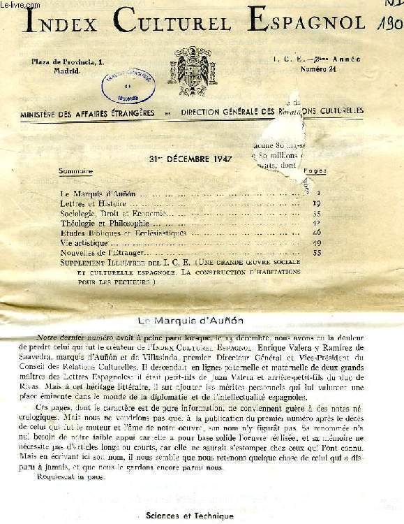
1969réf. RO40187430Ministère des Affaires Etrangères, Madrid. 1947-1969. In-8. Broché. Etat d'usage, Couv. convenable, Dos satisfaisant, Intérieur frais. Env. 80 numéros. Années 1952, 1957-1963 manquantes. Texte en français, et en espagnol. Quelques tampons et annotations de bibliothèque. 1er feuillet du n° 24 de déc. 1947 déchiré avec manque altérant sa lecture.. . . . Classification Dewey : 946-Espagne, Portugal
réf. RO20231926Garnier Frères. Non daté. In-12. Relié. Etat d'usage, Couv. légèrement passée, Dos abîmé, Intérieur frais. 517 + 10 pages augmentées de nombreuses Frontispice illustré en noir et blanc sous serpente. Tranches jaspées. Pages 420 à 458 manquantes. Nombreuses illustrations et cartes en noir et blanc dans et hors texte. Premier plat désolidarisé du dos.. . . . Classification Dewey : 946-Espagne, Portugal
1835réf. R100074681Charpentier. 1835. In-8. Relié demi-cuir. Etat d'usage, Plats abîmés, Dos satisfaisant, Quelques rousseurs. XVI+407 pages - titre et filets dorés sur le dos - papier jauni - coins, tranches et plats frottés - dos légèrement craquelé - tampon et manque en pied sur la page de titre - tampon et trace d'encre sur la page IX ne gênant pas la lecture - annotation au crayon à papier et à l'encre sur les contre plats - papier du 1er plat partiellement désolidarisé.. . . . Classification Dewey : 946-Espagne, Portugal
1809réf. R320140975Chez Arthus-Bertrand. 1809. In-8. Relié plein cuir. Etat d'usage, Coins frottés, Dos frotté, Intérieur acceptable. XIV + 464 pages + 415 pages - gravure en noir et blanc sous serpente en frontispice dans les deux tomes - contre plats jaspés - titre, tomaison et filets dorés sur pièce de titre (manque la piece de titre sur le tome 2) - coins, tranches plats et dos frottés.. . . . Classification Dewey : 946-Espagne, Portugal
Michel Lévy Frères, Paris. 1868. In-8 Carré. Broché. Etat d'usage. 1er plat abîmé. Dos abîmé. Non coupé. 268 pages. Etiquette de code sur le dos. Tampons et annotation de bibliothèque en page de titre. Dos très abîmé, avec manques. 1ers cahiers détachés. Rousseurs. Introduction historique. Recettes de l'Espagne 1866-7. Ses dépenses 1866-67. Liste civile. Dette publique. Affaires étrangères. Marine, flotte...
1868réf. RO40202898Michel Lévy Frères, Paris. 1868. In-8. Broché. Etat d'usage, 1er plat abîmé, Dos abîmé, Non coupé. 268 pages. Etiquette de code sur le dos. Tampons et annotation de bibliothèque en page de titre. Dos très abîmé, avec manques. 1ers cahiers détachés. Rousseurs.. . . . Classification Dewey : 946-Espagne, Portugal
1975réf. RO30142717ROBERT LAFFONT. 1975. In-4. Relié. Bon état, Couv. convenable, Dos satisfaisant, Intérieur frais. environ 400 pages par volumes=, augmentées de nombreuses photos et illustrations en couleurs et en noir et blanc dans et hors texte - texte sur plusieurs colonnes - ouvrages sous rhodoïd sauf le tome 4 - étiquette contre collée en coiffe en pied à chaque volumes - tampons de bibliothèques - 3 PHOTOS DISPONIBLES. . . . Classification Dewey : 946-Espagne, Portugal
1873réf. 3471790Olisipone (Lisboa), typis academicis, 1868-1873. Folio. Zus. 563 S. In 4 OBrosch. Unbeschnitten. Fasc. 1 u. 2 Umschl. bestoßen u. teilw. etwas eingerissen od. geknittert. Fasc. 1-3 S. teilw. braunfl.
1819réf. 460147Berlin, Christiani, 1819. XXIV, 88 S. Halbleder des frühen 20. Jh. [2 Warenabbildungen]
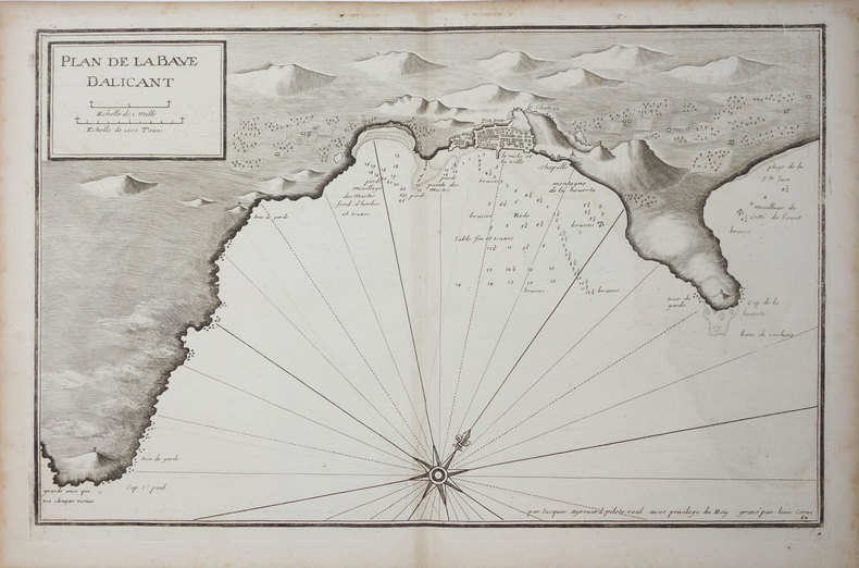
réf. LBW024fc[circa 1730]. 291 x 454 mm.
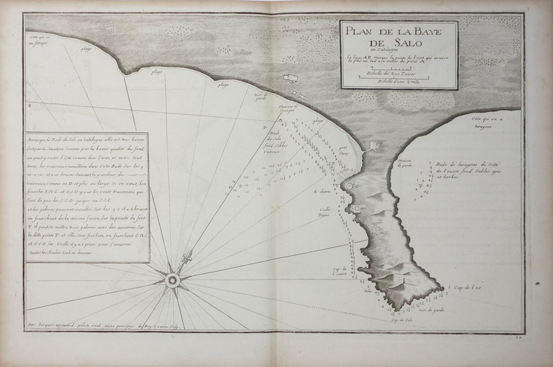
réf. LBW024ee[circa 1730]. 290 x 447 mm.
réf. LBW024ef[circa 1730]. 285 x 442 mm.
réf. 905(Librairie Fontaine, Paris, 1886?)
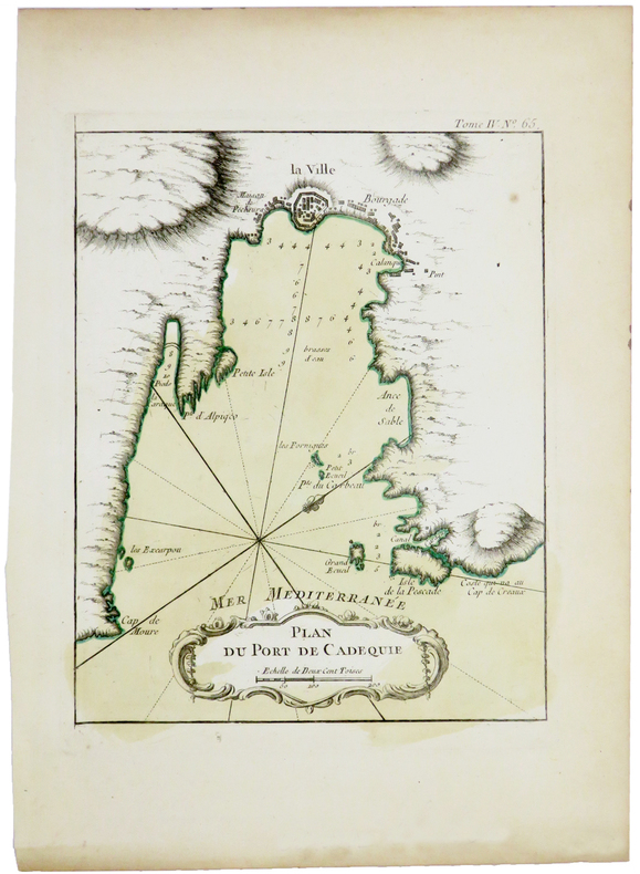
1764réf. LBW-5420[1764]. 220 x 175 mm.
1764réf. LBW-7011764 207 x 166 mm.
1764réf. LBW-7031764 212 x 165 mm.
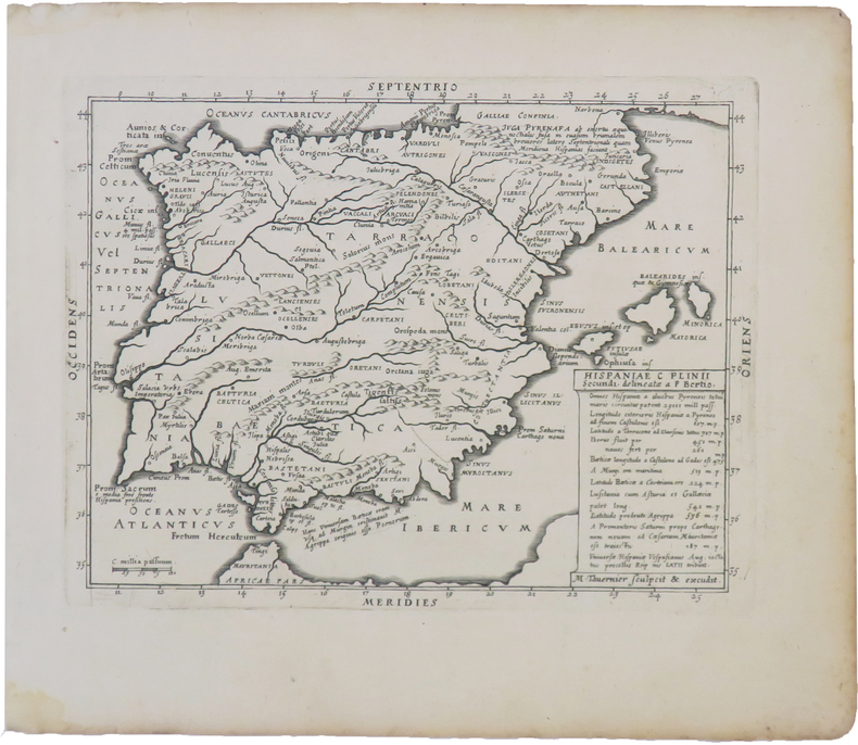
réf. LBW-3966Paris, Melchior Tavernier, 1628. 143 x 186 mm.
1794- EDIZIONE ORIGINALE, COLORITURA COEVA -Importante e decorativa mappa tratta dal "Nuovo Atlante Geografico Universale delineato sulle ultime osservazioni", edito a Roma dal 1792 fino al 1801, opera che la Calcografia Camerale commissionò al Cassini al fine di sostituire l’ormai obsoleto "Mercurio Geografico".Giovanni Maria Cassini, Chierico Regolare Somasco fu geografo e cartografo, ma anche intagliatore di architetture e prospettive - uno dei migliori discepoli di Giovanni Battista Piranesi - Cassini fu uno degli ultimi sferografi italiani del Settecento ed i suoi globi ebbero una notevole diffusione, come pure questo "Nuovo Atlante Geografico".Incisione in rame, coloritura coeva dei contorni, leggere bruniture, per il resto in ottimo stato di conservazione. L'Atlante del Cassini fu ristampato dalla Calcografia Camerale nel primo quarto del XIX secolo, prima del 1839. Solo gli esemplari di prima edizione come questo sono stampati su carta vergata coeva e sono colorati a mano in epoca. Le tirature del XIX secolo sono già su carta meccanica, priva di vergelle, e generalmente in bianco e nero. - FIRST EDITION, CONTEMPORARY OUTLINE COLOUR -The Italian painter and engraver, Giovanni Maria Cassini, produced this splendid map of as part of his epic three-volume atlas. Published in: Nuovo atlante geografico universale delineato sulle ultime osservazioni. Roma, Calcografia camerale, 1792-1801.Cassini was geographer and cartographer but he was also good at engraving architectural items and perspectives – he was one of the best disciples Giovanni Battista Piranesi had. Moreover, Cassini was one of the last artists to engrave spheres in the XVIII century and his globes were quite famous and widespread, and realized the most important Italian Atlas of the XVIII century; his maps always bear a cartouche, extremely rich in colours and details. Copperplate with fine original hand colour, some foxing, otherwise in very good condition.The Cassini's Atlas was reprinted by the Calcografia Camerale in the first quarter of XIXth century (before 1839). Only the first edition of the atlas is printed on contemporary laid paper, while the late issue are on XIXth century paper and often without colour.
1794- EDIZIONE ORIGINALE, COLORITURA COEVA -Importante e decorativa mappa tratta dal "Nuovo Atlante Geografico Universale delineato sulle ultime osservazioni", edito a Roma dal 1792 fino al 1801, opera che la Calcografia Camerale commissionò al Cassini al fine di sostituire l’ormai obsoleto "Mercurio Geografico".Giovanni Maria Cassini, Chierico Regolare Somasco fu geografo e cartografo, ma anche intagliatore di architetture e prospettive - uno dei migliori discepoli di Giovanni Battista Piranesi - Cassini fu uno degli ultimi sferografi italiani del Settecento ed i suoi globi ebbero una notevole diffusione, come pure questo "Nuovo Atlante Geografico".Incisione in rame, coloritura coeva dei contorni, leggere bruniture, per il resto in ottimo stato di conservazione. L'Atlante del Cassini fu ristampato dalla Calcografia Camerale nel primo quarto del XIX secolo, prima del 1839. Solo gli esemplari di prima edizione come questo sono stampati su carta vergata coeva e sono colorati a mano in epoca. Le tirature del XIX secolo sono già su carta meccanica, priva di vergelle, e generalmente in bianco e nero. - FIRST EDITION, CONTEMPORARY OUTLINE COLOUR -The Italian painter and engraver, Giovanni Maria Cassini, produced this splendid map of as part of his epic three-volume atlas. Published in: Nuovo atlante geografico universale delineato sulle ultime osservazioni. Roma, Calcografia camerale, 1792-1801.Cassini was geographer and cartographer but he was also good at engraving architectural items and perspectives – he was one of the best disciples Giovanni Battista Piranesi had. Moreover, Cassini was one of the last artists to engrave spheres in the XVIII century and his globes were quite famous and widespread, and realized the most important Italian Atlas of the XVIII century; his maps always bear a cartouche, extremely rich in colours and details. Copperplate with fine original hand colour, some foxing, otherwise in very good condition.The Cassini's Atlas was reprinted by the Calcografia Camerale in the first quarter of XIXth century (before 1839). Only the first edition of the atlas is printed on contemporary laid paper, while the late issue are on XIXth century paper and often without colour.
1794- EDIZIONE ORIGINALE, COLORITURA COEVA -Importante e decorativa mappa tratta dal "Nuovo Atlante Geografico Universale delineato sulle ultime osservazioni", edito a Roma dal 1792 fino al 1801, opera che la Calcografia Camerale commissionò al Cassini al fine di sostituire l’ormai obsoleto "Mercurio Geografico".Giovanni Maria Cassini, Chierico Regolare Somasco fu geografo e cartografo, ma anche intagliatore di architetture e prospettive - uno dei migliori discepoli di Giovanni Battista Piranesi - Cassini fu uno degli ultimi sferografi italiani del Settecento ed i suoi globi ebbero una notevole diffusione, come pure questo "Nuovo Atlante Geografico".Incisione in rame, coloritura coeva dei contorni, leggere bruniture, per il resto in ottimo stato di conservazione. L'Atlante del Cassini fu ristampato dalla Calcografia Camerale nel primo quarto del XIX secolo, prima del 1839. Solo gli esemplari di prima edizione come questo sono stampati su carta vergata coeva e sono colorati a mano in epoca. Le tirature del XIX secolo sono già su carta meccanica, priva di vergelle, e generalmente in bianco e nero. - FIRST EDITION, CONTEMPORARY OUTLINE COLOUR -The Italian painter and engraver, Giovanni Maria Cassini, produced this splendid map of as part of his epic three-volume atlas. Published in: Nuovo atlante geografico universale delineato sulle ultime osservazioni. Roma, Calcografia camerale, 1792-1801.Cassini was geographer and cartographer but he was also good at engraving architectural items and perspectives – he was one of the best disciples Giovanni Battista Piranesi had. Moreover, Cassini was one of the last artists to engrave spheres in the XVIII century and his globes were quite famous and widespread, and realized the most important Italian Atlas of the XVIII century; his maps always bear a cartouche, extremely rich in colours and details. Copperplate with fine original hand colour, some foxing, otherwise in very good condition.The Cassini's Atlas was reprinted by the Calcografia Camerale in the first quarter of XIXth century (before 1839). Only the first edition of the atlas is printed on contemporary laid paper, while the late issue are on XIXth century paper and often without colour.
1652Questa tavola è parte del libro di Isaac Commelin "Fredrick Hendrick Van Nassauw Prince Van Orangien Zyn Leven En Bedryf."Un libro molto bello che descrive la vita e le campagne navali e militari condotte da Frederick Hendrick Van Nassau, Principe di Orange, e illustrato con incisioni in rame raffiguranti le varie battaglie e assedi coinvolti nella lotta per controllare la ricchezza del Sud America e la guerra nei Paesi Bassi contro il dominio spagnolo.Incisione in rame, in buono stato di conservazione. The plate is part of the book by Isaac Commelin "Fredrick Hendrick Van Nassauw Prince Van Orangien Zyn Leven En Bedryf."A very fine book describing the life and naval & military campaigns waged by Fredrick Hendrick Van Nassau, Prince of Orange, and illustrated with copper engravings depicting the various battles and sieges involved in the struggle to control the wealth of South America, and the war in the Netherlands against Spanish dominion. On the death of his brother Maurice in 1625, Frederick Henry succeeded him in the stadtholderates of the five provinces of Holland, Zeeland, Utrecht, Overijssel and Guelders, and in the important posts of captain and admiral-general of the Union. Frederick Henry proved himself almost as good a general as his brother, and a far more capable statesman and politician. For twenty-two years he remained at the head of government in the United Provinces, and in his time the power of the stadtholderate reached its highest point. The 'Period of Frederick Henry,' as it is usually styled by Dutch writers, is generally accounted the golden age of the republic. It was marked by great military and naval triumphs, by world-wide maritime and commercial expansion, and by a wonderful outburst of activity in the domains of art and literature. The chief military exploits of Frederick Henry were the sieges and captures of Grol in 1627, 's-Hertogenbosch in 1629, of Maastricht in 1632, of Breda in 1637, of Sas van Gent in 1644, and of Hulst in 1645. During the greater part of his administration the alliance with France against Spain was the pivot of Frederick Henry's foreign policy. Also mentioned in this volume is the Dutch Admiral and folk hero Pieter Pietersen Hein (November 25, 1577- June 18, 1629). In 1623, he became vice-admiral of the new Dutch West India Company (WIC) and sailed to the West Indies the following year. In Brazil, he briefly captured the Portuguese settlement of Salvador, personally leading the assault on the sea fortress of that town. Then he attacked Luanda in Angola but failed to capture the city. In a subsequent raid in 1627 to retake Bahia, he failed but captured over thirty Portuguese ships with a large cargo of sugar. He also captured half of the Spanish treasure fleet in Matanzas Bay, Cuba and the resulting booty funded the Dutch army and allowed the subsequent capture of the town of S'Hertogenbosch.
1685Carta geografica tratta dal" Oorlogs tablessen, Oft uytgesochte Kaarten". La carta è circondata dalle piante delle principali città della regione. Incisione in rame, coloritura coeva, in ottimo stato di conservazione. Daniel de la Feuille, a Frenchman from Sedan, settled in Amsterdam about 1683 and built up a business there as an engraver, art dealer and book and map publisher.A beautiful and unkommon map taken from "Oorlogs tablessen, Oft uytgesochte Kaarten", published in Amsterdam at the end of 17th century. Copper engraving with fine original colour, in very good condition.
réf. 13975352Cologne: Chez les hétitiers de Pierre Marteau, 1711 2 vol. in-12, vol. 2: 240-(10) (tables des vol. 1 et 2), 6 planches gravées dont 2 dépliantes; vol. 3: (4)-270 pages. Re.l veau d'ép., dos à 5 nerfs, lég. usures, coiffe sup. du vol. 2 arrasée, travail de ver sur le plat sup. du vol. 2, autrement exemplaire en bon état, intérieur frais. Chaque volume est complet en soi: Le deuxième tome est une relation de l'Inquisition qui avait parue anonymement en 1687-88, ici dans sa version la plus complète, revue, corrigée et augmentée avec 6 planches. Le troisième tome traite des moeurs religieuses des Indiens.
1656Acquaforte, 1656 circa, con coloritura coeva dei contorni, in buone condizioni.Esemplare del secondo stato di due, con l’imprint di Jacques Lagniet e la data del 1661.La mappa proviene dal rarissimo foglio intitolato “L’Europe par P. Du Val Geographe du Roy”, dal quale è stato ritagliato all’epoca - come anche certificato dalle antiche iscrizioni a inchiostro su alcune delle mappe - venendo applicato su un supporto di carta contemporanea, a formare un piccolo atlante in-sedicesimo oblungo.Non abbiamo trovato bibliografia su questo foglio d’Europa, pertanto ci riferiamo alla scarsa letteratura sui fogli che rappresentano gli altri continenti.Secondo Philip Burden (che descrive la carta dell’America), lo scopo di questa rara curiosità cartografica di Pierre Duval non è noto. Fa parte di un insieme di quattro tavole raffiguranti i continenti. Può essere datato, per motivi cartografici, all’incirca nel 1656. Burden descrive un solo esemplare di primo stato e due prove con l’indirizzo di Lagniet.La mappa dell'Asia è stata recentemente descritta da Jason Hubbard, che elenca un solo esemplare di primo stato e 5 di secondo (cfr. Japoniae Insulae, The Mapping of Japan, p. 201).Richard Betz descrive 3 stati del foglio dell’Africa: senza la data, con l’imprint di Jacques Lagniet e la data del 1661, e con tracce di cancellazione sui suoi indirizzi (cfr Betz, The Mapping of Africa, pp. 294, 295). Elenca un solo esemplare di primo stato, tre copie di quello stampato da Lagniet e tre del foglio con l’indirizzo abraso. Di un secondo stato del foglio del continente europeo, siamo stati di censire solo l’esemplare conservato presso la Bibliotheque National de France, unica istituzione che vanta nella propria raccolta tutti e quattro i fogli dei continenti di Pierre Duval e Jacques Lagniet. Etching, circa 1656, with contemporary outline colour, good condition.Example of the second state, with the imprint of Jacques Lagniet and the date 1661.The map comes from the very rare sheet entitled “L’Europe Par le Sieur Du Val Geographe Ord. du Roy”, from which it was cut at the time and laid down on contemporary laid paper support, to form a small atlas, as certified by the ancient ink inscriptions on some of the maps.We have not found bibliography on this sheet of Europe, we therefore refer to the scarce literature on the sheets representing the other continents.According with Philip Burden “The purpose of this rare curiosity by Pierre Duval is not known. It forms part of a set of the four known continents. It can be dated to apporximately 1656 […] The second state bears the additional imprint of Jacques Lagniet and the date 1661” (cf. Burden, The Mapping of North America, pp. 417-418, n. 322). The map of Asia is recently described by Jason Hubbard: “This miniature map of Japan is on a sheet of maps of Asia. Besides the map of the Asian continent there are 17 detailed maps including Turkey, the Holy Land, Georgia and Arabia. […] This map was issued as a loose sheet of Asia maps; similar maps are known for Africa, America and Europe” (cf. Japoniae Insulae, The Mapping of Japan, p. 201).Richard Betz describes 3 states of the broadsheet of Africa: without the date, with the imprint of Jacques Lagniet and the date 1661, and with traces of erasure on his addres (cf. Betz, The Mapping of Africa, pp. 294, 295). According Hubbard the third state of the map of Asia is only an assumption.Of a second state of the broadsheet of Europe, we are able to find only the example at the Bibliotheque National de France. cf. J. Hubbard, Japoniae Insulae. The Mapping of Japan, pp. 199-201, n. 28; cf. Burden, The Mapping of America, n. 322, II/II; cf. Pastoureau (1984) p. 136; cf. Betz, The Mapping of Africa, pp. 294, 295, n. 85.
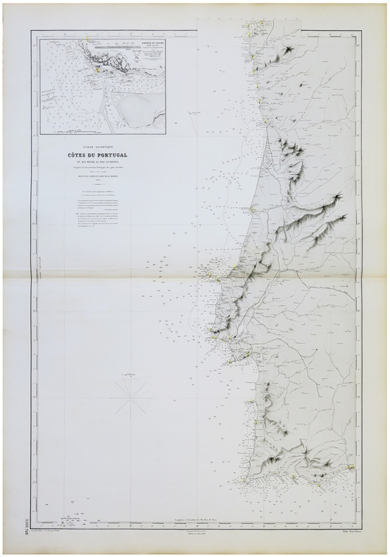
1874réf. LBW-5713Dépôt des Cartes et Plans de la Marine, 1874-1890. 950 x 607 mm.